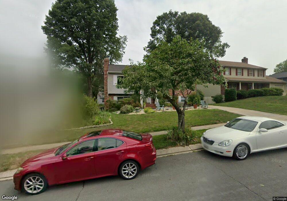
550 Norton Ln Arnold, MD 21012
Estimated Value: $526,396 - $578,000
Studio
3
Baths
1,622
Sq Ft
$341/Sq Ft
Est. Value
About This Home
This home is located at 550 Norton Ln, Arnold, MD 21012 and is currently estimated at $553,849, approximately $341 per square foot. 550 Norton Ln is a home located in Anne Arundel County with nearby schools including Broadneck Elementary School, Magothy River Middle School, and Broadneck High School.
Ownership History
Date
Name
Owned For
Owner Type
Purchase Details
Closed on
Jun 3, 2019
Sold by
Tucker Mark Todd
Bought by
Tucker Heather Hamilton Bates and Tucker Mark Todd
Current Estimated Value
Purchase Details
Closed on
Mar 19, 2019
Sold by
Tucker Mark T and Tucker Melanie I
Bought by
Tucker Mark T
Purchase Details
Closed on
Oct 25, 1996
Sold by
Deakyne Douglas A
Bought by
Tucker Mark T and Tucker Melanie I
Create a Home Valuation Report for This Property
The Home Valuation Report is an in-depth analysis detailing your home's value as well as a comparison with similar homes in the area
Home Values in the Area
Average Home Value in this Area
Purchase History
| Date | Buyer | Sale Price | Title Company |
|---|---|---|---|
| Tucker Heather Hamilton Bates | -- | None Available | |
| Tucker Mark T | -- | None Available | |
| Tucker Mark T | $148,000 | -- |
Source: Public Records
Mortgage History
| Date | Status | Borrower | Loan Amount |
|---|---|---|---|
| Closed | Tucker Mark T | -- |
Source: Public Records
Tax History
| Year | Tax Paid | Tax Assessment Tax Assessment Total Assessment is a certain percentage of the fair market value that is determined by local assessors to be the total taxable value of land and additions on the property. | Land | Improvement |
|---|---|---|---|---|
| 2025 | $3,349 | $450,367 | -- | -- |
| 2024 | $3,349 | $407,300 | $249,000 | $158,300 |
| 2023 | $3,264 | $405,033 | $0 | $0 |
| 2022 | $3,062 | $402,767 | $0 | $0 |
| 2020 | $2,921 | $389,000 | $0 | $0 |
| 2019 | $5,621 | $377,500 | $0 | $0 |
| 2018 | $3,711 | $366,000 | $209,000 | $157,000 |
| 2017 | $2,705 | $358,467 | $0 | $0 |
| 2016 | -- | $350,933 | $0 | $0 |
| 2015 | -- | $343,400 | $0 | $0 |
| 2014 | -- | $343,067 | $0 | $0 |
Source: Public Records
Map
Nearby Homes
- 413 Colonial Ridge Ln
- 371 Freshfield Ln
- 1254 Masters Dr
- 136 Collington Ct
- 276 Overleaf Dr
- 539 Greenblades Ct
- 559 Melissa Ct
- 303 Ternwing Dr
- 1159 Greenhill Rd
- 1420 Gilbert Rd
- 1078 Brightleaf Ct
- 1553 Star Pine Dr
- 1411 Peregrine Path
- 1534 Lodge Pole Ct
- 1410 Greendale Ct Unit 2-1410
- 1419 Mariner Dr
- 1420 Mariner Dr
- 618 Newbridge Ct Unit 3-618
- 656 Newbridge Ct Unit 4-656
- 1587 Lodge Pole Ct
- 552 Norton Ln
- 548 Norton Ln
- 1213 Viking Dr N
- 546 Norton Ln
- 546 Norton Ln Unit CORNER LOT
- 1240 Viking Dr N
- 1219 Viking Dr N
- 1211 Viking Dr N
- 551 Norton Ln
- 549 Norton Ln
- 553 Norton Ln
- 1217 Viking Dr N
- 547 Norton Ln
- 545 Norton Ln
- 555 Norton Ln
- 1207 Viking Dr N
- 543 Norton Ln
- 542 Norton Ln
- 1209 Viking Dr N
- 1215 Viking Dr N
Your Personal Tour Guide
Ask me questions while you tour the home.