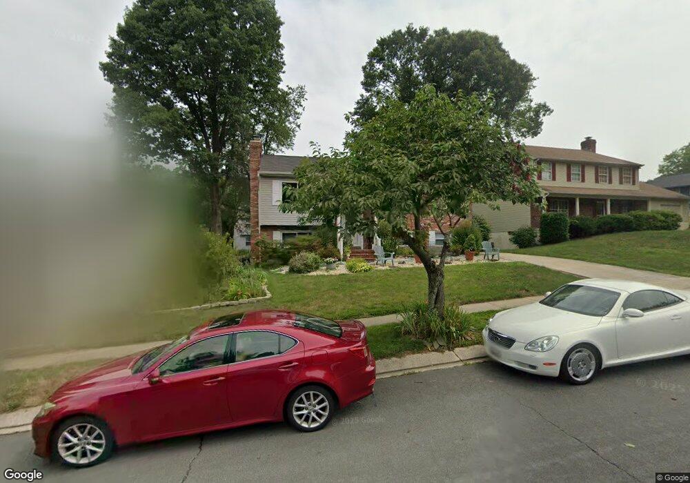
550 Norton Ln Arnold, MD 21012
Estimated Value: $521,667 - $651,000
About This Home
This home is located at 550 Norton Ln, Arnold, MD 21012 and is currently estimated at $599,917, approximately $369 per square foot. 550 Norton Ln is a home located in Anne Arundel County with nearby schools including Broadneck Elementary School, Magothy River Middle School, and Broadneck High School.
Ownership History
We collect this data history from publicly available records. To have your information removed, we recommend requesting removal directly through your county’s website.
Purchase Details
Purchase Details
Purchase Details
Home Values in the Area
Average Home Value in this Area
Purchase History
We collect this data history from publicly available records. To have your information removed, we recommend requesting removal directly through your county’s website.
| Date | Buyer | Sale Price | Title Company |
|---|---|---|---|
| -- | None Available | ||
| -- | None Available | ||
| $148,000 | -- |
Mortgage History
We collect this data history from publicly available records. To have your information removed, we recommend requesting removal directly through your county’s website.
| Date | Status | Borrower | Loan Amount |
|---|---|---|---|
| Closed | -- |
Tax History
We collect this data history from publicly available records. To have your information removed, we recommend requesting removal directly through your county’s website.
| Year | Tax Paid | Tax Assessment Tax Assessment Total Assessment is a certain percentage of the fair market value that is determined by local assessors to be the total taxable value of land and additions on the property. | Land | Improvement |
|---|---|---|---|---|
| 2025 | $3,349 | $450,367 | -- | -- |
| 2024 | $3,349 | $407,300 | $249,000 | $158,300 |
| 2023 | $3,264 | $405,033 | $0 | $0 |
| 2022 | $3,062 | $402,767 | $0 | $0 |
| 2020 | $2,921 | $389,000 | $0 | $0 |
| 2019 | $5,621 | $377,500 | $0 | $0 |
| 2018 | $3,711 | $366,000 | $209,000 | $157,000 |
| 2017 | $2,705 | $358,467 | $0 | $0 |
| 2016 | -- | $350,933 | $0 | $0 |
| 2015 | -- | $343,400 | $0 | $0 |
| 2014 | -- | $343,067 | $0 | $0 |
Map
- 1256 Crowell Ct
- 462 Colonial Ridge Ln
- 1270 Caddie Dr
- 472 Laurel Valley Ct
- 452 Knottwood Ct
- 505 Bay Dale Ct
- 1174 Gator Ct Unit 219
- 306 Grindstone Dr
- 434 College Pkwy
- 553 Bay Dale Ct Unit 31
- 1109 Silverleaf Dr
- 563 Bay Dale Ct
- 504 Greenblades Ct
- 303 Ternwing Dr
- 360 Carronade Way
- 602 Bay Hills Dr
- 323 Ternwing Dr
- 29 Sheridan Rd
- 1203 Hickory Hill Cir
- 1092 Brightleaf Ct
- 552 Norton Ln
- 548 Norton Ln
- 1213 Viking Dr N
- 546 Norton Ln
- 546 Norton Ln Unit CORNER LOT
- 1240 Viking Dr N
- 1219 Viking Dr N
- 1211 Viking Dr N
- 551 Norton Ln
- 549 Norton Ln
- 553 Norton Ln
- 1217 Viking Dr N
- 547 Norton Ln
- 545 Norton Ln
- 555 Norton Ln
- 1207 Viking Dr N
- 542 Norton Ln
- 543 Norton Ln
- 1209 Viking Dr N
- 1215 Viking Dr N
Ask me questions while you tour the home.