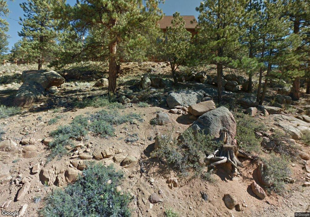
550 Range View Ct Estes Park, CO 80517
Estimated Value: $916,105 - $1,195,000
4
Beds
4
Baths
2,351
Sq Ft
$472/Sq Ft
Est. Value
About This Home
This home is located at 550 Range View Ct, Estes Park, CO 80517 and is currently estimated at $1,110,026, approximately $472 per square foot. 550 Range View Ct is a home located in Larimer County with nearby schools including Estes Park K-5 School, Estes Park Middle School, and Estes Park High School.
Ownership History
Date
Name
Owned For
Owner Type
Purchase Details
Closed on
Sep 28, 2017
Sold by
Preston Shawn and Smith Tiffany
Bought by
Mont Blane Chalet Llc
Current Estimated Value
Purchase Details
Closed on
May 19, 2017
Sold by
Preston Shawn M and Thompson Christine D
Bought by
Preston Shawn and Smith Tiffany
Home Financials for this Owner
Home Financials are based on the most recent Mortgage that was taken out on this home.
Original Mortgage
$556,500
Interest Rate
4.1%
Mortgage Type
New Conventional
Purchase Details
Closed on
Dec 21, 2007
Sold by
Brown Walter Kendall and Brown Diane Todd
Bought by
Preston Shawn M and Thompson Christine D
Home Financials for this Owner
Home Financials are based on the most recent Mortgage that was taken out on this home.
Original Mortgage
$588,000
Interest Rate
6.26%
Mortgage Type
Adjustable Rate Mortgage/ARM
Purchase Details
Closed on
Apr 7, 2003
Sold by
Brown Diane Todd
Bought by
Brown Walter Kendall and Brown Diane Todd
Home Financials for this Owner
Home Financials are based on the most recent Mortgage that was taken out on this home.
Original Mortgage
$304,000
Interest Rate
5.77%
Mortgage Type
Unknown
Purchase Details
Closed on
Mar 31, 2003
Sold by
Brown Walter Kendall and Brown Diane Todd
Bought by
Brown Diane Todd
Home Financials for this Owner
Home Financials are based on the most recent Mortgage that was taken out on this home.
Original Mortgage
$304,000
Interest Rate
5.77%
Mortgage Type
Unknown
Purchase Details
Closed on
Feb 1, 1986
Bought by
Brown Nathalie B
Create a Home Valuation Report for This Property
The Home Valuation Report is an in-depth analysis detailing your home's value as well as a comparison with similar homes in the area
Home Values in the Area
Average Home Value in this Area
Purchase History
| Date | Buyer | Sale Price | Title Company |
|---|---|---|---|
| Mont Blane Chalet Llc | -- | None Available | |
| Preston Shawn | -- | Ravenswood Title Company Llc | |
| Preston Shawn | -- | Ravenswood Title Company Llc | |
| Preston Shawn M | $735,000 | Security Title | |
| Brown Walter Kendall | -- | -- | |
| Brown Diane Todd | -- | -- | |
| Brown Nathalie B | -- | -- |
Source: Public Records
Mortgage History
| Date | Status | Borrower | Loan Amount |
|---|---|---|---|
| Previous Owner | Preston Shawn | $556,500 | |
| Previous Owner | Preston Shawn M | $588,000 | |
| Previous Owner | Brown Diane Todd | $304,000 |
Source: Public Records
Tax History
| Year | Tax Paid | Tax Assessment Tax Assessment Total Assessment is a certain percentage of the fair market value that is determined by local assessors to be the total taxable value of land and additions on the property. | Land | Improvement |
|---|---|---|---|---|
| 2025 | $4,299 | $58,800 | $26,250 | $32,550 |
| 2024 | $4,250 | $64,729 | $28,140 | $36,589 |
| 2022 | $3,935 | $52,119 | $13,831 | $38,288 |
| 2021 | $3,935 | $53,618 | $14,229 | $39,389 |
| 2020 | $3,737 | $50,165 | $14,229 | $35,936 |
| 2019 | $3,709 | $50,165 | $14,229 | $35,936 |
| 2018 | $3,486 | $45,677 | $13,320 | $32,357 |
| 2017 | $3,506 | $45,677 | $13,320 | $32,357 |
| 2016 | $2,819 | $38,049 | $14,726 | $23,323 |
Source: Public Records
Map
Nearby Homes
- 810 Larkspur Rd
- 1401 High Dr
- 725 Upper Larkspur Ln
- 1611 High Dr
- 677 Cedar Ridge Cir Unit 5
- 683 Cedar Ridge Cir Unit 2
- 1565 Highway 66 Unit 31
- 1565 Highway 66 Unit 33
- 1565 Highway 66 Unit 27
- 1565 Highway 66 Unit 49
- 1565 Highway 66 Unit 28
- 1565 Highway 66 Unit 30
- 1263 Broadview
- 658 Cedar Ridge Cir Unit 1
- 710 Tanager Rd
- 685 Riverside Dr
- 1141 Wallace Ln
- 1475 Lower Broadview Rd
- 1945 Tanager Rd
- 6161 36
- 570 Heinz Pkwy
- 1265 Range View Rd
- 0 Range View Rd Unit 637686
- 1311 Range View Rd
- 1271 Range View Rd
- 640 Highview Ct
- 511 Range View Ct
- 1264 Range View Rd
- 650 Heinz Pkwy
- 1270 Range View Rd
- 470 Olympus Rd
- 560 Heinz Pkwy
- 611 Heinz Pkwy
- 1436 Narcissus Dr
- 680 Heinz Pkwy
- 450 Olympus Rd
- 501 Valley View Rd
- 1430 Narcissus Dr
- 660 Highview Ct
- 671 Highview Ct
Your Personal Tour Guide
Ask me questions while you tour the home.