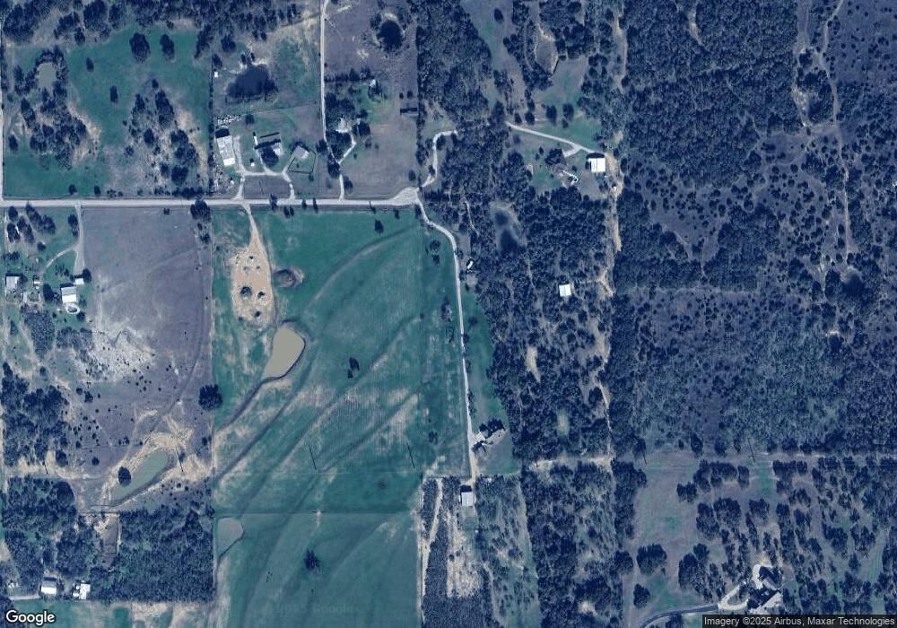
550 Rawhide Trail Weatherford, TX 76088
Estimated Value: $329,000
--
Bed
--
Bath
900
Sq Ft
$366/Sq Ft
Est. Value
About This Home
This home is located at 550 Rawhide Trail, Weatherford, TX 76088 and is currently estimated at $329,000, approximately $365 per square foot. 550 Rawhide Trail is a home located in Parker County with nearby schools including Peaster Elementary School, Peaster Middle School, and Peaster High School.
Ownership History
Date
Name
Owned For
Owner Type
Purchase Details
Closed on
Dec 29, 2003
Sold by
Smith Donald L
Bought by
Gullickson Darrel and Gullickson Belia
Current Estimated Value
Purchase Details
Closed on
Nov 9, 2001
Sold by
Smith G M
Bought by
Gullickson Darrel and Gullickson Belia
Purchase Details
Closed on
Dec 9, 1977
Sold by
J B Davis Land Co Inc
Bought by
Gullickson Darrel and Gullickson Belia
Create a Home Valuation Report for This Property
The Home Valuation Report is an in-depth analysis detailing your home's value as well as a comparison with similar homes in the area
Home Values in the Area
Average Home Value in this Area
Purchase History
| Date | Buyer | Sale Price | Title Company |
|---|---|---|---|
| Gullickson Darrel | -- | -- | |
| Gullickson Darrel | -- | -- | |
| Gullickson Darrel | -- | -- |
Source: Public Records
Tax History Compared to Growth
Tax History
| Year | Tax Paid | Tax Assessment Tax Assessment Total Assessment is a certain percentage of the fair market value that is determined by local assessors to be the total taxable value of land and additions on the property. | Land | Improvement |
|---|---|---|---|---|
| 2025 | $1,568 | $92,250 | $27,590 | $64,660 |
| 2024 | $1,568 | $90,580 | $23,000 | $67,580 |
| 2023 | $1,568 | $90,580 | $23,000 | $67,580 |
| 2022 | $1,072 | $53,750 | $12,450 | $41,300 |
| 2021 | $1,078 | $53,750 | $12,450 | $41,300 |
| 2020 | $909 | $44,300 | $8,190 | $36,110 |
| 2019 | $955 | $44,300 | $8,190 | $36,110 |
| 2018 | $854 | $39,520 | $7,030 | $32,490 |
| 2017 | $850 | $39,520 | $7,030 | $32,490 |
| 2016 | $756 | $35,170 | $5,740 | $29,430 |
| 2015 | $743 | $35,170 | $5,740 | $29,430 |
| 2014 | $675 | $31,480 | $5,740 | $25,740 |
Source: Public Records
Map
Nearby Homes
- TBD Nikki Trill Ln
- 7211 N Fm 113
- TBD Ballard Rd
- 108 Stafford Trail
- 750 Adell Cir
- 412 Adell Cir
- 2025 Liberty Ct
- 1012 Freedom Ct
- 1029 Freedom Ct
- 2091 Farm To Market 52
- 2111 Farm To Market 52
- 2121 Farm To Market 52
- 2071 Farm To Market 52
- Lot 3 Advance
- 6915 Fm 1885
- 2710 Advance Rd
- Lot 2 Advance Rd
- Lot 1 Advance Rd
- 2028 Feather Ln
- 2027 Feather Ln
- 550 Rawhide Trail
- 577 Rawhide Trail
- 501 Rawhide Trail
- 473 Rawhide Trail
- 467 Rawhide Trail
- 400 Cottontail Ln
- 550 N Fm 52
- 320 Rawhide Trail
- 000 Rawhide Trail
- 301 Cottontail Ln
- 200 Rawhide Trail
- 234 Cottontail Ln
- 502 N Fm 52
- 230 Cottontail Ln
- 700 N Fm 52
- 9040 Fm 1885
- 701 N Fm 52
- 501 N Fm 52
- 501 N Fm 52
- 351 Harwell Ln
