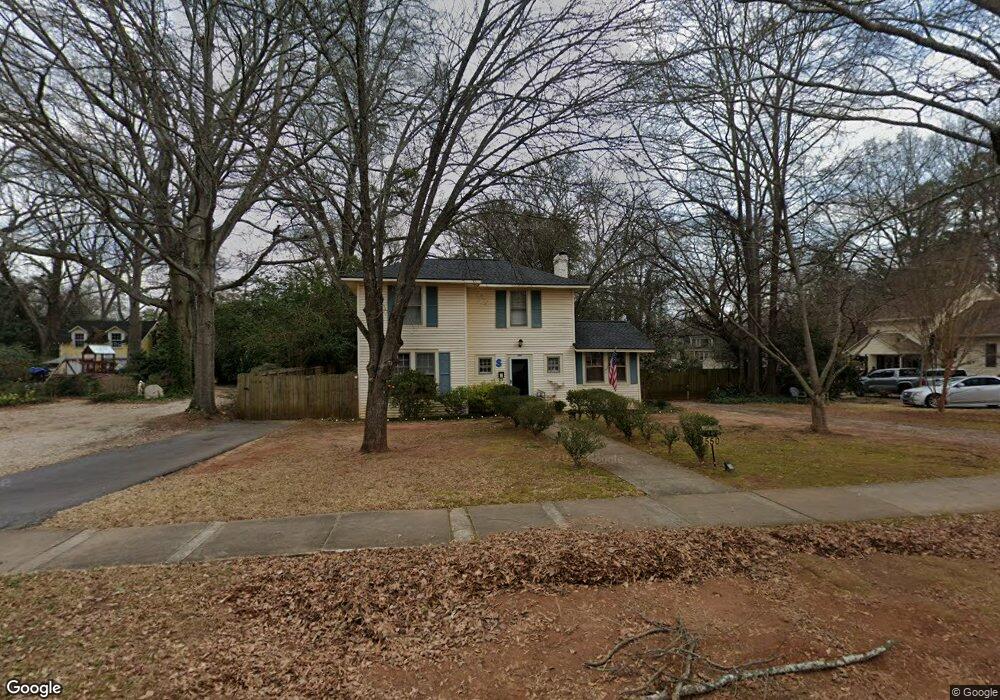
550 S 6th St Griffin, GA 30224
Spalding County NeighborhoodEstimated Value: $214,771 - $276,000
3
Beds
2
Baths
1,778
Sq Ft
$137/Sq Ft
Est. Value
About This Home
This home is located at 550 S 6th St, Griffin, GA 30224 and is currently estimated at $243,193, approximately $136 per square foot. 550 S 6th St is a home located in Spalding County with nearby schools including Futral Road Elementary School, Rehoboth Road Middle School, and Spalding High School.
Ownership History
Date
Name
Owned For
Owner Type
Purchase Details
Closed on
Sep 14, 1988
Sold by
Biles Frank E and Biles Mildred S
Bought by
Smith Scoville S
Current Estimated Value
Purchase Details
Closed on
Dec 19, 1980
Sold by
Biles Mildred S
Bought by
Biles Frank E and Biles Mildred S
Purchase Details
Closed on
May 25, 1979
Sold by
Andrews Emma
Bought by
Biles Frank E and Biles Mildred S
Purchase Details
Closed on
Apr 27, 1978
Sold by
Smith Mrs Minnie W
Bought by
Andrews Emma Etal
Purchase Details
Closed on
May 15, 1972
Sold by
Williamson J D
Bought by
Smith Minnie W
Purchase Details
Closed on
Jul 14, 1965
Sold by
Haynes Haynes P and Haynes Florence M
Bought by
Williamson J D
Purchase Details
Closed on
Jan 14, 1960
Bought by
Haynes Haynes P and Haynes Florence
Create a Home Valuation Report for This Property
The Home Valuation Report is an in-depth analysis detailing your home's value as well as a comparison with similar homes in the area
Home Values in the Area
Average Home Value in this Area
Purchase History
| Date | Buyer | Sale Price | Title Company |
|---|---|---|---|
| Smith Scoville S | $14,900 | -- | |
| Biles Frank E | -- | -- | |
| Biles Frank E | $16,000 | -- | |
| Andrews Emma Etal | -- | -- | |
| Smith Minnie W | $20,100 | -- | |
| Williamson J D | $5,500 | -- | |
| Haynes Haynes P | -- | -- |
Source: Public Records
Tax History
| Year | Tax Paid | Tax Assessment Tax Assessment Total Assessment is a certain percentage of the fair market value that is determined by local assessors to be the total taxable value of land and additions on the property. | Land | Improvement |
|---|---|---|---|---|
| 2025 | $2,225 | $58,268 | $11,000 | $47,268 |
| 2024 | $2,176 | $56,628 | $11,000 | $45,628 |
| 2023 | $2,162 | $55,008 | $11,000 | $44,008 |
| 2022 | $1,957 | $48,976 | $11,000 | $37,976 |
| 2021 | $1,774 | $44,383 | $11,000 | $33,383 |
| 2020 | $1,774 | $44,383 | $11,000 | $33,383 |
| 2019 | $1,806 | $44,383 | $11,000 | $33,383 |
| 2018 | $1,049 | $24,844 | $11,200 | $13,644 |
| 2017 | $1,027 | $24,844 | $11,200 | $13,644 |
| 2016 | $1,043 | $24,844 | $11,200 | $13,644 |
| 2015 | $1,061 | $24,844 | $11,200 | $13,644 |
| 2014 | $9 | $24,844 | $11,200 | $13,644 |
Source: Public Records
Map
Nearby Homes
- 517 S 6th St
- 550 S Hill St
- 226 Tilney Ave
- 372 E College St
- 123 Huntsman Dr
- 319 E College St
- 323 E College St
- 159 Milner Ave
- 310 Terrace St
- 711 Maple Dr
- 411 Terrace St
- 722 Maple Dr
- 402 Meriwether St
- 644 Brook Cir
- 406 E Solomon St
- 102 N Hill St Unit 302
- 102 N Hill St Unit 308
- 102 N Hill St Unit 304
- 102 N Hill St Unit 303
- 816 Woodland Dr
- 564 S 6th St
- 544 S 6th St
- 0 Graefe St Unit 7494782
- 566 S 6th St
- 23 Terracedale Ct
- 25 Terracedale Ct
- 39 Terrace St
- 27 Terracedale Ct
- 535 S 6th St
- 21 Terracedale Ct
- 537 S 6th St
- 568 S 6th St
- 529 S 6th St
- 522 S 6th St
- 29 Terracedale Ct
- 19 Terracedale Ct
- 527 S 6th St
- 567 S 6th St
- 17 Terracedale Ct
- 31 Terracedale Ct
Your Personal Tour Guide
Ask me questions while you tour the home.