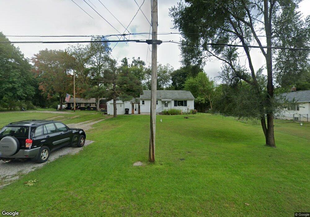
550 Sheridan Rd Jackson, MI 49203
Estimated Value: $105,000 - $184,000
2
Beds
1
Bath
884
Sq Ft
$160/Sq Ft
Est. Value
About This Home
This home is located at 550 Sheridan Rd, Jackson, MI 49203 and is currently estimated at $141,488, approximately $160 per square foot. 550 Sheridan Rd is a home located in Jackson County with nearby schools including East Jackson Elementary School, East Jackson Middle School, and East Jackson High School.
Ownership History
Date
Name
Owned For
Owner Type
Purchase Details
Closed on
Aug 15, 2012
Sold by
Jackson County Treasurer
Bought by
Krzeczkowski Richard A and Krzeczkowski Carol A
Current Estimated Value
Purchase Details
Closed on
Nov 13, 2001
Sold by
Rosecrans A Edward and Rosecrans Cathy S
Bought by
Turner St Richard A and Turner Elizabeth A
Home Financials for this Owner
Home Financials are based on the most recent Mortgage that was taken out on this home.
Original Mortgage
$50,000
Interest Rate
6.62%
Mortgage Type
Purchase Money Mortgage
Create a Home Valuation Report for This Property
The Home Valuation Report is an in-depth analysis detailing your home's value as well as a comparison with similar homes in the area
Home Values in the Area
Average Home Value in this Area
Purchase History
| Date | Buyer | Sale Price | Title Company |
|---|---|---|---|
| Krzeczkowski Richard A | -- | None Available | |
| Turner St Richard A | $42,000 | -- |
Source: Public Records
Mortgage History
| Date | Status | Borrower | Loan Amount |
|---|---|---|---|
| Previous Owner | Turner St Richard A | $50,000 |
Source: Public Records
Tax History
| Year | Tax Paid | Tax Assessment Tax Assessment Total Assessment is a certain percentage of the fair market value that is determined by local assessors to be the total taxable value of land and additions on the property. | Land | Improvement |
|---|---|---|---|---|
| 2025 | $703 | $54,202 | $0 | $0 |
| 2024 | $5 | $47,841 | $0 | $0 |
| 2023 | $513 | $47,508 | $0 | $0 |
| 2022 | $636 | $43,172 | $0 | $0 |
| 2021 | $623 | $39,838 | $0 | $0 |
| 2020 | $617 | $34,058 | $0 | $0 |
| 2019 | $596 | $31,403 | $0 | $0 |
| 2018 | $579 | $27,465 | $1,078 | $26,387 |
| 2017 | $554 | $26,273 | $0 | $0 |
| 2016 | $435 | $25,843 | $25,843 | $0 |
| 2015 | -- | $24,316 | $24,316 | $0 |
| 2014 | -- | $28,622 | $28,622 | $0 |
| 2013 | -- | $28,622 | $28,622 | $0 |
Source: Public Records
Map
Nearby Homes
- 205 S Dettman Rd
- Vl Watts St
- 210 Watts Rd
- 149 Mantle Ave
- 2718 Page Ave
- 153 Mantle Ave
- 1156 Knapp St
- 0 Key St Unit 26001474
- 131 Willow St
- 900 S Roberts St
- 1139 S Dettman Rd
- 111 N Forbes St
- 3975 Mcarthur Rd
- 509 S Gorham St
- 404 Seminole Place
- 106 N Dwight St
- 134 N Gorham St
- 127 Bates St
- 213 N Gorham St
- 1915 E Ganson St
- 530 Sheridan Rd
- 556 Sheridan Rd
- 562 Sheridan Rd
- 539 Sheridan Rd
- 537 Sheridan Rd
- 559 Sheridan Rd
- 515 Sheridan Rd
- 3217 Matthews St
- 3155 Matthews St
- 511 Sheridan Rd
- 570 Sheridan Rd
- 3210 Pearlman Rd
- 505 Sheridan Rd
- 557 Sheridan Rd
- 3218 Pearlman Rd
- 3226 Matthews St
- 3145 Matthews St
- 501 Sheridan Rd
- 437 Lockwood St
- 3141 Matthews St
Your Personal Tour Guide
Ask me questions while you tour the home.