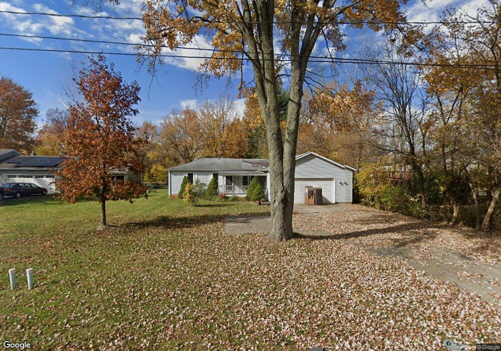
550 Substation Rd Brunswick, OH 44212
Estimated Value: $244,285 - $276,000
3
Beds
6
Baths
1,284
Sq Ft
$202/Sq Ft
Est. Value
About This Home
This home is located at 550 Substation Rd, Brunswick, OH 44212 and is currently estimated at $259,571, approximately $202 per square foot. 550 Substation Rd is a home located in Medina County with nearby schools including Brunswick Memorial Elementary School, Willets Middle School, and Brunswick High School.
Ownership History
Date
Name
Owned For
Owner Type
Purchase Details
Closed on
Jan 5, 2024
Sold by
Medina County Fcu
Bought by
Taylor Nathaniel
Current Estimated Value
Purchase Details
Closed on
Jul 6, 2006
Sold by
Henson Scott and Henson Jeffrey
Bought by
Henson John H
Home Financials for this Owner
Home Financials are based on the most recent Mortgage that was taken out on this home.
Original Mortgage
$140,000
Interest Rate
7.65%
Mortgage Type
Adjustable Rate Mortgage/ARM
Purchase Details
Closed on
Sep 14, 2004
Sold by
Henson John H and Henson Nancy L
Bought by
Henson Scott and Henson Jeffrey
Create a Home Valuation Report for This Property
The Home Valuation Report is an in-depth analysis detailing your home's value as well as a comparison with similar homes in the area
Home Values in the Area
Average Home Value in this Area
Purchase History
| Date | Buyer | Sale Price | Title Company |
|---|---|---|---|
| Taylor Nathaniel | $160,100 | None Listed On Document | |
| Henson John H | -- | -- | |
| Henson Scott | -- | -- |
Source: Public Records
Mortgage History
| Date | Status | Borrower | Loan Amount |
|---|---|---|---|
| Previous Owner | Henson John H | $140,000 |
Source: Public Records
Tax History
| Year | Tax Paid | Tax Assessment Tax Assessment Total Assessment is a certain percentage of the fair market value that is determined by local assessors to be the total taxable value of land and additions on the property. | Land | Improvement |
|---|---|---|---|---|
| 2024 | $3,848 | $60,030 | $18,850 | $41,180 |
| 2023 | $2,304 | $60,030 | $18,850 | $41,180 |
| 2022 | $4,450 | $60,030 | $18,850 | $41,180 |
| 2021 | $3,611 | $46,900 | $14,730 | $32,170 |
| 2020 | $2,111 | $46,900 | $14,730 | $32,170 |
| 2019 | $2,111 | $46,900 | $14,730 | $32,170 |
| 2018 | $1,651 | $37,470 | $11,150 | $26,320 |
| 2017 | $1,654 | $37,470 | $11,150 | $26,320 |
| 2016 | $1,652 | $37,470 | $11,150 | $26,320 |
| 2015 | $1,524 | $35,350 | $10,520 | $24,830 |
| 2014 | $1,521 | $35,350 | $10,520 | $24,830 |
| 2013 | $1,524 | $35,350 | $10,520 | $24,830 |
Source: Public Records
Map
Nearby Homes
- 708 Montgomery Dr
- 5087 Grafton Rd
- 452 Brambleside Dr
- 4751 Ruby Ln
- 4936 Chablis Cir
- 803 Substation Rd
- 298 Substation Rd
- 4580 Grafton Rd
- 5116 Creekside Blvd
- 4571 Elm Ave
- 652 Marsh Way
- 455 Edge Park Ln
- 5221 Spruce Pointe Ln
- 718 Northfork Way
- 4776 Aspen Oval
- 5277 Spruce Pointe Ln
- 991 Sugar Maple Ln
- 5279 Creekside Blvd Unit T34
- 5279 Creekside Blvd Unit V43
- 5398 Lake Forest Reserve Ln
- 560 Substation Rd
- 4872 Grafton Rd
- 570 Substation Rd
- 4890 Grafton Rd
- 4900 Grafton Rd
- 565 Substation Rd
- 582 Substation Rd
- 4885 Grafton Rd
- 4834 Grafton Rd
- 4910 Grafton Rd
- 4899 Grafton Rd
- 596 Substation Rd
- 585 Substation Rd
- 4907 Grafton Rd
- 575 Substation Rd
- 4920 Grafton Rd
- 4917 Grafton Rd
- 4833 Grafton Rd
- 4833 Grafton Rd Unit 4833
- 4835 Grafton Rd
Your Personal Tour Guide
Ask me questions while you tour the home.