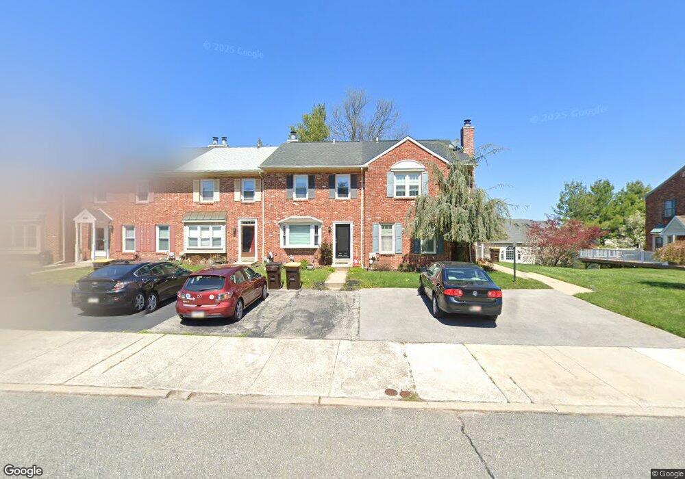
550 Susan Dr King of Prussia, PA 19406
Estimated Value: $391,749 - $408,000
2
Beds
3
Baths
1,520
Sq Ft
$264/Sq Ft
Est. Value
About This Home
This home is located at 550 Susan Dr, King of Prussia, PA 19406 and is currently estimated at $400,937, approximately $263 per square foot. 550 Susan Dr is a home located in Montgomery County with nearby schools including Caley Elementary School, Upper Merion Middle School, and Upper Merion High School.
Ownership History
Date
Name
Owned For
Owner Type
Purchase Details
Closed on
Feb 21, 2011
Sold by
Klukaszewski Joan E
Bought by
Klukaszweski Joan E and Mccallum Bruce
Current Estimated Value
Home Financials for this Owner
Home Financials are based on the most recent Mortgage that was taken out on this home.
Original Mortgage
$134,000
Outstanding Balance
$88,994
Interest Rate
4.17%
Estimated Equity
$311,943
Purchase Details
Closed on
Oct 7, 1996
Sold by
Earle Donald R and Earle Dorothy R
Bought by
Klukaszewski Joan E
Create a Home Valuation Report for This Property
The Home Valuation Report is an in-depth analysis detailing your home's value as well as a comparison with similar homes in the area
Home Values in the Area
Average Home Value in this Area
Purchase History
| Date | Buyer | Sale Price | Title Company |
|---|---|---|---|
| Klukaszweski Joan E | -- | None Available | |
| Klukaszewski Joan E | $133,900 | -- |
Source: Public Records
Mortgage History
| Date | Status | Borrower | Loan Amount |
|---|---|---|---|
| Open | Klukaszweski Joan E | $134,000 |
Source: Public Records
Tax History Compared to Growth
Tax History
| Year | Tax Paid | Tax Assessment Tax Assessment Total Assessment is a certain percentage of the fair market value that is determined by local assessors to be the total taxable value of land and additions on the property. | Land | Improvement |
|---|---|---|---|---|
| 2025 | $3,919 | $127,150 | $19,410 | $107,740 |
| 2024 | $3,919 | $127,150 | $19,410 | $107,740 |
| 2023 | $3,781 | $127,150 | $19,410 | $107,740 |
| 2022 | $3,618 | $127,150 | $19,410 | $107,740 |
| 2021 | $3,506 | $127,150 | $19,410 | $107,740 |
| 2020 | $3,350 | $127,150 | $19,410 | $107,740 |
| 2019 | $3,293 | $127,150 | $19,410 | $107,740 |
| 2018 | $3,294 | $127,150 | $19,410 | $107,740 |
| 2017 | $3,175 | $127,150 | $19,410 | $107,740 |
| 2016 | $3,126 | $127,150 | $19,410 | $107,740 |
| 2015 | $3,010 | $127,150 | $19,410 | $107,740 |
| 2014 | $3,010 | $127,150 | $19,410 | $107,740 |
Source: Public Records
Map
Nearby Homes
- 548 Susan Dr
- 348 Glenn Rose Cir
- 735 Champlain Dr
- 338 Rees Dr
- 243 Jasper Rd
- 2012 Yorktown S
- 143 Riversedge Dr Unit CONDO 143
- 2017 Yorktown S
- 1914 Yorktown S
- 570 Canterbury Rd
- 121 Woodstream Dr Unit CONDO 121
- 709 N Henderson Rd
- 167 Woodstream Dr Unit CONDO 167
- 365 Norris Hall Ln
- 2302 Grant Ct
- 278 Stone Ridge Dr
- 171 Redwood Rd
- 253 Stone Ridge Dr Unit 253
- 245 Chapel Ln Unit 80B
- 251 Chapel Ln Unit 83B