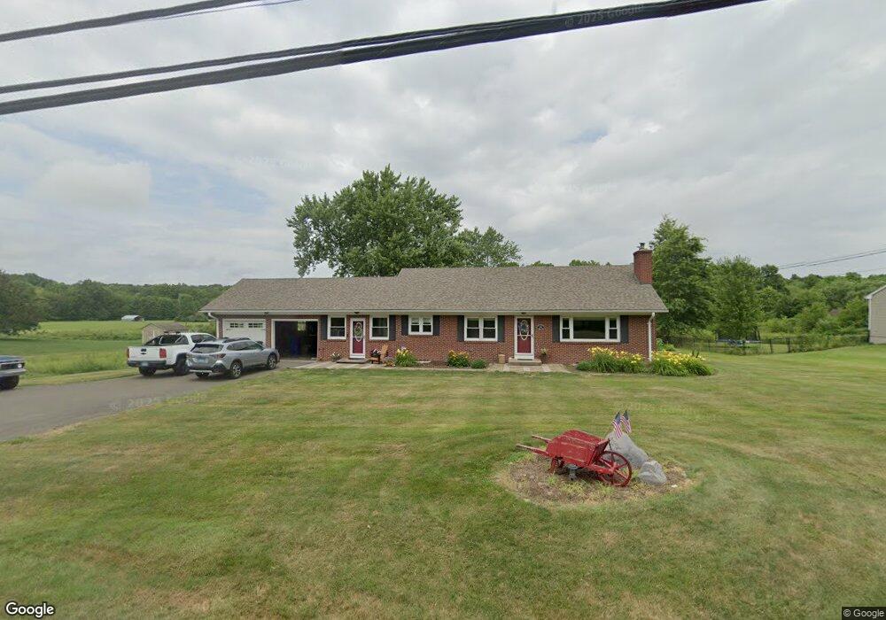
550 Thrall Ave Suffield, CT 06078
Estimated Value: $434,150 - $495,000
2
Beds
2
Baths
1,918
Sq Ft
$244/Sq Ft
Est. Value
About This Home
This home is located at 550 Thrall Ave, Suffield, CT 06078 and is currently estimated at $468,288, approximately $244 per square foot. 550 Thrall Ave is a home located in Hartford County with nearby schools including A. Ward Spaulding School, Mcalister Intermediate School, and Suffield Middle School.
Ownership History
Date
Name
Owned For
Owner Type
Purchase Details
Closed on
Jul 28, 2011
Sold by
Hayward Stephen and Hayward Sandra
Bought by
Dromgold Jack Kenneth and Dromgold Laura A
Current Estimated Value
Home Financials for this Owner
Home Financials are based on the most recent Mortgage that was taken out on this home.
Original Mortgage
$304,735
Outstanding Balance
$210,502
Interest Rate
4.52%
Estimated Equity
$257,786
Purchase Details
Closed on
Mar 31, 2006
Sold by
Gardocki Stanley
Bought by
Hayward Stephen and Hayward Sandra
Home Financials for this Owner
Home Financials are based on the most recent Mortgage that was taken out on this home.
Original Mortgage
$60,000
Interest Rate
6.32%
Create a Home Valuation Report for This Property
The Home Valuation Report is an in-depth analysis detailing your home's value as well as a comparison with similar homes in the area
Home Values in the Area
Average Home Value in this Area
Purchase History
| Date | Buyer | Sale Price | Title Company |
|---|---|---|---|
| Dromgold Jack Kenneth | $442,400 | -- | |
| Hayward Stephen | $250,000 | -- |
Source: Public Records
Mortgage History
| Date | Status | Borrower | Loan Amount |
|---|---|---|---|
| Open | Hayward Stephen | $304,735 | |
| Previous Owner | Hayward Stephen | $134,000 | |
| Previous Owner | Hayward Stephen | $60,000 | |
| Previous Owner | Hayward Stephen | $38,000 |
Source: Public Records
Tax History Compared to Growth
Tax History
| Year | Tax Paid | Tax Assessment Tax Assessment Total Assessment is a certain percentage of the fair market value that is determined by local assessors to be the total taxable value of land and additions on the property. | Land | Improvement |
|---|---|---|---|---|
| 2025 | $5,947 | $254,030 | $59,850 | $194,180 |
| 2024 | $5,749 | $254,030 | $59,850 | $194,180 |
| 2023 | $5,229 | $182,770 | $59,920 | $122,850 |
| 2022 | $5,229 | $182,770 | $59,920 | $122,850 |
| 2021 | $5,235 | $182,770 | $59,920 | $122,850 |
| 2020 | $5,235 | $182,770 | $59,920 | $122,850 |
| 2019 | $5,249 | $182,770 | $59,920 | $122,850 |
| 2018 | $4,887 | $166,670 | $57,260 | $109,410 |
| 2017 | $4,787 | $165,690 | $57,260 | $108,430 |
| 2016 | $4,672 | $165,690 | $57,260 | $108,430 |
| 2015 | $4,603 | $165,690 | $57,260 | $108,430 |
| 2014 | $4,494 | $165,690 | $57,260 | $108,430 |
Source: Public Records
Map
Nearby Homes
- 424 Bridge St
- 779 Bridge St
- 88 Brandywine Ln
- 20 Greendale Dr
- 57 Kildeer Ln
- 3 Green Briar Dr Unit 3
- 29 Primrose Ln
- 21 Pebblestone Cir
- 453 N Main St
- 120 E Bluegill Ln Unit 120
- 41 Huckleberry Hollow
- 300 S Main St
- 0 Stone St S Unit 24039713
- 0 Suffield St Unit 24093452
- 0 Suffield St Unit 24057050
- 0 Boston Neck Rd
- 176 Dusky Ln Unit 176
- 29 Fox Mead
- 45 Douglas St
- 660 East St S