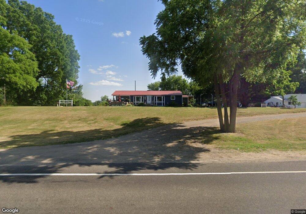
550 W Lake St Sand Lake, MI 49343
Estimated Value: $275,775 - $388,000
--
Bed
--
Bath
1,864
Sq Ft
$174/Sq Ft
Est. Value
About This Home
This home is located at 550 W Lake St, Sand Lake, MI 49343 and is currently estimated at $324,444, approximately $174 per square foot. 550 W Lake St is a home located in Kent County with nearby schools including Tri County Middle School and Tri County Senior High School.
Ownership History
Date
Name
Owned For
Owner Type
Purchase Details
Closed on
Jul 27, 2021
Sold by
Helton Marty
Bought by
Helton Marty and Helton Marcia J
Current Estimated Value
Home Financials for this Owner
Home Financials are based on the most recent Mortgage that was taken out on this home.
Original Mortgage
$216,000
Outstanding Balance
$196,704
Interest Rate
3%
Mortgage Type
New Conventional
Estimated Equity
$127,740
Purchase Details
Closed on
Aug 26, 2011
Sold by
Hendricks Genevieve Mae and Hassen Zahady Sied Trust
Bought by
Helton Marty
Home Financials for this Owner
Home Financials are based on the most recent Mortgage that was taken out on this home.
Original Mortgage
$98,727
Interest Rate
3.87%
Mortgage Type
FHA
Purchase Details
Closed on
Nov 6, 2006
Sold by
Hendricks Genevieve Mae
Bought by
Helton Marty and Helton Marcia
Create a Home Valuation Report for This Property
The Home Valuation Report is an in-depth analysis detailing your home's value as well as a comparison with similar homes in the area
Home Values in the Area
Average Home Value in this Area
Purchase History
| Date | Buyer | Sale Price | Title Company |
|---|---|---|---|
| Helton Marty | -- | None Available | |
| Helton Marty | $90,000 | None Available | |
| Helton Marty | -- | None Available |
Source: Public Records
Mortgage History
| Date | Status | Borrower | Loan Amount |
|---|---|---|---|
| Open | Helton Marty | $216,000 | |
| Previous Owner | Helton Marty | $98,727 |
Source: Public Records
Tax History Compared to Growth
Tax History
| Year | Tax Paid | Tax Assessment Tax Assessment Total Assessment is a certain percentage of the fair market value that is determined by local assessors to be the total taxable value of land and additions on the property. | Land | Improvement |
|---|---|---|---|---|
| 2025 | $770 | $136,400 | $0 | $0 |
| 2024 | $770 | $136,400 | $0 | $0 |
| 2023 | $735 | $115,300 | $0 | $0 |
| 2022 | $1,925 | $108,200 | $0 | $0 |
| 2021 | $2,947 | $95,400 | $0 | $0 |
| 2020 | $1,893 | $96,400 | $0 | $0 |
| 2019 | $1,683 | $81,400 | $0 | $0 |
| 2018 | $2,818 | $74,200 | $0 | $0 |
| 2017 | $3,379 | $67,800 | $0 | $0 |
| 2016 | $1,205 | $62,100 | $0 | $0 |
| 2015 | -- | $62,100 | $0 | $0 |
| 2013 | -- | $54,600 | $0 | $0 |
Source: Public Records
Map
Nearby Homes
- 17876 Ritchie Ave
- 250 George K Dr
- 22681 Scott F Dr Unit 19
- 16450 Ritchie Ave NE
- 22133 Leota Dr
- 280 Pine St NE
- 825 Sand Lake St NE
- 411 E Lake St
- 312 E Maple St NE
- 6665 E Lake St
- 491 Bitter Creek Ln
- 16303 Ritchie Ave NE
- 5501 Egner St NE
- 302 Grand St
- 3598 Woods Dr NE
- 2625 Elmwood Dr
- Dagett Hillis Rd
- 2582 W Bay Dr
- 6767 Wildwood Ct
- 13085 S Englewright Dr
- 600 W Lake St
- 551 W Lake St
- 553 W Lake St
- 17900 Ritchie Ave
- 555 W Lake St
- 17880 Ritchie Ave
- Lot 13 S Ritchie Ave NE
- 0 22 Mile Rd NE Unit M17059169
- 0 22 Mile Rd NE Unit M18014675
- 0 22 Mile Rd NE Unit M18014646
- 0 22 Mile Rd NE Unit M18020229
- 0 22 Mile Rd NE Unit M18049273
- V/L 22 Mile Rd NE
- Parcel C 22 Mile Rd NE
- Parcel B 22 Mile Rd NE
- 5261 22 Mile Rd NE
- 3885 22 Mile Rd NE
- 7307 22 Mile Rd NE
- 0 22 Mile Rd NE Unit PAR D 3554418
- 0 22 Mile Rd NE Unit PAR 4 3538440