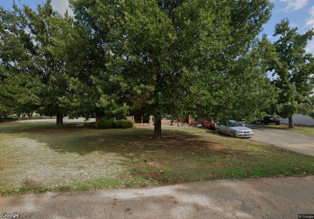
550 Westview Rd Duncan, OK 73533
Estimated Value: $151,789 - $163,000
3
Beds
2
Baths
1,614
Sq Ft
$98/Sq Ft
Est. Value
About This Home
This home is located at 550 Westview Rd, Duncan, OK 73533 and is currently estimated at $157,447, approximately $97 per square foot. 550 Westview Rd is a home located in Stephens County with nearby schools including Mark Twain Elementary School, Duncan Middle School, and Duncan High School.
Ownership History
Date
Name
Owned For
Owner Type
Purchase Details
Closed on
Feb 6, 2013
Sold by
Pannell Jack Sue and Mcfatridge Joann
Bought by
Patton Tony Ray and Cha Mi Hwa
Current Estimated Value
Home Financials for this Owner
Home Financials are based on the most recent Mortgage that was taken out on this home.
Original Mortgage
$89,565
Outstanding Balance
$62,275
Interest Rate
3.37%
Mortgage Type
FHA
Estimated Equity
$95,172
Purchase Details
Closed on
Mar 17, 2011
Sold by
Mcfatridge Joann
Bought by
Pannell Jackie Sue and Antonio San
Create a Home Valuation Report for This Property
The Home Valuation Report is an in-depth analysis detailing your home's value as well as a comparison with similar homes in the area
Home Values in the Area
Average Home Value in this Area
Purchase History
| Date | Buyer | Sale Price | Title Company |
|---|---|---|---|
| Patton Tony Ray | $93,000 | None Available | |
| Pannell Jackie Sue | -- | None Available |
Source: Public Records
Mortgage History
| Date | Status | Borrower | Loan Amount |
|---|---|---|---|
| Open | Patton Tony Ray | $89,565 |
Source: Public Records
Tax History Compared to Growth
Tax History
| Year | Tax Paid | Tax Assessment Tax Assessment Total Assessment is a certain percentage of the fair market value that is determined by local assessors to be the total taxable value of land and additions on the property. | Land | Improvement |
|---|---|---|---|---|
| 2025 | $1,073 | $12,719 | $842 | $11,877 |
| 2024 | $1,032 | $12,113 | $842 | $11,271 |
| 2023 | $1,032 | $12,114 | $842 | $11,272 |
| 2022 | $934 | $11,537 | $842 | $10,695 |
| 2021 | $935 | $10,988 | $842 | $10,146 |
| 2020 | $861 | $9,966 | $842 | $9,124 |
| 2019 | $828 | $9,568 | $842 | $8,726 |
| 2018 | $999 | $11,214 | $842 | $10,372 |
| 2017 | $925 | $11,306 | $841 | $10,465 |
| 2016 | $872 | $10,255 | $827 | $9,428 |
| 2015 | $703 | $9,767 | $819 | $8,948 |
| 2014 | $703 | $9,302 | $811 | $8,491 |
Source: Public Records
Map
Nearby Homes
- TBD S 27th St
- 210 N 31st St
- 106 Emery Rd
- 206 N 28th St
- 0 W Beech Ave
- 1223 S 42nd St
- 2110 W Main St
- 201 N 23rd St
- 209 N 22nd St
- 1244 Carriage Dr
- 0000 W Beech Ave Unit A
- 0001 W Beech Ave Unit B
- 0002 W Beech Ave Unit C
- 2011 W Oak Ave
- 2006 W Oak Ave
- 701 Drexal Place
- 1385 Smith Rd
- 174831 N 2844 Rd
- 2086 N 44th St
- 507 N Alice Dr
- 560 Westview Rd
- 504 Westview Rd
- 570 Westview Rd
- 555 Westview Rd
- 565 Westview Rd
- 575 Westview Rd
- 620 Westview Rd
- 630 Westview Rd
- 510 Westside Dr
- 635 Westview Rd
- 514 Westside Dr
- 744 Westside Dr
- 606 Westside Dr
- 640 Westview Rd
- 610 Westside Dr
- 645 Westview Rd
- 614 Westside Dr
- 618 Westside Dr
- 509 509 Westside Dr
- 679 Westside Dr