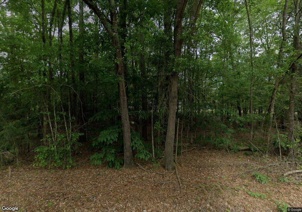
5500 Deadfall Rd Silverstreet, SC 29145
Estimated Value: $117,000 - $271,000
Studio
--
Bath
1,762
Sq Ft
$109/Sq Ft
Est. Value
About This Home
This home is located at 5500 Deadfall Rd, Silverstreet, SC 29145 and is currently estimated at $192,808, approximately $109 per square foot. 5500 Deadfall Rd is a home located in Newberry County with nearby schools including Reuben Elementary School, Newberry Middle School, and Newberry High School.
Ownership History
Date
Name
Owned For
Owner Type
Purchase Details
Closed on
Jan 21, 2020
Sold by
Bowles Jacob H
Bought by
Harris Christine A and Harris Joshua Aaron
Current Estimated Value
Purchase Details
Closed on
Jun 24, 2008
Sold by
Stubblefield Montgomery H and Stubblefield Sibyl E
Bought by
Bowles Jacob H and Bowles Rita S
Home Financials for this Owner
Home Financials are based on the most recent Mortgage that was taken out on this home.
Original Mortgage
$93,100
Interest Rate
5.97%
Create a Home Valuation Report for This Property
The Home Valuation Report is an in-depth analysis detailing your home's value as well as a comparison with similar homes in the area
Purchase History
| Date | Buyer | Sale Price | Title Company |
|---|---|---|---|
| Harris Christine A | $112,000 | -- | |
| Bowles Jacob H | $98,000 | -- |
Source: Public Records
Mortgage History
| Date | Status | Borrower | Loan Amount |
|---|---|---|---|
| Previous Owner | Bowles Jacob H | $93,100 |
Source: Public Records
Tax History Compared to Growth
Tax History
| Year | Tax Paid | Tax Assessment Tax Assessment Total Assessment is a certain percentage of the fair market value that is determined by local assessors to be the total taxable value of land and additions on the property. | Land | Improvement |
|---|---|---|---|---|
| 2025 | $1,177 | $6,426 | $416 | $6,010 |
| 2024 | $1,062 | $5,588 | $436 | $5,152 |
| 2023 | $1,051 | $5,588 | $436 | $5,152 |
| 2022 | $1,040 | $5,588 | $436 | $5,152 |
| 2021 | $1,045 | $5,588 | $436 | $5,152 |
| 2020 | $1,006 | $5,376 | $436 | $4,940 |
| 2019 | $2,974 | $8,064 | $654 | $7,410 |
| 2018 | $2,953 | $7,728 | $654 | $7,074 |
| 2017 | $1,288 | $7,728 | $654 | $7,074 |
| 2016 | $2,945 | $7,728 | $654 | $7,074 |
| 2015 | -- | $0 | $0 | $0 |
| 2014 | -- | $7,728 | $0 | $0 |
| 2013 | -- | $5,152 | $0 | $0 |
| 2012 | -- | $5,070 | $0 | $0 |
Source: Public Records
Map
Nearby Homes
- 368 Woodland Rd
- 0 Rocky Creek Rd Unit 623605
- 0 Old Cherokee Trail Unit 623848
- 216 Cannon St
- 225 Boundary St
- 216 Eugene St
- 243 Bush River Rd
- 460 Drayton St
- 821 Crosson St
- 610 Milligan St
- 630 Milligan St
- 303 Drayton St
- 598 Dixie Dr
- 600 Dixie Dr
- 640 Dixie Dr Unit Boundary Street
- 645 Dixie Dr Unit Havird off Bypass Hw
- 8660 Sc Highway 395
- 415 Gallman St
- 503 Gallman St
- 223 Caldwell St
