5500 Fowler Rd Reading, MI 49274
Estimated Value: $318,000 - $425,790
--
Bed
--
Bath
1,077
Sq Ft
$360/Sq Ft
Est. Value
About This Home
This home is located at 5500 Fowler Rd, Reading, MI 49274 and is currently estimated at $387,597, approximately $359 per square foot. 5500 Fowler Rd is a home with nearby schools including Reynolds Elementary School, Reading High School, and Cooper Amish School.
Ownership History
Date
Name
Owned For
Owner Type
Purchase Details
Closed on
Aug 14, 2024
Sold by
Ladd Steven J and Ladd Sandra L
Bought by
Ladd Steven J and Ladd Sandra L
Current Estimated Value
Purchase Details
Closed on
Oct 2, 1998
Sold by
Ladd Carleen M
Bought by
Ladd Timothy A
Purchase Details
Closed on
Mar 16, 1988
Sold by
Arnold James and Arnold Marcia
Bought by
Ladd Timothy A and Ladd Carleen M
Create a Home Valuation Report for This Property
The Home Valuation Report is an in-depth analysis detailing your home's value as well as a comparison with similar homes in the area
Home Values in the Area
Average Home Value in this Area
Purchase History
| Date | Buyer | Sale Price | Title Company |
|---|---|---|---|
| Ladd Steven J | -- | None Listed On Document | |
| Ladd Timothy A | -- | -- | |
| Ladd Timothy A | $50,900 | -- |
Source: Public Records
Tax History Compared to Growth
Tax History
| Year | Tax Paid | Tax Assessment Tax Assessment Total Assessment is a certain percentage of the fair market value that is determined by local assessors to be the total taxable value of land and additions on the property. | Land | Improvement |
|---|---|---|---|---|
| 2025 | $2,079 | $208,600 | $0 | $0 |
| 2024 | $855 | $178,900 | $0 | $0 |
| 2023 | $815 | $175,200 | $0 | $0 |
| 2022 | $1,827 | $167,700 | $0 | $0 |
| 2021 | $1,838 | $145,500 | $0 | $0 |
| 2020 | $1,763 | $145,600 | $0 | $0 |
| 2019 | $1,727 | $132,600 | $0 | $0 |
| 2018 | $1,342 | $116,200 | $0 | $0 |
| 2017 | $1,237 | $114,700 | $0 | $0 |
| 2016 | $1,226 | $100,400 | $0 | $0 |
| 2015 | $530 | $100,400 | $0 | $0 |
| 2013 | $513 | $97,290 | $0 | $0 |
| 2012 | $501 | $110,590 | $0 | $0 |
Source: Public Records
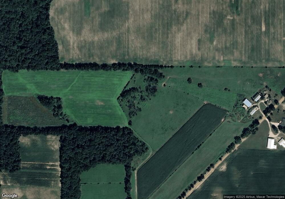
Map
Nearby Homes
- 4421 Carpenter Rd
- 108 Lynn St
- 4427 Carpenter Rd
- 203 E Michigan St
- 5411 Lilac Rd
- 309 S Main St
- 0 W Silver St Unit 25044322
- 5160 Quackenbush Rd
- 7944 Gilmore Rd
- 4164 S Pleasant Dr
- 4260 & 4264 S Lake Wilson Rd
- 4150 S Lake Wilson Rd
- 2520 S Sand Lake Rd
- 3553 Alpine Ct
- 3549 Majestic Ct
- 2201 S Sand Lake Rd
- 7410 Cambria Rd
- 5211 Long Lake Rd
- 7441 Cambria Rd
- 0 Dimmers Rd