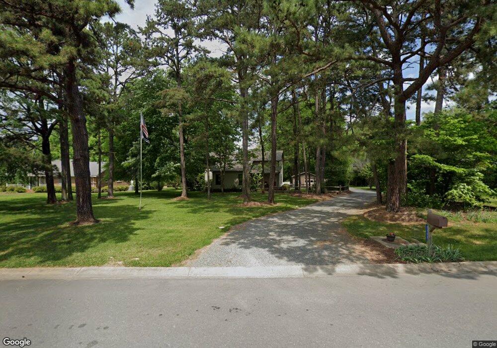
5500 Foxcrest Dr Mint Hill, NC 28227
Estimated Value: $451,108 - $562,000
3
Beds
3
Baths
2,530
Sq Ft
$204/Sq Ft
Est. Value
About This Home
This home is located at 5500 Foxcrest Dr, Mint Hill, NC 28227 and is currently estimated at $517,027, approximately $204 per square foot. 5500 Foxcrest Dr is a home located in Mecklenburg County with nearby schools including Bain Elementary, Mint Hill Middle School, and Independence High.
Ownership History
Date
Name
Owned For
Owner Type
Purchase Details
Closed on
Feb 27, 2003
Sold by
Fryer George B and Fryer Roberta C
Bought by
Brown Joseph W and Brown Sheryl S
Current Estimated Value
Home Financials for this Owner
Home Financials are based on the most recent Mortgage that was taken out on this home.
Original Mortgage
$166,000
Outstanding Balance
$65,456
Interest Rate
4.75%
Mortgage Type
Purchase Money Mortgage
Estimated Equity
$451,571
Create a Home Valuation Report for This Property
The Home Valuation Report is an in-depth analysis detailing your home's value as well as a comparison with similar homes in the area
Home Values in the Area
Average Home Value in this Area
Purchase History
| Date | Buyer | Sale Price | Title Company |
|---|---|---|---|
| Brown Joseph W | $166,000 | -- |
Source: Public Records
Mortgage History
| Date | Status | Borrower | Loan Amount |
|---|---|---|---|
| Open | Brown Joseph W | $166,000 |
Source: Public Records
Tax History
| Year | Tax Paid | Tax Assessment Tax Assessment Total Assessment is a certain percentage of the fair market value that is determined by local assessors to be the total taxable value of land and additions on the property. | Land | Improvement |
|---|---|---|---|---|
| 2025 | $2,814 | $390,400 | $94,500 | $295,900 |
| 2024 | $2,814 | $390,400 | $94,500 | $295,900 |
| 2023 | $2,770 | $390,400 | $94,500 | $295,900 |
| 2022 | $2,204 | $248,200 | $60,000 | $188,200 |
| 2021 | $2,204 | $248,200 | $60,000 | $188,200 |
| 2020 | $2,204 | $248,200 | $60,000 | $188,200 |
| 2019 | $2,198 | $248,200 | $60,000 | $188,200 |
| 2018 | $2,113 | $190,800 | $36,000 | $154,800 |
| 2017 | $2,096 | $190,800 | $36,000 | $154,800 |
| 2016 | $2,092 | $190,800 | $36,000 | $154,800 |
| 2015 | $2,089 | $190,800 | $36,000 | $154,800 |
| 2014 | $2,087 | $190,800 | $36,000 | $154,800 |
Source: Public Records
Map
Nearby Homes
- 5500 Beaver Dam Ln
- 5332 Quail Ridge Dr
- 5900 Foxcrest Dr
- 6565 Robin Hollow Dr
- 7220 Timber Ridge Dr
- 5900 Oakwielde Ct
- 4400 Walter Nelson Rd
- 10305 Misty Moss Ct
- 10116 Mountain Apple Dr
- 6521 Old Magnolia Ln
- 4116 Hoodridge Ln
- 8237 Franklin Trail St
- 8233 Franklin Trail St
- 4027 Mintwood Dr
- 8234 Franklin Trail St
- 8209 Franklin Trail St
- 8137 Franklin Trail St
- 4123 Roe Creek Dr
- 4119 Roe Creek Dr
- 6116 Corkstone Dr
- 5510 Foxcrest Dr
- 5424 Foxcrest Dr
- 5429 Beaver Dam Ln
- 5600 Foxcrest Dr
- 5412 Foxcrest Dr
- 5421 Beaver Dam Ln
- 5501 Foxcrest Dr
- 5441 Beaver Dam Ln
- 5511 Foxcrest Dr
- 5610 Foxcrest Dr
- 5400 Foxcrest Dr
- 5501 Beaver Dam Ln
- 5409 Beaver Dam Ln
- 5051 Quail Ridge Dr
- 5611 Foxcrest Dr
- 5401 Beaver Dam Ln
- 5041 Quail Ridge Dr
- 5620 Foxcrest Dr
- 6108 Foxcrest Dr
- 5513 Beaver Dam Ln
Your Personal Tour Guide
Ask me questions while you tour the home.