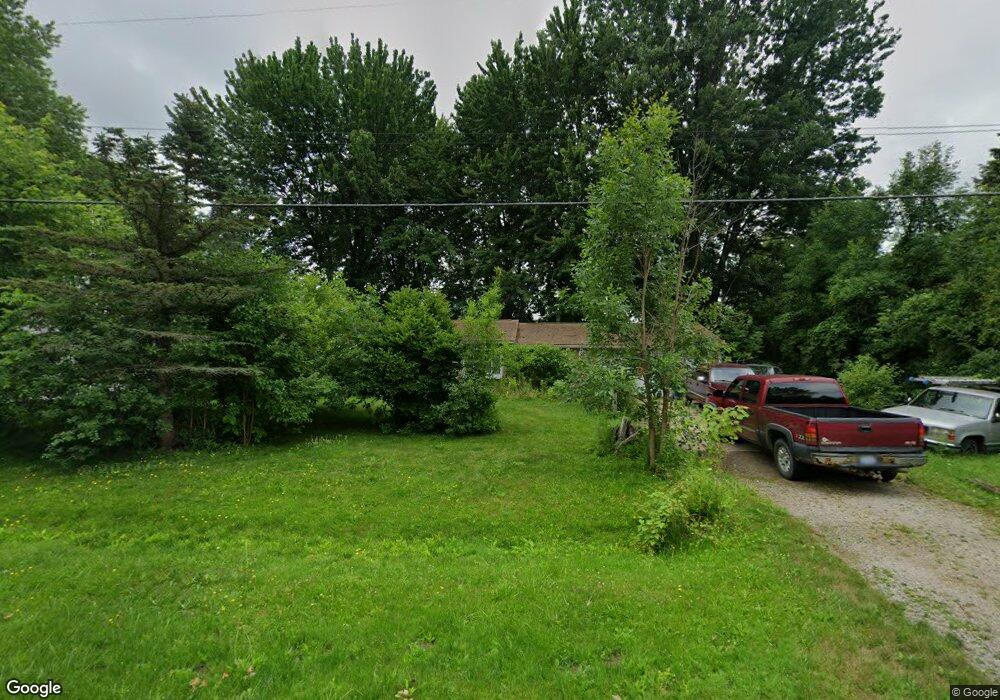
5500 McGrandy Rd Bridgeport, MI 48722
Estimated Value: $150,469 - $164,000
3
Beds
1
Bath
1,200
Sq Ft
$130/Sq Ft
Est. Value
About This Home
This home is located at 5500 McGrandy Rd, Bridgeport, MI 48722 and is currently estimated at $156,117, approximately $130 per square foot. 5500 McGrandy Rd is a home located in Saginaw County with nearby schools including Thomas White School, Martin G. Atkins Elementary School, and Bridgeport High School.
Ownership History
Date
Name
Owned For
Owner Type
Purchase Details
Closed on
Jul 18, 2018
Sold by
Mid America Mortgage Inc
Bought by
Triple C Properties Llc
Current Estimated Value
Purchase Details
Closed on
Apr 20, 2018
Sold by
Saginaw County Of
Bought by
Mid America Mortgage Inc
Purchase Details
Closed on
Dec 5, 2007
Sold by
Weighman Cindy M Nka Stoddard
Bought by
Bremer Tina M
Purchase Details
Closed on
Jan 25, 2000
Sold by
Weighman Robert Scott
Bought by
Weighman Cindy Marie
Purchase Details
Closed on
Jun 13, 1990
Create a Home Valuation Report for This Property
The Home Valuation Report is an in-depth analysis detailing your home's value as well as a comparison with similar homes in the area
Home Values in the Area
Average Home Value in this Area
Purchase History
| Date | Buyer | Sale Price | Title Company |
|---|---|---|---|
| Triple C Properties Llc | $29,500 | -- | |
| Mid America Mortgage Inc | $33,750 | -- | |
| Bremer Tina M | $82,000 | -- | |
| Weighman Cindy Marie | -- | -- | |
| -- | $40,000 | -- |
Source: Public Records
Tax History Compared to Growth
Tax History
| Year | Tax Paid | Tax Assessment Tax Assessment Total Assessment is a certain percentage of the fair market value that is determined by local assessors to be the total taxable value of land and additions on the property. | Land | Improvement |
|---|---|---|---|---|
| 2025 | $2,551 | $51,800 | $0 | $0 |
| 2024 | $445 | $51,800 | $0 | $0 |
| 2023 | $424 | $44,100 | $0 | $0 |
| 2022 | $2,190 | $40,200 | $0 | $0 |
| 2021 | $2,053 | $40,300 | $0 | $0 |
| 2020 | $2,003 | $36,600 | $0 | $0 |
| 2019 | $1,924 | $34,500 | $6,500 | $28,000 |
| 2018 | $295 | $31,500 | $0 | $0 |
| 2017 | $987 | $31,200 | $0 | $0 |
| 2016 | $1,059 | $27,300 | $0 | $0 |
| 2014 | -- | $27,200 | $0 | $21,400 |
| 2013 | -- | $26,900 | $0 | $0 |
Source: Public Records
Map
Nearby Homes
- 5864 McGrandy Rd
- 5885 McGrandy Rd
- 5205 Baker Rd
- 0 VL S Airport Rd
- V/L S Airport Rd
- 6605 Bridgeport Hwy
- 3735 S Portsmouth Rd
- 6412 Tin Lizzy Ln
- Parcel F W Rolling Hills Dr
- Parcel E W Rolling Hills Dr
- Parcel D W Rolling Hills Dr
- Parcel C W Rolling Hills Dr
- Parcel B W Rolling Hills Dr
- 6267 Junction Rd
- 3927 State St
- 3838 Sherman St
- 4333 Riverview Dr
- 4694 King Rd
- 3977 Snowberry Rd
- 5832 Riverview Dr
- 5560 McGrandy Rd
- 5588 McGrandy Rd
- 5510 McGrandy Rd
- 5555 McGrandy Rd
- 5604 McGrandy Rd
- 5604 McGrandy
- 5490 McGrandy Rd
- 5622 McGrandy Rd
- 5644 McGrandy Rd
- 5660 McGrandy Rd
- 5567 McGrandy Rd
- 5680 McGrandy Rd
- 5434 McGrandy Rd
- 5699 McGrandy Rd
- 5698 McGrandy Rd
- 5698 McGrandy Rd
- 5414 McGrandy Rd
- 5716 McGrandy Rd
- 5737 McGrandy Rd
- 5732 McGrandy Rd