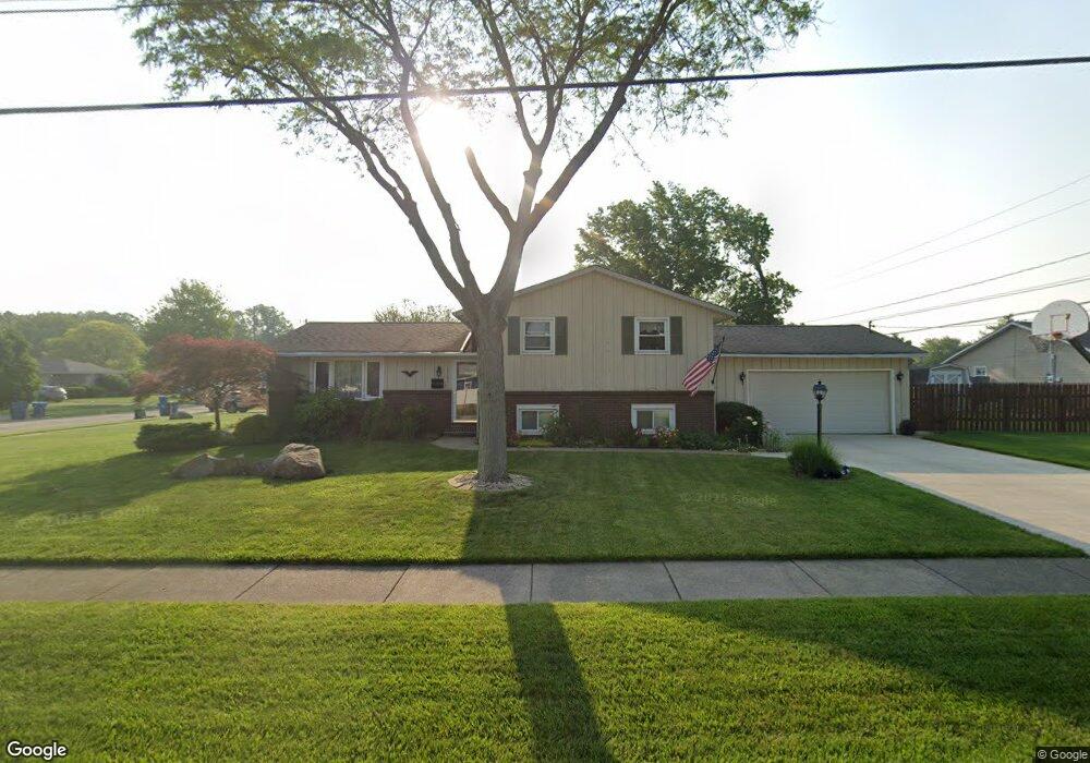
5501 Ashland Ave Lorain, OH 44053
Estimated Value: $223,000 - $251,000
3
Beds
2
Baths
1,688
Sq Ft
$137/Sq Ft
Est. Value
About This Home
This home is located at 5501 Ashland Ave, Lorain, OH 44053 and is currently estimated at $230,472, approximately $136 per square foot. 5501 Ashland Ave is a home located in Lorain County with nearby schools including Toni Wofford Morrison Elementary School, Gen. Johnnie Wilson Middle School, and Lorain High School.
Ownership History
Date
Name
Owned For
Owner Type
Purchase Details
Closed on
Apr 7, 2000
Sold by
Cline Jeffrey L and Linn Jeffrey
Bought by
Cline Diane Marie
Current Estimated Value
Home Financials for this Owner
Home Financials are based on the most recent Mortgage that was taken out on this home.
Original Mortgage
$23,460
Interest Rate
8.24%
Create a Home Valuation Report for This Property
The Home Valuation Report is an in-depth analysis detailing your home's value as well as a comparison with similar homes in the area
Home Values in the Area
Average Home Value in this Area
Purchase History
| Date | Buyer | Sale Price | Title Company |
|---|---|---|---|
| Cline Diane Marie | -- | -- |
Source: Public Records
Mortgage History
| Date | Status | Borrower | Loan Amount |
|---|---|---|---|
| Closed | Cline Diane Marie | $23,460 |
Source: Public Records
Tax History
| Year | Tax Paid | Tax Assessment Tax Assessment Total Assessment is a certain percentage of the fair market value that is determined by local assessors to be the total taxable value of land and additions on the property. | Land | Improvement |
|---|---|---|---|---|
| 2024 | $2,488 | $60,344 | $12,394 | $47,950 |
| 2023 | $2,368 | $45,983 | $14,214 | $31,770 |
| 2022 | $2,347 | $45,983 | $14,214 | $31,770 |
| 2021 | $2,347 | $45,983 | $14,214 | $31,770 |
| 2020 | $2,301 | $39,140 | $12,100 | $27,040 |
| 2019 | $2,287 | $39,140 | $12,100 | $27,040 |
| 2018 | $2,159 | $39,140 | $12,100 | $27,040 |
| 2017 | $2,030 | $32,740 | $11,960 | $20,780 |
| 2016 | $2,014 | $32,740 | $11,960 | $20,780 |
| 2015 | $1,900 | $32,740 | $11,960 | $20,780 |
| 2014 | $2,174 | $37,560 | $13,720 | $23,840 |
| 2013 | $2,158 | $37,560 | $13,720 | $23,840 |
Source: Public Records
Map
Nearby Homes
- 1415 Shaffer Dr
- 1423 Narragansett Blvd
- 1321 Westwood Dr
- 1519 Shaffer Dr
- 4977-4985 Oberlin Ave
- 4859 Oberlin Ave
- 1310 Lindenwood Dr
- 1711 N Nantucket Dr
- 5611 Independence Dr
- 4623 Queen Anne Ave
- 1203 W 44th St
- 4620 Washington Ave
- 1501 Tower Blvd
- 1819 W 42nd St
- 1210 Tower Blvd
- 1727 W 41st St
- 0 Leavitt Rd Unit 5169364
- 4231 Washington Ave
- Pine—End Unit Plan at Quarry Creek
- Ivy Plan at Quarry Creek
- 1331 Narragansett Blvd
- 5519 Ashland Ave
- 5502 Ashland Ave
- 1327 Narragansett Blvd
- 1336 Narragansett Blvd
- 5520 Ashland Ave
- 1403 Narragansett Blvd
- 1321 Narragansett Blvd
- 1328 Narragansett Blvd
- 5423 Ashland Ave
- 5424 Ashland Ave
- 1402 Shaffer Dr
- 1307 Narragansett Blvd
- 1404 Narragansett Blvd
- 5415 Ashland Ave
- 5605 Ashland Ave
- 1408 Shaffer Dr
- 5424 Wanda Dr
- 5416 Ashland Ave
- 1411 Narragansett Blvd
Your Personal Tour Guide
Ask me questions while you tour the home.