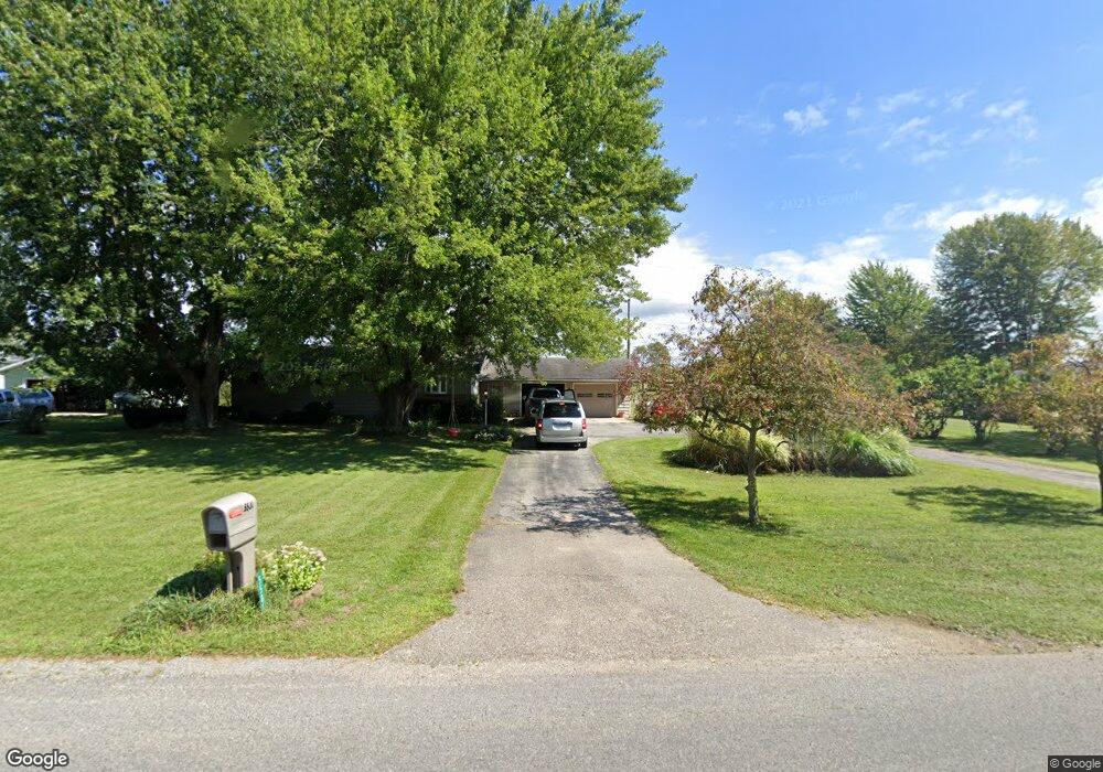
5501 Defield Rd Coloma, MI 49038
Estimated Value: $278,000 - $312,000
3
Beds
2
Baths
1,614
Sq Ft
$185/Sq Ft
Est. Value
About This Home
This home is located at 5501 Defield Rd, Coloma, MI 49038 and is currently estimated at $298,777, approximately $185 per square foot. 5501 Defield Rd is a home located in Berrien County with nearby schools including Coloma Elementary School, Coloma Intermediate School, and Coloma Junior High School.
Ownership History
Date
Name
Owned For
Owner Type
Purchase Details
Closed on
Aug 17, 2011
Sold by
Price Rick B and Price Cynthia
Bought by
Milnickel David A
Current Estimated Value
Home Financials for this Owner
Home Financials are based on the most recent Mortgage that was taken out on this home.
Original Mortgage
$72,000
Outstanding Balance
$50,014
Interest Rate
4.64%
Mortgage Type
New Conventional
Estimated Equity
$248,763
Purchase Details
Closed on
Nov 27, 1978
Purchase Details
Closed on
Oct 1, 1975
Create a Home Valuation Report for This Property
The Home Valuation Report is an in-depth analysis detailing your home's value as well as a comparison with similar homes in the area
Home Values in the Area
Average Home Value in this Area
Purchase History
| Date | Buyer | Sale Price | Title Company |
|---|---|---|---|
| Milnickel David A | $90,000 | Multiple | |
| -- | -- | -- | |
| -- | $17,000 | -- |
Source: Public Records
Mortgage History
| Date | Status | Borrower | Loan Amount |
|---|---|---|---|
| Open | Milnickel David A | $72,000 |
Source: Public Records
Tax History
| Year | Tax Paid | Tax Assessment Tax Assessment Total Assessment is a certain percentage of the fair market value that is determined by local assessors to be the total taxable value of land and additions on the property. | Land | Improvement |
|---|---|---|---|---|
| 2025 | $2,304 | $133,600 | $0 | $0 |
| 2024 | $843 | $119,800 | $0 | $0 |
| 2023 | $803 | $104,700 | $0 | $0 |
| 2022 | $765 | $91,500 | $0 | $0 |
| 2021 | $2,145 | $86,300 | $10,700 | $75,600 |
| 2020 | $2,136 | $80,200 | $0 | $0 |
| 2019 | $2,157 | $70,900 | $10,700 | $60,200 |
| 2018 | $2,083 | $70,900 | $0 | $0 |
| 2017 | $2,068 | $70,900 | $0 | $0 |
| 2016 | $2,029 | $70,900 | $0 | $0 |
| 2015 | $2,020 | $67,300 | $0 | $0 |
| 2014 | $667 | $61,300 | $0 | $0 |
Source: Public Records
Map
Nearby Homes
- 5682 Topanga Dr
- 0 Becht Rd
- 6229 N Becht Rd
- 5081 Woodward
- 0 Sycamore Bluff
- 4801 Wil-O-paw Dr
- 0 Wilson St
- 7030 N Maple Dr
- 6950 Shore Dr
- 6235 Hilda St
- 6754 Paw Ave
- 4568 Wil-O-paw Dr
- 2916 Pershing Dr
- 7039 Curtis Dr
- 189 Banks St
- 3190/3198 Prospect St
- 5568 Paw Lake Rd
- 6341 Johnson Rd
- 4874 Knoll Ct
- 4862 Knoll Ct
- 5515 Defield Rd
- 5475 Defield Rd
- 5535 Defield Rd
- 5461 Defield Rd
- 5539 Defield Rd
- 5450 Defield Rd
- 5455 Defield Rd
- 5534 Defield Rd
- 5510 Defield Rd
- 5547 Defield Rd
- 5435 Defield Rd
- 5446 Defield Rd
- 5421 Defield Rd
- 5554 Defield Rd
- 5419 Defield Rd
- 5389 Defield Rd
- 5355 Defield Rd
- 5329 Defield Rd
- 5309 Defield Rd
- 5724 Defield Rd
Your Personal Tour Guide
Ask me questions while you tour the home.