5501 Ga Highway 142 Shady Dale, GA 31085
Jasper County NeighborhoodEstimated Value: $541,000 - $1,217,862
4
Beds
4
Baths
4,535
Sq Ft
$194/Sq Ft
Est. Value
About This Home
This home is located at 5501 Ga Highway 142, Shady Dale, GA 31085 and is currently estimated at $877,954, approximately $193 per square foot. 5501 Ga Highway 142 is a home located in Jasper County with nearby schools including Jasper County Primary School, Washington Park Elementary School, and Jasper County Middle School.
Ownership History
Date
Name
Owned For
Owner Type
Purchase Details
Closed on
Sep 5, 2017
Sold by
Chester Robert W
Bought by
Forrest Charles D and Lucero Forrest Jennica T
Current Estimated Value
Home Financials for this Owner
Home Financials are based on the most recent Mortgage that was taken out on this home.
Original Mortgage
$424,100
Outstanding Balance
$354,154
Interest Rate
3.9%
Mortgage Type
New Conventional
Estimated Equity
$523,800
Purchase Details
Closed on
Sep 9, 2013
Sold by
Dyer Ann P
Bought by
Chester Stacy Ann
Purchase Details
Closed on
Jan 17, 2013
Sold by
Dyer Ann P
Bought by
Jasper County Land Llc
Purchase Details
Closed on
Jan 24, 1997
Sold by
Morrell Ammy Lynn
Bought by
Chester Stacy Ann
Create a Home Valuation Report for This Property
The Home Valuation Report is an in-depth analysis detailing your home's value as well as a comparison with similar homes in the area
Home Values in the Area
Average Home Value in this Area
Purchase History
| Date | Buyer | Sale Price | Title Company |
|---|---|---|---|
| Forrest Charles D | $576,000 | -- | |
| Chester Stacy Ann | -- | -- | |
| Jasper County Land Llc | $186,000 | -- | |
| Chester Stacy Ann | -- | -- |
Source: Public Records
Mortgage History
| Date | Status | Borrower | Loan Amount |
|---|---|---|---|
| Open | Forrest Charles D | $424,100 |
Source: Public Records
Tax History Compared to Growth
Tax History
| Year | Tax Paid | Tax Assessment Tax Assessment Total Assessment is a certain percentage of the fair market value that is determined by local assessors to be the total taxable value of land and additions on the property. | Land | Improvement |
|---|---|---|---|---|
| 2024 | $6,288 | $370,840 | $142,680 | $228,160 |
| 2023 | $5,597 | $344,120 | $142,680 | $201,440 |
| 2022 | $5,414 | $306,160 | $126,760 | $179,400 |
| 2021 | $5,009 | $248,840 | $102,640 | $146,200 |
| 2020 | $4,962 | $241,920 | $103,280 | $138,640 |
| 2019 | $4,894 | $229,600 | $98,560 | $131,040 |
| 2018 | $4,690 | $222,000 | $98,560 | $123,440 |
| 2017 | $257 | $62,560 | $62,560 | $0 |
| 2016 | $250 | $62,560 | $62,560 | $0 |
| 2015 | $256 | $57,920 | $57,920 | $0 |
| 2014 | $249 | $57,920 | $57,920 | $0 |
Source: Public Records
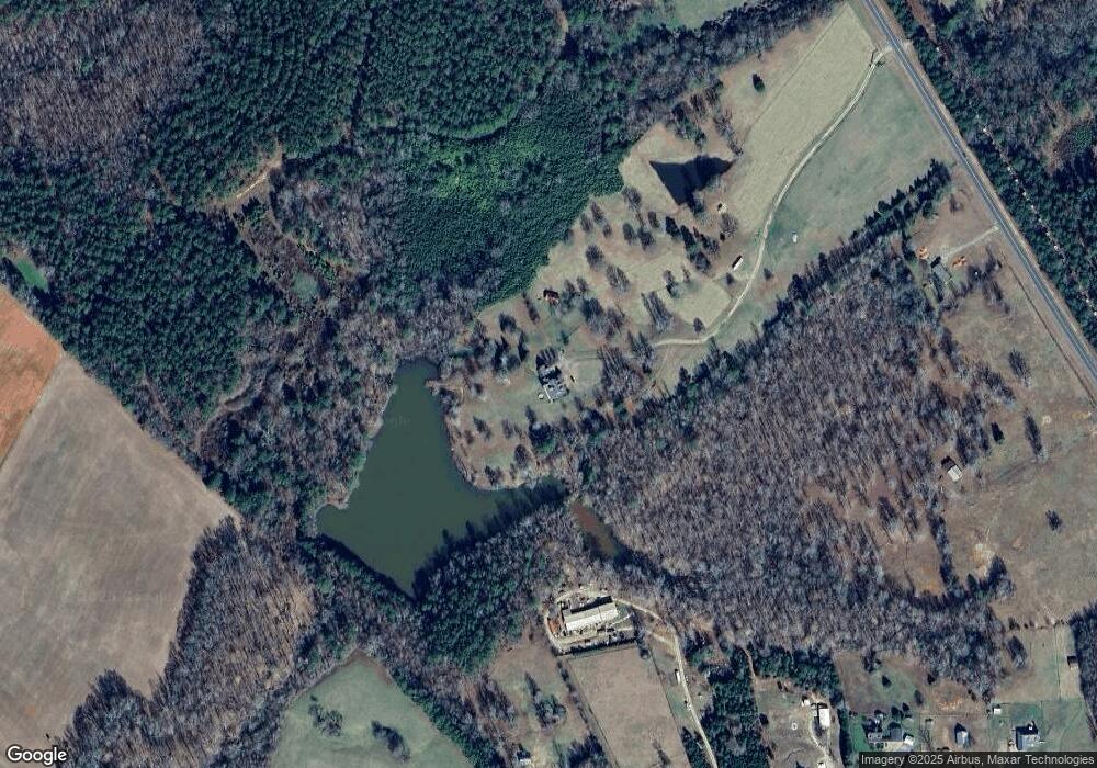
Map
Nearby Homes
- 521 Kline Rd
- 22631 N Main St
- 630 S Railroad St
- 0 Post Rd Unit TRACT C 43.44
- 0 Wyatt Rd Unit 10602326
- 0 Jeffries Rd Unit TRACT A 32.55
- 105 Magnolia Dr
- 2941 Little River Rd
- 1111 Rocky Creek Rd
- 1225 Pitts Chapel E
- 0 Rocky Creek Rd
- LOT 18 Shady Farm Rd
- 637 Lakeview Dr
- 1828 Pitts Chapel Rd
- 377 Lakeview Dr
- 172 Lakeview Dr
- 1041 River Farm Way
- 0 Aikenton Rd Unit 10602329
- 1981 A Broughton Rd
- 2733 Pitts Chapel Rd
- 5501 Ga Highway 142
- 5501 Ga Highway 142
- 5501 Ga Highway 142
- 5501 Ga Highway 142
- 5501 Ga Highway 142
- 5501 Ga Highway 142
- 1649 Davidson Rd
- 0 Hwy 142 Tract #B2 Unit 10013426
- 0 Hwy 142 Tract # B3 Unit 10013424
- 0 Hwy 142 B1 Unit 10013431
- 0 Hwy 142 Tract #B2
- 0 Hwy 142 Tract # B3
- 1595 Davidson Rd
- 5585 Ga Highway 142
- 1699 Davidson Rd
- 1711 Davidson Rd
- 1611 Davidson Rd
- 112 Daisy Ln
- 5500 Ga Highway 142
- 5500 Ga Highway 142