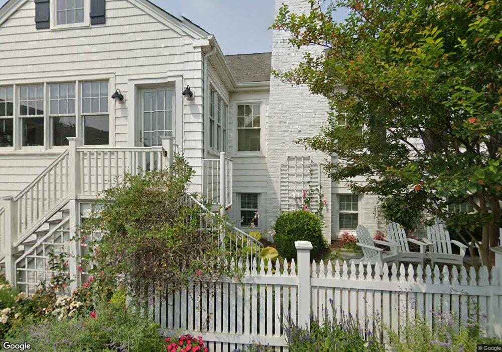
5501 Ocean Front Ave Virginia Beach, VA 23451
North End NeighborhoodEstimated Value: $1,226,000 - $1,751,000
3
Beds
4
Baths
2,162
Sq Ft
$663/Sq Ft
Est. Value
About This Home
This home is located at 5501 Ocean Front Ave, Virginia Beach, VA 23451 and is currently estimated at $1,432,746, approximately $662 per square foot. 5501 Ocean Front Ave is a home located in Virginia Beach City with nearby schools including Linkhorn Park Elementary School, Virginia Beach Middle School, and Frank W. Cox High School.
Ownership History
Date
Name
Owned For
Owner Type
Purchase Details
Closed on
Sep 13, 2019
Sold by
Wiltshire Louise Vincent
Bought by
Morchower Michael Todd and The Michael Todd Morchower Rev
Current Estimated Value
Purchase Details
Closed on
Apr 12, 2013
Sold by
Gayle John F
Bought by
Wiltshire Louise
Create a Home Valuation Report for This Property
The Home Valuation Report is an in-depth analysis detailing your home's value as well as a comparison with similar homes in the area
Home Values in the Area
Average Home Value in this Area
Purchase History
| Date | Buyer | Sale Price | Title Company |
|---|---|---|---|
| Morchower Michael Todd | $1,150,000 | Attorney | |
| Wiltshire Louise | $715,000 | -- |
Source: Public Records
Tax History Compared to Growth
Tax History
| Year | Tax Paid | Tax Assessment Tax Assessment Total Assessment is a certain percentage of the fair market value that is determined by local assessors to be the total taxable value of land and additions on the property. | Land | Improvement |
|---|---|---|---|---|
| 2025 | $13,296 | $1,394,900 | $1,218,800 | $176,100 |
| 2024 | $13,296 | $1,370,700 | $1,218,800 | $151,900 |
| 2023 | $9,881 | $998,100 | $857,900 | $140,200 |
| 2022 | $8,895 | $898,500 | $745,400 | $153,100 |
| 2021 | $8,326 | $841,000 | $703,100 | $137,900 |
| 2020 | $8,415 | $827,000 | $703,100 | $123,900 |
| 2019 | $6,546 | $569,900 | $478,100 | $91,800 |
| 2018 | $5,713 | $569,900 | $478,100 | $91,800 |
| 2017 | $6,232 | $621,600 | $529,800 | $91,800 |
| 2016 | $6,803 | $687,200 | $595,400 | $91,800 |
| 2015 | $6,094 | $615,600 | $539,100 | $76,500 |
| 2014 | $5,310 | $603,800 | $539,100 | $64,700 |
Source: Public Records
Map
Nearby Homes
- 120 55th 1 2 St
- 210 56th St
- 216 56th St Unit A
- 113 53rd St Unit B
- 113 53rd St Unit A
- 302 55th St Unit B
- 209 60th St Unit B
- 400 Discovery Rd
- 206 50th St Unit C
- 436 Gosnold Ct
- 432 Gosnold Ct
- 300 Bay Colony Dr
- 219 64th St
- 228 66th St
- 125 67th St
- 506 Cavalier Dr
- 4129 Fitzgerald Way
- 6804 Ocean Front Ave Unit A
- 6904 Ocean Front Ave
- 4044 Harlow St
- 107 55th St
- 109 55th St
- 5505 Ocean Front Ave
- 111 55th St
- 113 55th St
- 113 55th St Unit B
- 113 55th St Unit A
- 5500 Ocean Front Ave
- 113B 55th 1 2 St Unit B
- 117 55th 1 2 St
- 108 55th St
- 5502 Ocean Front Ave
- 5502 Ocean Front Ave
- 5502 Ocean Front Ave Unit A
- 5502 Ocean Front Ave Unit B
- 117 55th St Unit B
- 117 55th St Unit A
- 5504 Ocean Front Ave
- 100 56th St
- 110 55th St Unit B