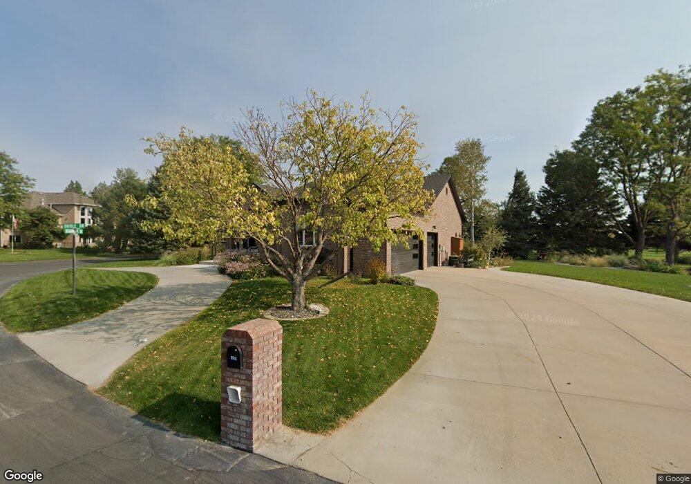
5501 Oriole Dr Scottsbluff, NE 69361
Estimated Value: $456,000 - $561,000
1
Bed
3
Baths
1,900
Sq Ft
$266/Sq Ft
Est. Value
About This Home
This home is located at 5501 Oriole Dr, Scottsbluff, NE 69361 and is currently estimated at $504,701, approximately $265 per square foot. 5501 Oriole Dr is a home located in Scotts Bluff County with nearby schools including Westmoor Elementary School, Bluffs Middle School, and Scottsbluff Senior High School.
Ownership History
Date
Name
Owned For
Owner Type
Purchase Details
Closed on
Nov 13, 2024
Sold by
Dedic Larry D and Dedic Linda J
Bought by
Dedic Family Irrevocable Trust and Dedic
Current Estimated Value
Purchase Details
Closed on
Mar 20, 2007
Sold by
Schuldies Roy and Schuldies Karen
Bought by
Dedic Linda J and Dedic Larry D
Home Financials for this Owner
Home Financials are based on the most recent Mortgage that was taken out on this home.
Original Mortgage
$300,000
Interest Rate
6.3%
Mortgage Type
Future Advance Clause Open End Mortgage
Create a Home Valuation Report for This Property
The Home Valuation Report is an in-depth analysis detailing your home's value as well as a comparison with similar homes in the area
Home Values in the Area
Average Home Value in this Area
Purchase History
| Date | Buyer | Sale Price | Title Company |
|---|---|---|---|
| Dedic Family Irrevocable Trust | -- | None Listed On Document | |
| Dedic Family Irrevocable Trust | -- | None Listed On Document | |
| Dedic Linda J | $238,000 | -- |
Source: Public Records
Mortgage History
| Date | Status | Borrower | Loan Amount |
|---|---|---|---|
| Previous Owner | Dedic Linda J | $300,000 |
Source: Public Records
Tax History
| Year | Tax Paid | Tax Assessment Tax Assessment Total Assessment is a certain percentage of the fair market value that is determined by local assessors to be the total taxable value of land and additions on the property. | Land | Improvement |
|---|---|---|---|---|
| 2025 | $5,359 | $391,715 | $47,100 | $344,615 |
| 2024 | $5,428 | $391,715 | $47,100 | $344,615 |
| 2023 | $7,742 | $357,153 | $44,578 | $312,575 |
| 2022 | $7,742 | $357,153 | $44,578 | $312,575 |
| 2021 | $7,636 | $348,049 | $44,578 | $303,471 |
| 2020 | $7,155 | $322,992 | $44,578 | $278,414 |
| 2019 | $7,105 | $322,695 | $44,281 | $278,414 |
| 2018 | $7,110 | $322,695 | $44,281 | $278,414 |
| 2017 | $7,103 | $322,695 | $44,281 | $278,414 |
| 2016 | $7,100 | $322,695 | $44,281 | $278,414 |
| 2015 | $7,083 | $322,695 | $44,281 | $278,414 |
| 2014 | $6,618 | $322,695 | $44,281 | $278,414 |
| 2012 | -- | $314,586 | $44,281 | $270,305 |
Source: Public Records
Map
Nearby Homes
- 910 Mockingbird Dr
- 2307 W 42nd St Unit 46
- 4501 Cottonwood Ave
- 2817 W 42nd St
- 3918 Avenue D
- 501 W 38th St
- 1012 W 36th St
- TBD W 36th St
- 0 W 36th St Unit 20254154
- 16 Bluestem
- 60260 Highway 71
- 721 W 33rd St
- 410 Sandra Ct
- 3405 Ross Ave
- 1010 W 29th St
- 2809 Avenue I
- 1011 W 27th St
- 90208 County Road 19
- TBD U S Highway 26
- Lot 1 31st St
- 5415 Oriole Dr
- 5502 Oriole Dr
- 5506 Oriole Dr
- 5422 Oriole Dr
- 5512 Oriole Dr
- 5418 Oriole Dr
- 1510 Mockingbird Dr
- 5401 Oriole Dr
- 5516 Oriole Dr
- 5410 Oriole Dr
- 5524 Oriole Dr
- 5520 Oriole Dr
- 1502 Mockingbird Dr
- 5321 Oriole Dr
- 5402 Oriole Dr
- 5311 Oriole Dr
- 1418 Mockingbird Dr
- 1417 Meadowlark Dr
- 5301 Oriole Dr
- 1410 Mockingbird Dr
Your Personal Tour Guide
Ask me questions while you tour the home.