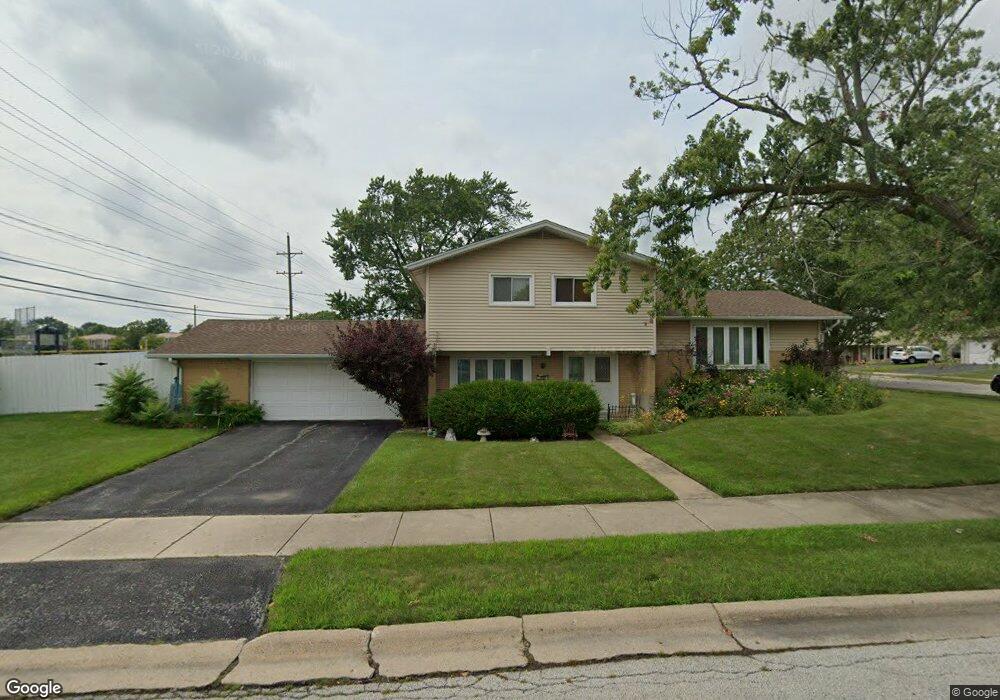
5501 Vine St Oak Forest, IL 60452
Estimated Value: $293,576 - $308,000
3
Beds
1
Bath
1,153
Sq Ft
$258/Sq Ft
Est. Value
About This Home
This home is located at 5501 Vine St, Oak Forest, IL 60452 and is currently estimated at $297,894, approximately $258 per square foot. 5501 Vine St is a home located in Cook County with nearby schools including Kerkstra Elementary School, Jack Hille Middle School, and Oak Forest High School.
Ownership History
Date
Name
Owned For
Owner Type
Purchase Details
Closed on
Aug 10, 2011
Sold by
Zumwalt Emmett
Bought by
Santor Mary
Current Estimated Value
Purchase Details
Closed on
Aug 9, 2006
Sold by
Chicago Title Land Trust Co
Bought by
Santor Mary and Zumwalt Emmett
Home Financials for this Owner
Home Financials are based on the most recent Mortgage that was taken out on this home.
Original Mortgage
$190,000
Interest Rate
6.78%
Mortgage Type
Purchase Money Mortgage
Create a Home Valuation Report for This Property
The Home Valuation Report is an in-depth analysis detailing your home's value as well as a comparison with similar homes in the area
Home Values in the Area
Average Home Value in this Area
Purchase History
| Date | Buyer | Sale Price | Title Company |
|---|---|---|---|
| Santor Mary | -- | Fidelity Natl Title Ins Co | |
| Santor Mary | $200,000 | Ticor Title |
Source: Public Records
Mortgage History
| Date | Status | Borrower | Loan Amount |
|---|---|---|---|
| Previous Owner | Santor Mary | $190,000 |
Source: Public Records
Tax History Compared to Growth
Tax History
| Year | Tax Paid | Tax Assessment Tax Assessment Total Assessment is a certain percentage of the fair market value that is determined by local assessors to be the total taxable value of land and additions on the property. | Land | Improvement |
|---|---|---|---|---|
| 2024 | $6,159 | $23,000 | $3,780 | $19,220 |
| 2023 | $5,530 | $23,000 | $3,780 | $19,220 |
| 2022 | $5,530 | $16,593 | $3,360 | $13,233 |
| 2021 | $5,430 | $16,592 | $3,360 | $13,232 |
| 2020 | $5,311 | $16,592 | $3,360 | $13,232 |
| 2019 | $5,925 | $18,140 | $3,150 | $14,990 |
| 2018 | $5,823 | $18,140 | $3,150 | $14,990 |
| 2017 | $5,866 | $18,140 | $3,150 | $14,990 |
| 2016 | $4,834 | $14,262 | $2,940 | $11,322 |
| 2015 | $4,668 | $14,262 | $2,940 | $11,322 |
| 2014 | $4,952 | $15,285 | $2,940 | $12,345 |
| 2013 | $4,772 | $16,300 | $2,940 | $13,360 |
Source: Public Records
Map
Nearby Homes
- 15027 Park Ave
- 15001 Park Ave
- 15100 Crescent Green Dr
- 16207 Long Ave
- 5340 Crescent Ln Unit C
- 5568 Natalie Dr
- 14825 Parkside Ave
- 5341 Crescent Ln Unit D
- 15143 Geoffrey Rd
- 5218 Laramie Ct
- 5430 Grange Ave
- 5208 Woodland Dr Unit A
- 15251 Colina Ave
- 5756 Lancaster Dr
- 5237 Diamond Dr Unit B
- 14913 Sheila Ct
- 14525 Walden Ct Unit PH4
- 14511 Central Ct Unit M2
- 14515 Central Ct Unit M3
- 14515 Central Ct Unit G3