5502 N Wagon Trail Rd North Platte, NE 69101
Estimated Value: $188,000 - $283,654
--
Bed
2
Baths
1,918
Sq Ft
$127/Sq Ft
Est. Value
About This Home
This home is located at 5502 N Wagon Trail Rd, North Platte, NE 69101 and is currently estimated at $243,664, approximately $127 per square foot. 5502 N Wagon Trail Rd is a home located in Lincoln County with nearby schools including Hershey High School.
Ownership History
Date
Name
Owned For
Owner Type
Purchase Details
Closed on
Apr 1, 2023
Sold by
Halley Janice L
Bought by
Colv Ii Llc
Current Estimated Value
Home Financials for this Owner
Home Financials are based on the most recent Mortgage that was taken out on this home.
Original Mortgage
$126,000
Outstanding Balance
$99,934
Interest Rate
6.5%
Mortgage Type
Seller Take Back
Estimated Equity
$143,730
Purchase Details
Closed on
May 7, 2021
Sold by
Halley George L and Halley Janice L
Bought by
Colvin Donald L and Colvin Marcia J
Create a Home Valuation Report for This Property
The Home Valuation Report is an in-depth analysis detailing your home's value as well as a comparison with similar homes in the area
Home Values in the Area
Average Home Value in this Area
Purchase History
| Date | Buyer | Sale Price | Title Company |
|---|---|---|---|
| Colv Ii Llc | $180,000 | None Listed On Document | |
| Colvin Donald L | $405,000 | Scott Abstract Company |
Source: Public Records
Mortgage History
| Date | Status | Borrower | Loan Amount |
|---|---|---|---|
| Open | Colv Ii Llc | $126,000 | |
| Closed | Colvin Donald L | $0 |
Source: Public Records
Tax History Compared to Growth
Tax History
| Year | Tax Paid | Tax Assessment Tax Assessment Total Assessment is a certain percentage of the fair market value that is determined by local assessors to be the total taxable value of land and additions on the property. | Land | Improvement |
|---|---|---|---|---|
| 2024 | $2,210 | $202,286 | $40,390 | $161,896 |
| 2023 | $2,743 | $187,138 | $40,390 | $146,748 |
| 2022 | $2,662 | $163,646 | $40,390 | $123,256 |
| 2021 | $1,021 | $160,512 | $37,256 | $123,256 |
| 2020 | $6,054 | $509,137 | $365,642 | $143,495 |
| 2019 | $6,491 | $507,061 | $363,566 | $143,495 |
| 2018 | $5,795 | $507,060 | $363,565 | $143,495 |
| 2017 | $6,100 | $507,060 | $363,565 | $143,495 |
| 2016 | $5,866 | $489,125 | $363,625 | $125,500 |
| 2014 | $4,684 | $342,025 | $225,570 | $116,455 |
Source: Public Records
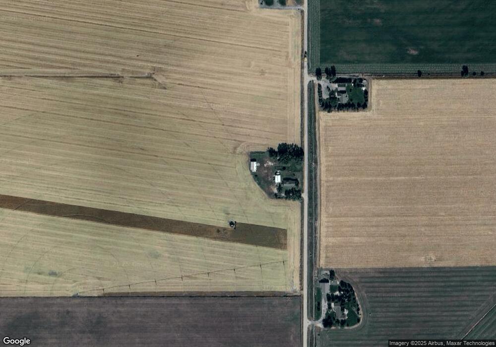
Map
Nearby Homes
- 14410 W Wildlife Rd
- 4975 W A St
- 2916 W 21st St
- 2504 W 22nd St
- 98-92 Preston Ct
- 86-84 Preston Ct
- 84 Preston Ct
- 92 Preston Ct
- 98 Preston Ct
- 86 Preston Ct
- 1620 N Buffalo Bill Ave
- 1616 N Buffalo Bill Ave
- 1612 N Buffalo Bill Ave
- 420 N Allen Ave
- 3420 W 2nd St
- 3301 W 2nd St
- 2721 W 8th St
- 3913 W A St
- 3911 W A St
- 3909 W A St
- 5655 N Wagon Trail Rd
- 5265 N Wagon Trail Rd
- 5908 N Wagon Trail Rd
- 8461 W Platte Valley Rd
- 6336 N Wagon Trail Rd
- 8047 W Platte Valley Rd
- 9676 W Jays Rd
- 9488 W Platte Valley Rd
- 8012 W Platte Valley Rd
- 9866 W Jays Rd
- 10040 W Jays Rd
- 9982 W Platte Valley Rd
- 5999 N Front Rd
- 5397 N Front Rd
- 5129 N Front Rd