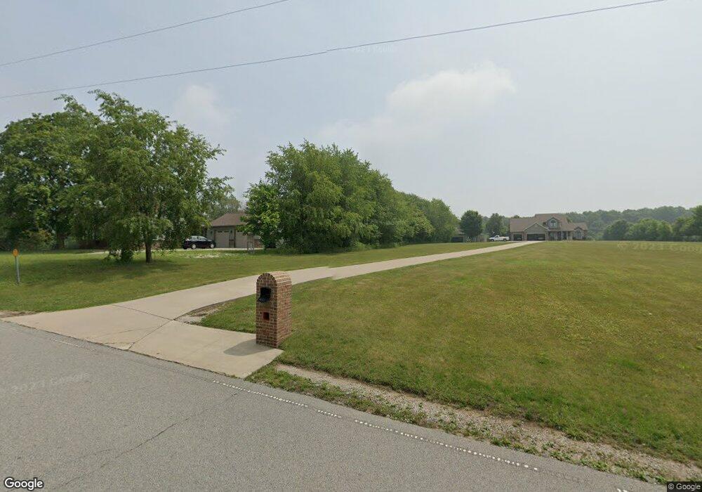
55030 County Line Rd New Carlisle, IN 46552
Estimated Value: $478,000 - $686,000
4
Beds
3
Baths
2,757
Sq Ft
$218/Sq Ft
Est. Value
About This Home
This home is located at 55030 County Line Rd, New Carlisle, IN 46552 and is currently estimated at $600,209, approximately $217 per square foot. 55030 County Line Rd is a home with nearby schools including New Prairie High School.
Ownership History
Date
Name
Owned For
Owner Type
Purchase Details
Closed on
Sep 30, 2010
Sold by
Cooreman Real Estate Group Inc
Bought by
Osborn David W and Osborn Jennifer L
Current Estimated Value
Purchase Details
Closed on
Dec 31, 2009
Sold by
Cooreman Real Estate Group Inc
Bought by
Skornog Robert and Skornog Laura
Home Financials for this Owner
Home Financials are based on the most recent Mortgage that was taken out on this home.
Original Mortgage
$35,715
Interest Rate
4.84%
Mortgage Type
Purchase Money Mortgage
Create a Home Valuation Report for This Property
The Home Valuation Report is an in-depth analysis detailing your home's value as well as a comparison with similar homes in the area
Home Values in the Area
Average Home Value in this Area
Purchase History
| Date | Buyer | Sale Price | Title Company |
|---|---|---|---|
| Osborn David W | -- | Meridian Title Corp | |
| Skornog Robert | -- | Meridian Title Corp |
Source: Public Records
Mortgage History
| Date | Status | Borrower | Loan Amount |
|---|---|---|---|
| Previous Owner | Skornog Robert | $35,715 |
Source: Public Records
Tax History Compared to Growth
Tax History
| Year | Tax Paid | Tax Assessment Tax Assessment Total Assessment is a certain percentage of the fair market value that is determined by local assessors to be the total taxable value of land and additions on the property. | Land | Improvement |
|---|---|---|---|---|
| 2024 | $5,311 | $499,700 | $72,300 | $427,400 |
| 2023 | $5,261 | $401,400 | $72,300 | $329,100 |
| 2022 | $4,606 | $361,800 | $72,300 | $289,500 |
| 2021 | $4,398 | $314,000 | $47,000 | $267,000 |
| 2020 | $4,532 | $317,900 | $47,000 | $270,900 |
| 2019 | $4,702 | $341,800 | $47,700 | $294,100 |
| 2018 | $4,436 | $311,100 | $42,700 | $268,400 |
| 2017 | $4,201 | $310,000 | $42,700 | $267,300 |
| 2016 | $4,595 | $312,600 | $42,700 | $269,900 |
| 2014 | $5,883 | $433,400 | $43,600 | $389,800 |
Source: Public Records
Map
Nearby Homes
- 33811 Ferncrest Ct
- 54850 County Line Rd
- 54760 County Line Rd
- 33671 Woodmont Ridge Dr
- 33791 Early Rd
- 55420 Forest Cove Ct
- 33820 Early Rd
- 33800 Early Rd
- 33780 Early Rd
- 33770 Early Rd
- 33810 Early Rd
- 33790 Early Rd
- 33760 Early Rd
- 33750 Early Rd
- 55420 County Line Rd
- 33740 Early Rd
- 55554 County Line Rd
- 750 W Michigan St
- 55584 County Line Rd
- 55564 County Line Rd
- 54994 County Line Rd
- 54940 County Line Rd
- 55155 Wintercrest Dr
- 55152 County Line Rd
- 6212 N 900 E
- 55199 Wintercrest Dr
- 33841 Ferncrest Ct
- 54900 County Line Rd
- 33823 Ferncrest Ct
- 33836 Ferncrest Ct
- 55225 Wintercrest Dr
- 33811 Ferncrest Ct
- 6232 N 900 E
- 55234 Wintercrest Dr
- 33186 Ferncrest Ct
- 33800 Ferncrest Ct
- 33897 Prairie Edge Dr
- 55260 Wintercrest Dr
- 33927 Prairie Edge Dr
- 6244 N 900 E