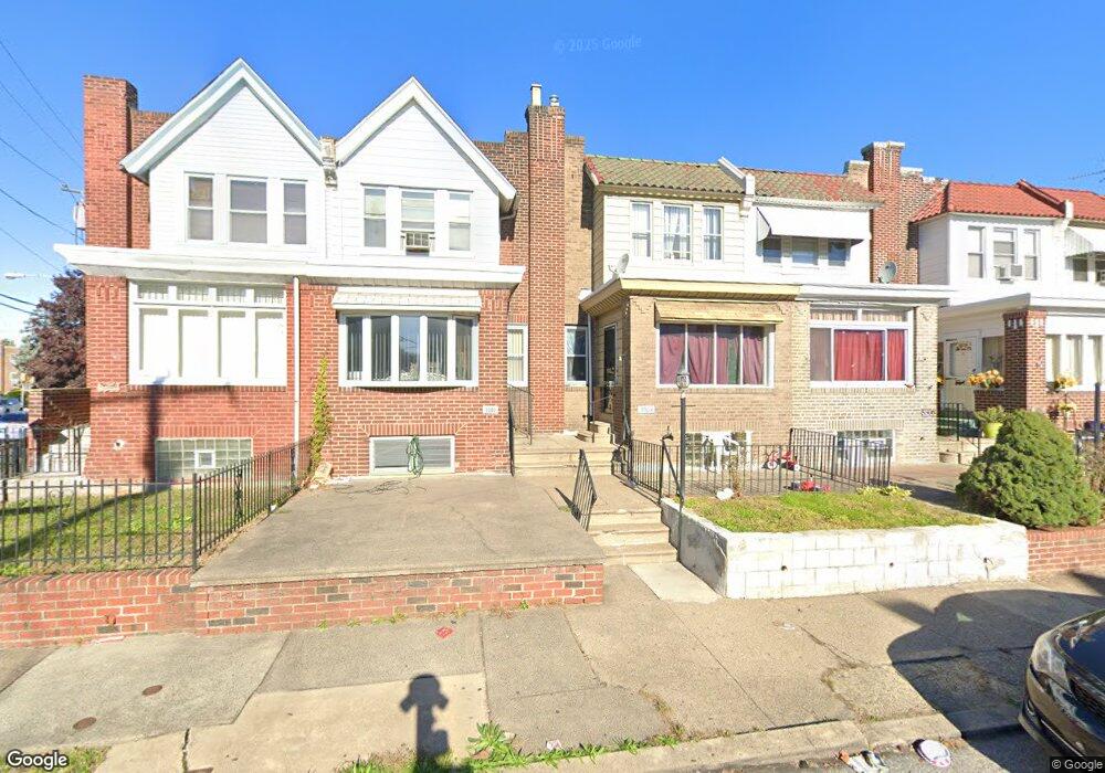
5504 Miriam Rd Philadelphia, PA 19124
Lawncrest NeighborhoodEstimated Value: $201,000 - $237,000
3
Beds
1
Bath
1,328
Sq Ft
$164/Sq Ft
Est. Value
About This Home
This home is located at 5504 Miriam Rd, Philadelphia, PA 19124 and is currently estimated at $217,973, approximately $164 per square foot. 5504 Miriam Rd is a home located in Philadelphia County with nearby schools including Laura H Carnell School, Harding Warren G Middle School, and Samuel Fels High School.
Ownership History
Date
Name
Owned For
Owner Type
Purchase Details
Closed on
Oct 10, 2002
Sold by
Sicinski Richard B and Sicinski Monika
Bought by
Hambright Vivian
Current Estimated Value
Home Financials for this Owner
Home Financials are based on the most recent Mortgage that was taken out on this home.
Original Mortgage
$68,300
Outstanding Balance
$28,676
Interest Rate
6.18%
Mortgage Type
FHA
Estimated Equity
$189,297
Create a Home Valuation Report for This Property
The Home Valuation Report is an in-depth analysis detailing your home's value as well as a comparison with similar homes in the area
Home Values in the Area
Average Home Value in this Area
Purchase History
| Date | Buyer | Sale Price | Title Company |
|---|---|---|---|
| Hambright Vivian | $68,900 | First American Title Ins Co |
Source: Public Records
Mortgage History
| Date | Status | Borrower | Loan Amount |
|---|---|---|---|
| Open | Hambright Vivian | $68,300 |
Source: Public Records
Tax History Compared to Growth
Tax History
| Year | Tax Paid | Tax Assessment Tax Assessment Total Assessment is a certain percentage of the fair market value that is determined by local assessors to be the total taxable value of land and additions on the property. | Land | Improvement |
|---|---|---|---|---|
| 2025 | $2,033 | $187,300 | $37,460 | $149,840 |
| 2024 | $2,033 | $187,300 | $37,460 | $149,840 |
| 2023 | $2,033 | $145,200 | $29,040 | $116,160 |
| 2022 | $736 | $100,200 | $29,040 | $71,160 |
| 2021 | $1,366 | $0 | $0 | $0 |
| 2020 | $1,366 | $0 | $0 | $0 |
| 2019 | $1,312 | $0 | $0 | $0 |
| 2018 | $1,331 | $0 | $0 | $0 |
| 2017 | $1,331 | $0 | $0 | $0 |
| 2016 | $1,331 | $0 | $0 | $0 |
| 2015 | $1,274 | $0 | $0 | $0 |
| 2014 | -- | $95,100 | $16,308 | $78,792 |
| 2012 | -- | $14,304 | $2,189 | $12,115 |
Source: Public Records
Map
Nearby Homes
- 5505 Loretto Ave
- 938 Marcella St
- 972 Bridge St
- 894 Granite St
- 4046 E Roosevelt Blvd
- 951 Wakeling St
- 934 Brill St
- 5640 Miriam Rd
- 5659 Miriam Rd
- 5661 Miriam Rd
- 925 E Sanger St
- 883 Brill St
- 894 E Sanger St
- 991 Carver St
- 1048 Bridge St
- 854 E Sanger St
- 996 Anchor St
- 875 Foulkrod St
- 929 1/2 Anchor St
- 889 Anchor St
- 5502 Miriam Rd
- 5506 Miriam Rd
- 5508 Miriam Rd
- 5500 Miriam Rd
- 5510 Miriam Rd
- 5512 Miriam Rd
- 5516 Miriam Rd
- 5513 Loretto Ave
- 5509 Loretto Ave
- 5511 Loretto Ave
- 5507 Loretto Ave
- 5515 Loretto Ave
- 5517 Loretto Ave
- 5518 Miriam Rd
- 5519 Loretto Ave
- 5501 Miriam Rd Unit 3
- 5521 Loretto Ave
- 5501 Loretto Ave
- 5520 Miriam Rd
- 5523 Loretto Ave