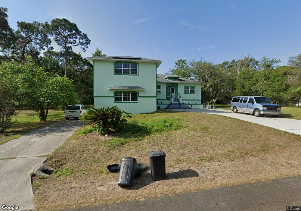
5504 W Paul Bryant Dr Crystal River, FL 34429
Estimated Value: $353,992 - $409,000
3
Beds
3
Baths
2,606
Sq Ft
$146/Sq Ft
Est. Value
About This Home
This home is located at 5504 W Paul Bryant Dr, Crystal River, FL 34429 and is currently estimated at $379,748, approximately $145 per square foot. 5504 W Paul Bryant Dr is a home located in Citrus County with nearby schools including Rock Crusher Elementary School, Crystal River High School, and Crystal River Middle School.
Ownership History
Date
Name
Owned For
Owner Type
Purchase Details
Closed on
Jul 1, 1999
Bought by
Reynard Lawrence P and Reynard Joann K
Current Estimated Value
Purchase Details
Closed on
Apr 1, 1993
Bought by
Reynard Lawrence P and Reynard Joann K
Purchase Details
Closed on
Oct 1, 1991
Bought by
Reynard Lawrence P and Reynard Joann K
Purchase Details
Closed on
Feb 1, 1989
Bought by
Reynard Lawrence P and Reynard Joann K
Purchase Details
Closed on
Dec 1, 1985
Bought by
Reynard Lawrence P and Reynard Joann K
Create a Home Valuation Report for This Property
The Home Valuation Report is an in-depth analysis detailing your home's value as well as a comparison with similar homes in the area
Home Values in the Area
Average Home Value in this Area
Purchase History
| Date | Buyer | Sale Price | Title Company |
|---|---|---|---|
| Reynard Lawrence P | $137,500 | -- | |
| Reynard Lawrence P | $4,800 | -- | |
| Reynard Lawrence P | $8,000 | -- | |
| Reynard Lawrence P | $100 | -- | |
| Reynard Lawrence P | $182,400 | -- |
Source: Public Records
Tax History Compared to Growth
Tax History
| Year | Tax Paid | Tax Assessment Tax Assessment Total Assessment is a certain percentage of the fair market value that is determined by local assessors to be the total taxable value of land and additions on the property. | Land | Improvement |
|---|---|---|---|---|
| 2024 | $1,836 | $157,065 | -- | -- |
| 2023 | $1,836 | $152,490 | $0 | $0 |
| 2022 | $1,717 | $148,049 | $0 | $0 |
| 2021 | $1,647 | $143,737 | $0 | $0 |
| 2020 | $1,586 | $215,311 | $10,200 | $205,111 |
| 2019 | $1,563 | $212,790 | $10,200 | $202,590 |
| 2018 | $1,534 | $206,749 | $10,200 | $196,549 |
| 2017 | $1,527 | $133,184 | $12,370 | $120,814 |
| 2016 | $1,542 | $130,445 | $12,370 | $118,075 |
| 2015 | $1,562 | $129,538 | $12,370 | $117,168 |
| 2014 | $1,594 | $128,510 | $12,332 | $116,178 |
Source: Public Records
Map
Nearby Homes
- 5476 W Paul Bryant Dr
- 5658 W Pine Cir
- 5735 W Paul Bryant Dr
- 5715 W Paul Bryant Dr
- 5332 W Westchase Loop
- 5430 W Tortuga Loop
- 5650 W Kettle Ln
- 322 N Turkey Pine Loop
- 5317 W Tortuga Loop
- 5420 W Heather Ridge Path
- 5836 W Pine Cir
- 5628 W Hunters Ridge Cir
- 5811 W Meadowpark Ln
- 5694 W Hunters Ridge Cir
- 258 N Mesquite Point
- 65 N Leafland Point
- 222 N Mesquite Point
- 30 N Aspen Point
- 5656 W Gulf To Lake Hwy
- 915 N Fox Meadow Terrace
- 5532 W Paul Bryant Dr
- 5515 W Woodside Dr
- 5499 W Paul Bryant Dr
- 5525 W Paul Bryant Dr
- 5459 W Woodside Dr
- 5487 W Paul Bryant Dr
- 5546 W Paul Bryant Dr
- 5513 W Paul Bryant Dr
- 5462 W Paul Bryant Dr
- 5430 W Woodside Dr
- 5490 W Woodside Dr
- 5420 W Woodside Dr
- 5560 W Paul Bryant Dr
- 5465 W Paul Bryant Dr
- 5549 W Paul Bryant Dr
- 5559 W Woodside Dr
- 5508 W Woodside Dr
- 5410 W Woodside Dr
- 5400 W Woodside Dr
- 5576 W Paul Bryant Dr