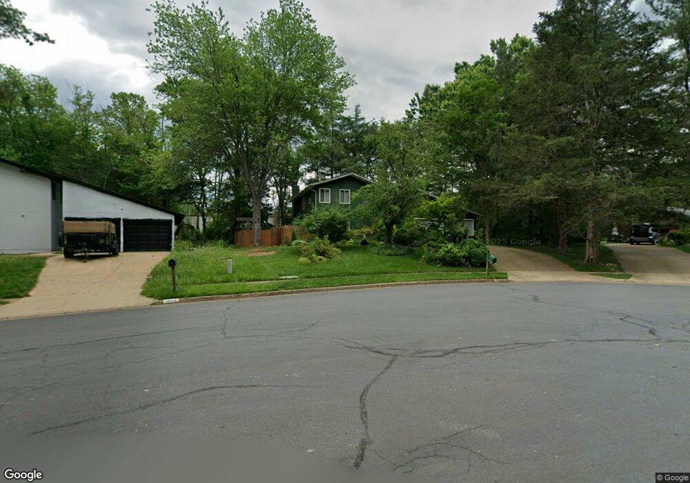
5505 Fireside Ct Fairfax, VA 22032
Estimated Value: $849,354 - $935,000
4
Beds
3
Baths
2,540
Sq Ft
$356/Sq Ft
Est. Value
About This Home
This home is located at 5505 Fireside Ct, Fairfax, VA 22032 and is currently estimated at $903,339, approximately $355 per square foot. 5505 Fireside Ct is a home located in Fairfax County with nearby schools including Bonnie Brae Elementary School, James W Robinson, Jr. Secondary School, and Fairfax Baptist Temple Academy.
Ownership History
Date
Name
Owned For
Owner Type
Purchase Details
Closed on
Jul 9, 1999
Sold by
Riordan Courtney
Bought by
Rogers James R
Current Estimated Value
Home Financials for this Owner
Home Financials are based on the most recent Mortgage that was taken out on this home.
Original Mortgage
$173,040
Outstanding Balance
$47,055
Interest Rate
7.19%
Estimated Equity
$856,284
Create a Home Valuation Report for This Property
The Home Valuation Report is an in-depth analysis detailing your home's value as well as a comparison with similar homes in the area
Home Values in the Area
Average Home Value in this Area
Purchase History
| Date | Buyer | Sale Price | Title Company |
|---|---|---|---|
| Rogers James R | $216,300 | -- |
Source: Public Records
Mortgage History
| Date | Status | Borrower | Loan Amount |
|---|---|---|---|
| Open | Rogers James R | $173,040 |
Source: Public Records
Tax History Compared to Growth
Tax History
| Year | Tax Paid | Tax Assessment Tax Assessment Total Assessment is a certain percentage of the fair market value that is determined by local assessors to be the total taxable value of land and additions on the property. | Land | Improvement |
|---|---|---|---|---|
| 2025 | $8,804 | $792,630 | $341,000 | $451,630 |
| 2024 | $8,804 | $759,910 | $326,000 | $433,910 |
| 2023 | $8,220 | $728,360 | $316,000 | $412,360 |
| 2022 | $7,837 | $685,310 | $286,000 | $399,310 |
| 2021 | $7,131 | $607,660 | $251,000 | $356,660 |
| 2020 | $6,653 | $562,120 | $236,000 | $326,120 |
| 2019 | $6,427 | $543,090 | $226,000 | $317,090 |
| 2018 | $6,108 | $531,100 | $226,000 | $305,100 |
| 2017 | $6,415 | $552,540 | $226,000 | $326,540 |
| 2016 | $5,836 | $503,790 | $201,000 | $302,790 |
| 2015 | $5,622 | $503,790 | $201,000 | $302,790 |
| 2014 | $5,477 | $491,850 | $189,000 | $302,850 |
Source: Public Records
Map
Nearby Homes
- 5503 Fireside Ct
- 10412 Pearl St
- 10434 Calumet Grove Dr
- 10402 Hollyoak Place
- 5674 Oak Tanager Ct
- 5602 Summer Oak Way
- 10708 Rippon Lodge Dr
- 5453 Cheshire Meadows Way
- 5515 Cheshire Meadows Way
- 5538 Shooters Hill Ln
- 5703 Oak Stake Ct
- 5806 Cove Landing Rd Unit 304
- 10278 Colony Park Dr
- 5902 Cove Landing Rd Unit 202
- 0 Joshua Davis Ct
- 5819 Cove Landing Rd Unit 303
- 5940 Cove Landing Rd Unit 304
- 5918 Cove Landing Rd Unit 204
- 10330 Luria Commons Ct Unit 1B
- 10919 Spurlock Ct
- 5507 Fireside Ct
- 5509 Fireside Ct
- 5500 Southport Ln
- 5502 Fireside Ct Unit 32
- 5504 Southport Ln
- 5420 Sideburn Rd
- 5500 Fireside Ct
- 5501 Southport Ln
- 5506 Southport Ln
- 5428 Southport Ln
- 5429 Southport Ln
- 5404 Black Oak Dr
- 5503 Southport Ln
- 5426 Southport Ln
- 10519 Acacia Ln
- 10517 Acacia Ln
- 5402 Black Oak Dr
- 5406 Sideburn Rd
- 10515 Acacia Ln
- 5405 Black Oak Dr