5506 Doublehead Gap Rd Blue Ridge, GA 30513
Estimated Value: $352,011 - $638,000
2
Beds
2
Baths
1,792
Sq Ft
$260/Sq Ft
Est. Value
About This Home
This home is located at 5506 Doublehead Gap Rd, Blue Ridge, GA 30513 and is currently estimated at $466,753, approximately $260 per square foot. 5506 Doublehead Gap Rd is a home located in Fannin County with nearby schools including Fannin County High School.
Ownership History
Date
Name
Owned For
Owner Type
Purchase Details
Closed on
Aug 25, 2010
Sold by
Community & Southern Bank
Bought by
Callihan Custom Cabins Llc
Current Estimated Value
Purchase Details
Closed on
Feb 25, 2009
Sold by
Callihan Custom Cabins Llc
Bought by
Ferriss Gerald L and Ferriss Holly L
Home Financials for this Owner
Home Financials are based on the most recent Mortgage that was taken out on this home.
Original Mortgage
$108,000
Interest Rate
5%
Mortgage Type
New Conventional
Create a Home Valuation Report for This Property
The Home Valuation Report is an in-depth analysis detailing your home's value as well as a comparison with similar homes in the area
Home Values in the Area
Average Home Value in this Area
Purchase History
| Date | Buyer | Sale Price | Title Company |
|---|---|---|---|
| Callihan Custom Cabins Llc | -- | -- | |
| Ferriss Gerald L | $145,000 | -- |
Source: Public Records
Mortgage History
| Date | Status | Borrower | Loan Amount |
|---|---|---|---|
| Previous Owner | Ferriss Gerald L | $108,000 |
Source: Public Records
Tax History Compared to Growth
Tax History
| Year | Tax Paid | Tax Assessment Tax Assessment Total Assessment is a certain percentage of the fair market value that is determined by local assessors to be the total taxable value of land and additions on the property. | Land | Improvement |
|---|---|---|---|---|
| 2024 | $1,047 | $114,260 | $19,358 | $94,902 |
| 2023 | $976 | $95,755 | $19,358 | $76,397 |
| 2022 | $987 | $96,865 | $19,358 | $77,507 |
| 2021 | $788 | $56,177 | $19,358 | $36,819 |
| 2020 | $801 | $56,177 | $19,358 | $36,819 |
| 2019 | $851 | $58,539 | $19,358 | $39,181 |
| 2018 | $902 | $58,539 | $19,358 | $39,181 |
| 2017 | $1,045 | $59,055 | $19,358 | $39,697 |
| 2016 | $924 | $54,404 | $19,358 | $35,046 |
| 2015 | $974 | $54,878 | $19,358 | $35,520 |
| 2014 | $1,039 | $58,605 | $19,358 | $39,246 |
| 2013 | -- | $47,730 | $19,358 | $28,372 |
Source: Public Records
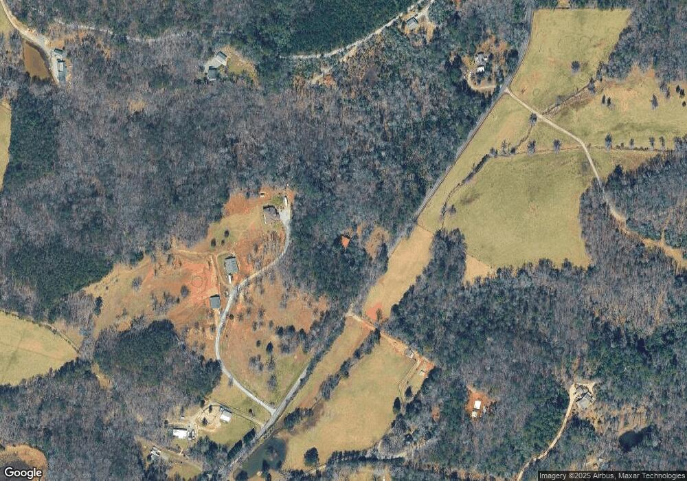
Map
Nearby Homes
- 0 Hillbilly Unit 7636164
- 0 Hillbilly Holler Unit 7429512
- 0 Hillbilly Holler Unit 10349381
- 156 Peter Knob Rd
- 60 Bailey Creek Dr
- 213 Valley Branch Rd
- 213 Valley Branch
- 3006 Doublehead Gap Rd
- 306 Native Trail
- 51+ acre Mountain Cove Way
- 51+ acre Mountain Cove Way Unit 1-8
- Lot 21 Mountain Trace
- 0 Doublehead Gap Rd Unit 7602279
- 100 Black Oaks Rd
- 328 Black Ankle Creek Rd
- Lot 20 Black Oaks Rd
- 356 Mountain Trace
- 28 Aska Forest Trail
- 1630 Black Ankle Creek Rd
- LOT 10 Papa Bear Path
- 5652 Doublehead Gap Rd
- 175 Deerberry Dr
- 319 Deerberry Dr
- 71 Angel Dr
- 5304 Doublehead Gap Rd
- 9 Anglers Loop
- 299 Angel Dr
- 67 Deerberry Dr
- 0 Deerberry Dr
- 99 Deerberry Dr
- 0 Anglers Loop Unit 15
- 0 Anglers Loop Unit 15 8285903
- 0 Anglers Loop Unit 8588852
- 68 Angel Dr
- 68 Angel Dr
- 515 Deerberry Dr
- 12 Noontootla Creek
- 12 Nootootley Creek Rd
- 28 Noontootla Creek
- 631 Deerberry Dr