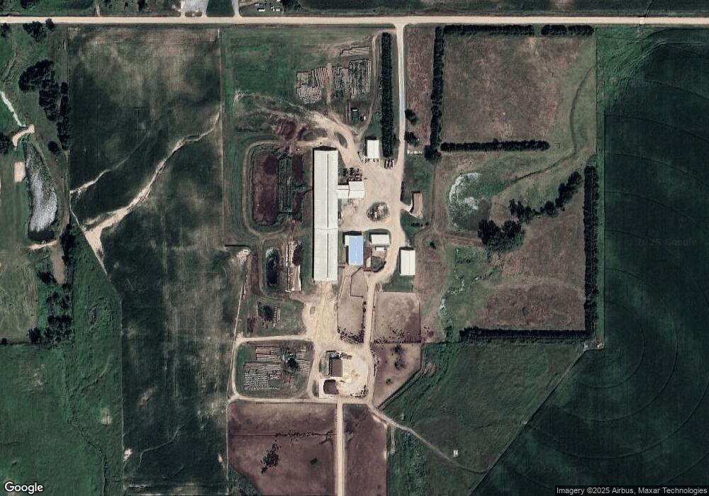
55060 844th Rd Norfolk, NE 68701
Estimated Value: $508,000 - $1,264,277
3
Beds
2
Baths
1,858
Sq Ft
$477/Sq Ft
Est. Value
About This Home
This home is located at 55060 844th Rd, Norfolk, NE 68701 and is currently estimated at $886,139, approximately $476 per square foot. 55060 844th Rd is a home located in Madison County with nearby schools including Norfolk Senior High School and Lutheran High School Northeast.
Ownership History
Date
Name
Owned For
Owner Type
Purchase Details
Closed on
Aug 16, 2017
Sold by
Winkelbauer Dawn and The Mark Winkelbauer Revocable
Bought by
Winkelbauer Lucas M
Current Estimated Value
Home Financials for this Owner
Home Financials are based on the most recent Mortgage that was taken out on this home.
Original Mortgage
$70,000
Interest Rate
3.96%
Mortgage Type
Purchase Money Mortgage
Purchase Details
Closed on
Oct 23, 2009
Sold by
Winkelbauer Matthew J and Winkelbauer Dawn M
Bought by
Winkelbauer Matthew J and Winkelbauer Dawn M
Create a Home Valuation Report for This Property
The Home Valuation Report is an in-depth analysis detailing your home's value as well as a comparison with similar homes in the area
Home Values in the Area
Average Home Value in this Area
Purchase History
| Date | Buyer | Sale Price | Title Company |
|---|---|---|---|
| Winkelbauer Lucas M | -- | None Available | |
| Winkelbauer Matthew J | -- | -- |
Source: Public Records
Mortgage History
| Date | Status | Borrower | Loan Amount |
|---|---|---|---|
| Closed | Winkelbauer Lucas M | $70,000 |
Source: Public Records
Tax History Compared to Growth
Tax History
| Year | Tax Paid | Tax Assessment Tax Assessment Total Assessment is a certain percentage of the fair market value that is determined by local assessors to be the total taxable value of land and additions on the property. | Land | Improvement |
|---|---|---|---|---|
| 2024 | $16,778 | $1,732,410 | $1,040,863 | $691,547 |
| 2023 | $23,400 | $1,529,512 | $863,442 | $666,070 |
| 2022 | $21,988 | $1,431,948 | $765,878 | $666,070 |
| 2021 | $20,800 | $1,365,624 | $720,388 | $645,236 |
| 2020 | $21,079 | $1,365,624 | $720,388 | $645,236 |
| 2019 | $21,261 | $1,352,304 | $729,114 | $623,190 |
| 2018 | $21,724 | $1,411,788 | $804,197 | $607,591 |
| 2017 | $21,433 | $1,388,670 | $802,545 | $586,125 |
| 2016 | $21,371 | $1,369,722 | $803,291 | $566,431 |
| 2015 | $21,400 | $1,369,722 | $803,291 | $566,431 |
| 2014 | $22,670 | $1,396,163 | $847,800 | $548,363 |
| 2013 | $22,015 | $1,298,353 | $749,990 | $548,363 |
Source: Public Records
Map
Nearby Homes
- 2711 N 47th Cir
- 2811 N 47th Cir
- 2610 N 47th Cir
- 2710 N 47th Cir
- 2511 N 45th St
- 4801 N Deer Run Dr
- 1605 Eldorado Rd
- 3605 MacH I Dr
- 3603 MacH I Dr
- 3304 Stonebrook Ln
- 31 25 1 PT W 1 2 N 1 2 Ne 1 4 40 08 Ac 31-25-1
- 3302 MacH 1 Dr
- 3107 Golf View Dr
- 109 Kings Way
- 3403 Portia Place
- 1407 N 30th St
- 1405 N 30th St
- 506 N 34th St
- 3006 Dover Dr
- 803 N 34th St