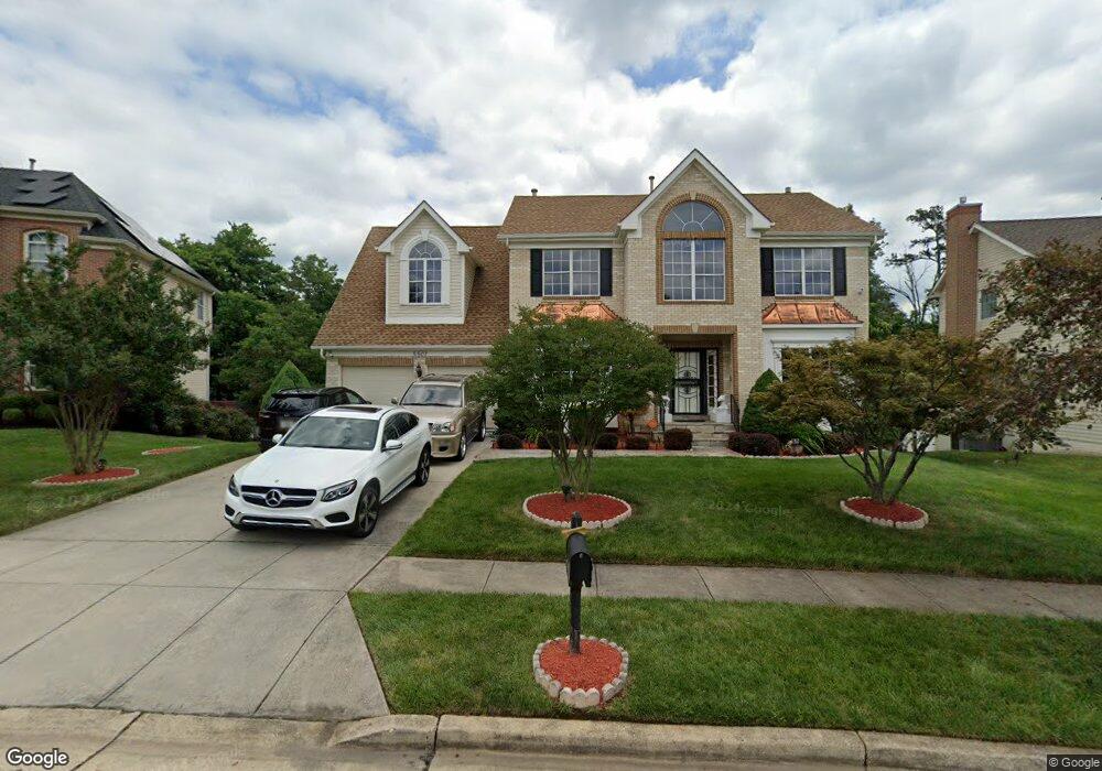
5507 Axton Ct Lanham, MD 20706
Estimated Value: $657,470 - $733,000
Studio
4
Baths
2,980
Sq Ft
$236/Sq Ft
Est. Value
About This Home
This home is located at 5507 Axton Ct, Lanham, MD 20706 and is currently estimated at $703,618, approximately $236 per square foot. 5507 Axton Ct is a home located in Prince George's County with nearby schools including Seabrook Elementary School, Thomas Johnson Middle School, and Duval High School.
Ownership History
Date
Name
Owned For
Owner Type
Purchase Details
Closed on
May 7, 2012
Sold by
Taylor Gloria
Bought by
Taylor Gloria and Miller Orlando R L
Current Estimated Value
Purchase Details
Closed on
Jan 13, 2003
Sold by
Martin Anthony A
Bought by
Taylor Gloria
Purchase Details
Closed on
Nov 10, 1994
Sold by
Us Home Corp
Bought by
Martin Anthony A
Home Financials for this Owner
Home Financials are based on the most recent Mortgage that was taken out on this home.
Original Mortgage
$197,750
Interest Rate
8.78%
Create a Home Valuation Report for This Property
The Home Valuation Report is an in-depth analysis detailing your home's value as well as a comparison with similar homes in the area
Home Values in the Area
Average Home Value in this Area
Purchase History
| Date | Buyer | Sale Price | Title Company |
|---|---|---|---|
| Taylor Gloria | -- | Capitol Title Ins Agency Inc | |
| Taylor Gloria | $355,000 | -- | |
| Martin Anthony A | $263,690 | -- |
Source: Public Records
Mortgage History
| Date | Status | Borrower | Loan Amount |
|---|---|---|---|
| Previous Owner | Martin Anthony A | $197,750 | |
| Closed | Martin Anthony A | $39,554 |
Source: Public Records
Tax History
| Year | Tax Paid | Tax Assessment Tax Assessment Total Assessment is a certain percentage of the fair market value that is determined by local assessors to be the total taxable value of land and additions on the property. | Land | Improvement |
|---|---|---|---|---|
| 2025 | $8,210 | $563,367 | -- | -- |
| 2024 | $8,210 | $525,633 | -- | -- |
| 2023 | $5,425 | $487,900 | $101,600 | $386,300 |
| 2022 | $7,436 | $473,633 | $0 | $0 |
| 2021 | $7,224 | $459,367 | $0 | $0 |
| 2020 | $7,012 | $445,100 | $80,800 | $364,300 |
| 2019 | $6,560 | $414,667 | $0 | $0 |
| 2018 | $6,108 | $384,233 | $0 | $0 |
| 2017 | $5,655 | $353,800 | $0 | $0 |
| 2016 | -- | $344,533 | $0 | $0 |
| 2015 | $6,662 | $335,267 | $0 | $0 |
| 2014 | $6,662 | $326,000 | $0 | $0 |
Source: Public Records
Map
Nearby Homes
- 10102 Ellard Dr
- 10133 Ellard Dr
- 9805 Walnut Ave
- 5513 Lanteen St
- 5546 Amber St
- 9603 Beachwood Ave
- 9712 Vang Dr
- 5904 Justina Dr
- 9603 Woodland Ave
- 5554 Lanteen St Unit 1105
- 9616 Block St
- 6003 Shepherd Ln
- 9524 Dubarry Ave
- 9937 Franklin St
- 5110 Baltimore Ln
- 9434 Dubarry Ave
- 10811 Electric Ave
- 5705 Lincoln Ave
- 9309 Kimbark Ave
- 9912 Ridge St
Your Personal Tour Guide
Ask me questions while you tour the home.