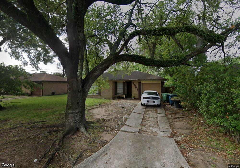
5507 Maywood Dr Houston, TX 77053
Fort Bend Houston NeighborhoodEstimated Value: $163,618 - $175,000
3
Beds
1
Bath
1,026
Sq Ft
$163/Sq Ft
Est. Value
About This Home
This home is located at 5507 Maywood Dr, Houston, TX 77053 and is currently estimated at $167,539, approximately $163 per square foot. 5507 Maywood Dr is a home located in Fort Bend County with nearby schools including Ridgegate Elementary School, Christa McAuliffe Middle School, and Willowridge High School.
Ownership History
Date
Name
Owned For
Owner Type
Purchase Details
Closed on
Oct 14, 2015
Sold by
5507 Maywood Trust
Bought by
Hernandez Eucario and Flores Isabel L
Current Estimated Value
Purchase Details
Closed on
Aug 28, 2002
Sold by
Boyd Michael L
Bought by
5507 Maywood Trust
Purchase Details
Closed on
Aug 20, 2002
Sold by
Boyd Michael L
Bought by
Boyd Michael L
Purchase Details
Closed on
Feb 9, 2000
Sold by
Becker Edmund Thomas
Bought by
5507 Maywood Trust
Create a Home Valuation Report for This Property
The Home Valuation Report is an in-depth analysis detailing your home's value as well as a comparison with similar homes in the area
Home Values in the Area
Average Home Value in this Area
Purchase History
| Date | Buyer | Sale Price | Title Company |
|---|---|---|---|
| Hernandez Eucario | -- | None Available | |
| 5507 Maywood Trust | -- | -- | |
| Hernandez Eucario | -- | -- | |
| Boyd Michael L | -- | Fidelity National Title | |
| 5507 Maywood Trust | -- | Commonwealth Land Title Co |
Source: Public Records
Tax History Compared to Growth
Tax History
| Year | Tax Paid | Tax Assessment Tax Assessment Total Assessment is a certain percentage of the fair market value that is determined by local assessors to be the total taxable value of land and additions on the property. | Land | Improvement |
|---|---|---|---|---|
| 2025 | $3,135 | $129,461 | $21,840 | $107,621 |
| 2024 | $3,135 | $162,608 | $21,840 | $140,768 |
| 2023 | $3,155 | $162,033 | $16,800 | $145,233 |
| 2022 | $2,666 | $125,790 | $16,800 | $108,990 |
| 2021 | $2,381 | $107,540 | $16,800 | $90,740 |
| 2020 | $2,389 | $105,930 | $16,800 | $89,130 |
| 2019 | $1,897 | $79,970 | $14,000 | $65,970 |
| 2018 | $1,854 | $78,130 | $14,000 | $64,130 |
| 2017 | $1,694 | $70,550 | $14,000 | $56,550 |
| 2016 | $1,532 | $63,830 | $14,000 | $49,830 |
| 2015 | $1,171 | $64,110 | $14,000 | $50,110 |
| 2014 | $981 | $53,490 | $14,000 | $39,490 |
Source: Public Records
Map
Nearby Homes
- 5605 Melanite Ave
- 5418 Arthington St
- 5734 Arthington St
- 15903 Lenclaire Dr
- 15915 Dante Dr
- 5310 Ingomar Way
- 15406 Markwood Ct
- 5614 Condon Ln
- 5710 W Ridgecreek Dr
- 5619 Gineridge Dr
- 5121 Mackinaw St
- 5774 Gineridge Dr
- 5310 Ridgeton Dr
- 6101 Maywood Dr
- 5118 Danfield Dr
- 5622 Lycomb Dr
- 16226 Alden Ridge Dr
- 15806 Corsair Rd
- 15318 Corsair Rd
- 5103 Ridgevan St
- 5511 Maywood Dr
- 5503 Maywood Dr
- 5506 Melanite St
- 5502 Melanite St
- 5515 Maywood Dr
- 5510 Melanite St
- 5514 Melanite St
- 5506 Maywood Dr
- 5502 Maywood Dr
- 5510 Maywood Dr
- 5519 Maywood Dr
- 5514 Maywood Dr
- 5518 Melanite St
- 5518 Maywood Dr
- 5522 Melanite St
- 5434 Melanite Ave
- 5505 Melanite St
- 5505 Melanite Ave
- 5509 Melanite Ave
- 5509 Melanite St