5507 Roanes Wharf Landing Unit LANDING Gloucester, VA 23061
Gloucester South NeighborhoodEstimated Value: $972,447 - $1,103,000
4
Beds
4
Baths
3,017
Sq Ft
$342/Sq Ft
Est. Value
About This Home
This home is located at 5507 Roanes Wharf Landing Unit LANDING, Gloucester, VA 23061 and is currently estimated at $1,031,362, approximately $341 per square foot. 5507 Roanes Wharf Landing Unit LANDING is a home located in Gloucester County with nearby schools including Abingdon Elementary School, Page Middle School, and Gloucester High School.
Ownership History
Date
Name
Owned For
Owner Type
Purchase Details
Closed on
Aug 24, 2016
Sold by
Chrysotile Beach Llc A Virginia Limited
Bought by
Davis James D and Davis Suzanne M
Current Estimated Value
Home Financials for this Owner
Home Financials are based on the most recent Mortgage that was taken out on this home.
Original Mortgage
$585,000
Outstanding Balance
$464,583
Interest Rate
3.42%
Mortgage Type
Adjustable Rate Mortgage/ARM
Estimated Equity
$566,779
Purchase Details
Closed on
Feb 7, 2007
Sold by
Roberts William L and Roberts Kathryn B
Bought by
Cherysotile Beach Llc
Home Financials for this Owner
Home Financials are based on the most recent Mortgage that was taken out on this home.
Original Mortgage
$550,000
Interest Rate
6.23%
Mortgage Type
Credit Line Revolving
Create a Home Valuation Report for This Property
The Home Valuation Report is an in-depth analysis detailing your home's value as well as a comparison with similar homes in the area
Home Values in the Area
Average Home Value in this Area
Purchase History
| Date | Buyer | Sale Price | Title Company |
|---|---|---|---|
| Davis James D | $585,000 | Attorney | |
| Cherysotile Beach Llc | $71,500 | None Available |
Source: Public Records
Mortgage History
| Date | Status | Borrower | Loan Amount |
|---|---|---|---|
| Open | Davis James D | $585,000 | |
| Previous Owner | Cherysotile Beach Llc | $550,000 |
Source: Public Records
Tax History Compared to Growth
Tax History
| Year | Tax Paid | Tax Assessment Tax Assessment Total Assessment is a certain percentage of the fair market value that is determined by local assessors to be the total taxable value of land and additions on the property. | Land | Improvement |
|---|---|---|---|---|
| 2025 | $4,726 | $757,300 | $347,530 | $409,770 |
| 2024 | $4,726 | $757,300 | $347,530 | $409,770 |
| 2023 | $4,491 | $757,300 | $347,530 | $409,770 |
| 2022 | $4,500 | $612,280 | $292,670 | $319,610 |
| 2021 | $4,317 | $612,280 | $292,670 | $319,610 |
| 2020 | $4,317 | $612,280 | $292,670 | $319,610 |
| 2019 | $4,008 | $568,490 | $292,670 | $275,820 |
| 2017 | $4,008 | $568,490 | $292,670 | $275,820 |
| 2016 | $4,639 | $658,020 | $292,670 | $365,350 |
| 2015 | $4,540 | $757,300 | $308,300 | $449,000 |
| 2014 | $4,998 | $757,300 | $308,300 | $449,000 |
Source: Public Records
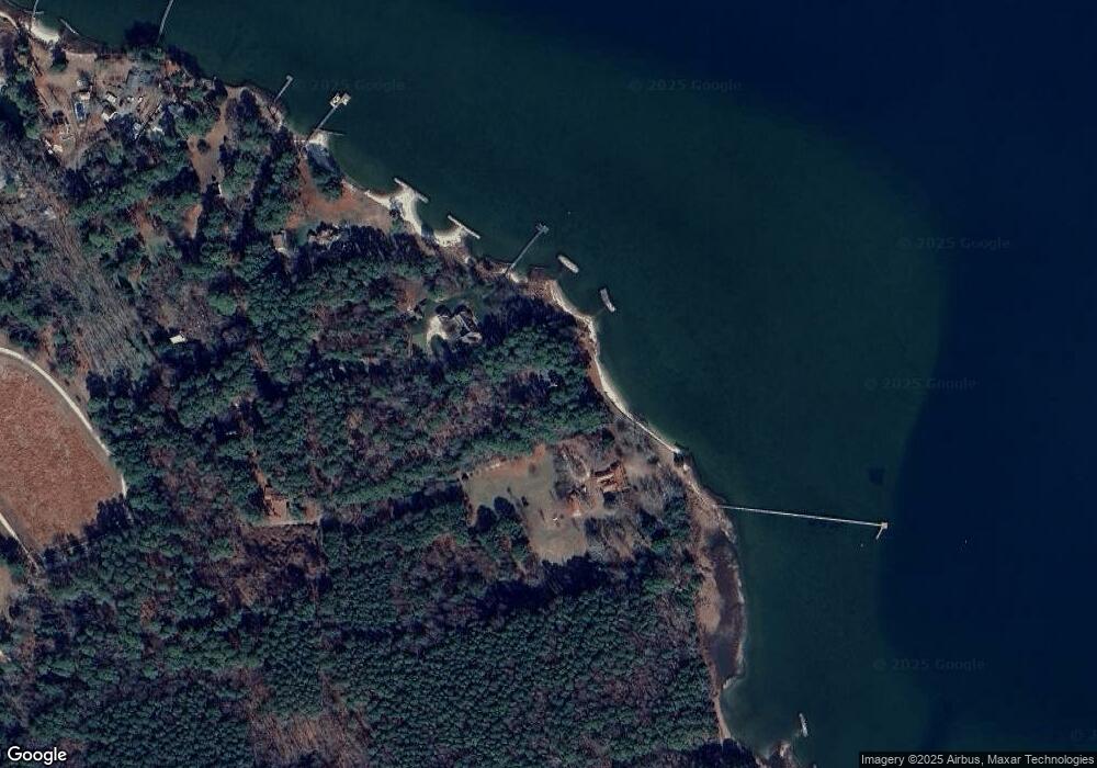
Map
Nearby Homes
- 8194 Robins Neck Rd
- 5AC Paynes Landing Rd
- 7914 O Neil Rd
- 7814 O Neil Rd
- 7178 Ditchley Dr
- 1AC Ditchley Dr
- 20acre Feather Bed Ln
- 8157 Ocarra Dr
- 1 ac N Ware Point Ln
- 0000 T C Walker Rd
- 6777 Ware Neck Rd
- 6960 Hidden Brook Dr
- 8016 Brays Point Rd
- 8418 Back Creek Rd
- Lot 2 S George Washington Memorial Hwy
- 17 S George Washington Memorial Hwy
- Lot 3 S George Washington Memorial Hwy
- 9078 Stump Point Rd
- 9782 Anchorage Ln
- 6049 Roland Smith Dr
- 5507 Roanes Wharf Landing
- 5604 Roanes Wharf Rd
- 5533 Roanes Wharf Landing
- 5608 Roanes Wharf Rd
- 5563 Roanes Wharf Landing
- 5584 Roanes Wharf Rd
- 5560 Roanes Wharf Landing
- 5514 Daisy Ln
- 5526 Daisy Ln
- 5538 Daisy Ln
- 5594 Roanes Wharf Rd
- 5557 Hatfield Ln
- 5587 Hatfield Ln
- 5608 Hatfield Ln
- 8385 Robins Neck Rd
- 5556 Roanes Wharf Rd
- 5552 Roanes Wharf Rd
- 5518 Roanes Wharf Rd
- 5514 Roanes Wharf Rd
- 5476 Roanes Wharf Rd