Estimated Value: $805,000 - $875,000
2
Beds
2
Baths
2,081
Sq Ft
$404/Sq Ft
Est. Value
About This Home
This home is located at 55075 Log Bridge Dr, Bend, OR 97707 and is currently estimated at $840,481, approximately $403 per square foot. 55075 Log Bridge Dr is a home located in Deschutes County with nearby schools including Rosland Elementary School, La Pine Middle School, and La Pine Senior High School.
Ownership History
Date
Name
Owned For
Owner Type
Purchase Details
Closed on
Nov 19, 2009
Sold by
Wert Timothy S and Wert Honeylina R
Bought by
Pugh Ronald W
Current Estimated Value
Purchase Details
Closed on
Apr 19, 2005
Sold by
Branch Eldon R and Branch Doris E
Bought by
Wert Timothy S and Wert Honeylina R
Home Financials for this Owner
Home Financials are based on the most recent Mortgage that was taken out on this home.
Original Mortgage
$48,750
Interest Rate
5.84%
Mortgage Type
Unknown
Create a Home Valuation Report for This Property
The Home Valuation Report is an in-depth analysis detailing your home's value as well as a comparison with similar homes in the area
Home Values in the Area
Average Home Value in this Area
Purchase History
| Date | Buyer | Sale Price | Title Company |
|---|---|---|---|
| Pugh Ronald W | $48,000 | Amerititle | |
| Wert Timothy S | $65,000 | First Amer Title Ins Co Or |
Source: Public Records
Mortgage History
| Date | Status | Borrower | Loan Amount |
|---|---|---|---|
| Previous Owner | Wert Timothy S | $48,750 |
Source: Public Records
Tax History Compared to Growth
Tax History
| Year | Tax Paid | Tax Assessment Tax Assessment Total Assessment is a certain percentage of the fair market value that is determined by local assessors to be the total taxable value of land and additions on the property. | Land | Improvement |
|---|---|---|---|---|
| 2025 | $5,826 | $316,100 | -- | -- |
| 2024 | $5,592 | $306,900 | -- | -- |
| 2023 | $5,373 | $297,970 | $0 | $0 |
| 2022 | $4,799 | $280,880 | $0 | $0 |
| 2021 | $4,826 | $272,700 | $0 | $0 |
| 2020 | $4,581 | $272,700 | $0 | $0 |
| 2019 | $4,453 | $264,760 | $0 | $0 |
| 2018 | $4,325 | $257,050 | $0 | $0 |
| 2017 | $4,211 | $249,570 | $0 | $0 |
| 2016 | $4,019 | $242,310 | $0 | $0 |
| 2015 | $3,907 | $235,260 | $0 | $0 |
| 2014 | $3,786 | $228,410 | $0 | $0 |
Source: Public Records
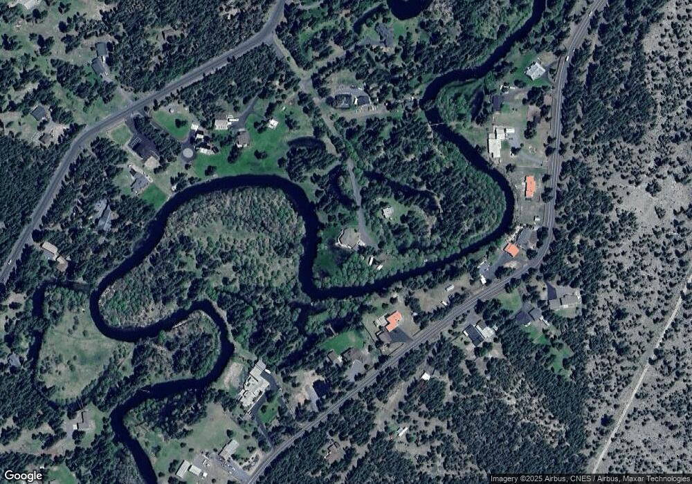
Map
Nearby Homes
- 55086 Log Bridge Dr
- 55050 Huntington Rd
- 55100 Tamarack Rd
- 55236 Homestead Way
- 55015 Tamarack Rd
- 54735 Huntington Rd
- 54880 Maple Dr
- 17045 Shawnee Cir
- 17168 Helbrock Dr Unit 1-4
- 17156 Helbrock Dr
- 17170 Shawnee Cir
- 17373 S Century Dr
- 17024 Helbrock Dr
- 17410 Cedar Ct
- 17235 S Century Dr
- 17040 Kasserman Dr
- 54456 Huntington Rd
- 55659 Swan Rd
- 54445 Huntington Rd
- 55426 Heierman Dr Unit 33
- 55045 Huntington Rd
- 55031 Huntington Rd
- 55047 Huntington Rd
- 55021 Huntington
- 55065 Huntington Rd
- 55015 Huntington Rd
- 55106 Log Bridge Dr
- 55056 Huntington Rd
- 55087 Huntington Rd
- 17425 Calico Ct
- 55125 Log Bridge Dr
- 55020 Huntington Rd
- 55101 Huntington Rd
- 55118 Lazy River Dr
- 55066 Huntington Rd
- 55108 Lazy River Dr
- 55117 Huntington Rd
- 17430 Calico Ct
- 29 Calico Ct