5508 E Davis Rd Spangle, WA 99031
Estimated Value: $812,000 - $1,128,000
3
Beds
3
Baths
2,615
Sq Ft
$357/Sq Ft
Est. Value
About This Home
This home is located at 5508 E Davis Rd, Spangle, WA 99031 and is currently estimated at $934,699, approximately $357 per square foot. 5508 E Davis Rd is a home located in Spokane County with nearby schools including Liberty Elementary/Junior High School and Liberty High School.
Ownership History
Date
Name
Owned For
Owner Type
Purchase Details
Closed on
Dec 1, 2006
Sold by
Chantry Gary B and Chantry Anna Marie
Bought by
Holman Robert and Holman Karen
Current Estimated Value
Create a Home Valuation Report for This Property
The Home Valuation Report is an in-depth analysis detailing your home's value as well as a comparison with similar homes in the area
Purchase History
| Date | Buyer | Sale Price | Title Company |
|---|---|---|---|
| Holman Robert | $140,000 | Spokane County Title Co |
Source: Public Records
Tax History
| Year | Tax Paid | Tax Assessment Tax Assessment Total Assessment is a certain percentage of the fair market value that is determined by local assessors to be the total taxable value of land and additions on the property. | Land | Improvement |
|---|---|---|---|---|
| 2025 | $5,036 | $789,200 | $248,600 | $540,600 |
| 2024 | $5,036 | $736,000 | $150,400 | $585,600 |
| 2023 | $5,373 | $770,210 | $184,610 | $585,600 |
| 2022 | $5,354 | $839,010 | $184,610 | $654,400 |
| 2021 | $4,914 | $619,040 | $167,840 | $451,200 |
| 2020 | $4,686 | $580,950 | $164,550 | $416,400 |
| 2019 | $3,842 | $499,320 | $137,420 | $361,900 |
| 2018 | $4,172 | $456,620 | $123,120 | $333,500 |
| 2017 | $3,794 | $403,690 | $90,890 | $312,800 |
| 2016 | $3,469 | $380,460 | $65,860 | $314,600 |
| 2015 | $3,681 | $445,660 | $129,760 | $315,900 |
| 2014 | -- | $445,660 | $129,760 | $315,900 |
| 2013 | -- | $0 | $0 | $0 |
Source: Public Records
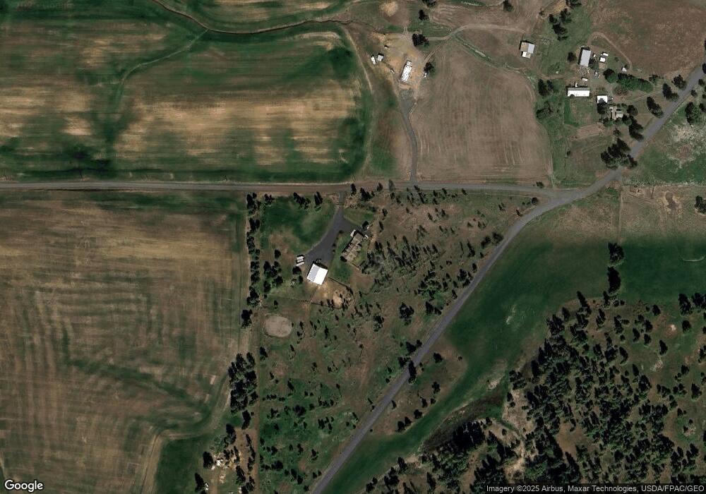
Map
Nearby Homes
- 32311 S North Pine Creek Rd
- 0 Unassigned Address Rd Unit SAR202513397
- XXXXX Vacant Land
- 11900 E Hays Rd Unit Lot A - Parcel 9030
- 3703 Plaza Rd
- Lot 2 Nka Cheney Spangle Rd Unit Parcel 32085.9041
- 365 N Pine St
- 1112 E Jennings Rd
- 3013 E Watt Rd
- XXX E Cornwall Rd
- XX Vacant Land
- 1403 W Jennings Rd
- 102 E Cameron Rd
- 21608 S Mill Rd
- 20xxx S Parker Rd
- 209 E Ticknor St
- 27711 S Cheney Spangle Rd
- 22711 S Gateway Ln
- 101 Kelsey Rd
- 4408 E Spangle Creek Rd
- 0 E Davis Rd
- 0 S Unknown Rd
- 30616 S North Pine Creek Rd
- 30115 S North Pine Creek Rd
- 30114 S North Pine Creek Rd
- 30915 N Pine Creek
- 31404 S North Pine Creek Rd
- 30915 S North Pine Creek Rd
- 29818 N Pine Creek Rd
- 4211 E Davis Rd
- 6810 E Spangle Waverly Rd
- 0 E Spangle Waverly Rd
- X E Spangle Waverly Rd
- 29515 S North Kentuck Trails Rd
- 6919 E Spangle Waverly Rd
Your Personal Tour Guide
Ask me questions while you tour the home.