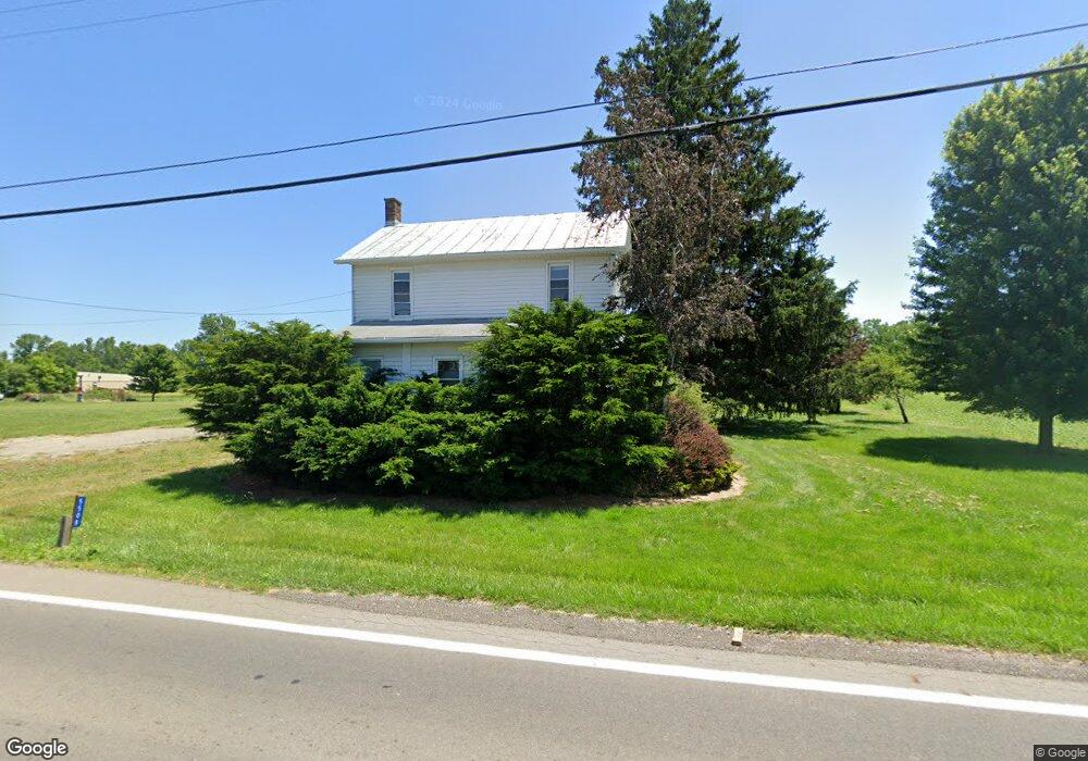
5508 State Route 61 N Shelby, OH 44875
Estimated Value: $160,562 - $196,000
3
Beds
1
Bath
1,600
Sq Ft
$112/Sq Ft
Est. Value
About This Home
This home is located at 5508 State Route 61 N, Shelby, OH 44875 and is currently estimated at $178,891, approximately $111 per square foot. 5508 State Route 61 N is a home located in Richland County with nearby schools including St. Mary's School.
Ownership History
Date
Name
Owned For
Owner Type
Purchase Details
Closed on
Mar 24, 2017
Sold by
Pmt Holdings Llc
Bought by
Rpf Limited Partnership
Current Estimated Value
Purchase Details
Closed on
Oct 25, 2016
Sold by
Skiffington Regis J and Skiffington Lois M
Bought by
Pmt Holdings Llc
Purchase Details
Closed on
Jun 10, 2014
Sold by
Johnston Doris L
Bought by
Skiffington Regis and Skiffington Lois
Purchase Details
Closed on
Sep 16, 2008
Sold by
Johnston Doris L
Bought by
Johnston Doris L
Purchase Details
Closed on
Apr 26, 2004
Sold by
Johnston Doris L
Bought by
Skiffington Regis and Skiffington Lois
Home Financials for this Owner
Home Financials are based on the most recent Mortgage that was taken out on this home.
Original Mortgage
$73,000
Interest Rate
5.48%
Mortgage Type
Seller Take Back
Create a Home Valuation Report for This Property
The Home Valuation Report is an in-depth analysis detailing your home's value as well as a comparison with similar homes in the area
Home Values in the Area
Average Home Value in this Area
Purchase History
| Date | Buyer | Sale Price | Title Company |
|---|---|---|---|
| Rpf Limited Partnership | -- | Attorney | |
| Pmt Holdings Llc | $196,000 | Attorney | |
| Skiffington Regis | $78,000 | Attorney | |
| Johnston Doris L | -- | None Available | |
| Skiffington Regis | -- | None Available | |
| Skiffington Regis | $78,000 | -- |
Source: Public Records
Mortgage History
| Date | Status | Borrower | Loan Amount |
|---|---|---|---|
| Previous Owner | Skiffington Regis | $73,000 |
Source: Public Records
Tax History Compared to Growth
Tax History
| Year | Tax Paid | Tax Assessment Tax Assessment Total Assessment is a certain percentage of the fair market value that is determined by local assessors to be the total taxable value of land and additions on the property. | Land | Improvement |
|---|---|---|---|---|
| 2024 | $1,528 | $38,430 | $9,280 | $29,150 |
| 2023 | $1,528 | $38,430 | $9,280 | $29,150 |
| 2022 | $1,391 | $30,940 | $8,250 | $22,690 |
| 2021 | $1,392 | $30,940 | $8,250 | $22,690 |
| 2020 | $1,393 | $30,940 | $8,250 | $22,690 |
| 2019 | $1,276 | $26,220 | $6,990 | $19,230 |
| 2018 | $1,264 | $26,220 | $6,990 | $19,230 |
| 2017 | $1,248 | $26,220 | $6,990 | $19,230 |
| 2016 | $1,148 | $24,340 | $5,530 | $18,810 |
| 2015 | $1,108 | $24,340 | $5,530 | $18,810 |
| 2014 | $1,070 | $24,340 | $5,530 | $18,810 |
| 2012 | $548 | $25,090 | $5,700 | $19,390 |
Source: Public Records
Map
Nearby Homes
- 5545 State Route 61 N
- 232 N Gamble St
- 5540 State Route 61 N
- 5562 State Route 61 N
- 5555 State Route 61 N
- 230 N Gamble St
- 227 N Gamble St
- 228 N Gamble St
- 228 N Gamble St
- 5582 State Route 61 N
- 5598 State Route 61 N
- 5610 State Route 61 N
- 4057 London West Rd
- 4061 London West Rd
- 4115 London West Rd
- 5624 State Route 61 N
- 4081 London West Rd
- 4077 London West Rd
- 5425 Broadway St
- 3990 London West Rd