551 Apache Dr Paint Lick, KY 40461
Estimated Value: $313,000 - $475,000
About This Home
This home is located at 551 Apache Dr, Paint Lick, KY 40461 and is currently estimated at $379,947, approximately $215 per square foot. 551 Apache Dr is a home located in Madison County with nearby schools including Shannon Johnson Elementary School, Foley Middle School, and Madison Southern High School.
Ownership History
We collect this data history from publicly available records. To have your information removed, we recommend requesting removal directly through your county’s website.
Purchase Details
Home Financials for this Owner
Home Financials are based on the most recent Mortgage that was taken out on this home.Home Values in the Area
Average Home Value in this Area
Purchase History
We collect this data history from publicly available records. To have your information removed, we recommend requesting removal directly through your county’s website.
| Date | Buyer | Sale Price | Title Company |
|---|---|---|---|
| $255,000 | Kentucky Mtn Land Title |
Mortgage History
We collect this data history from publicly available records. To have your information removed, we recommend requesting removal directly through your county’s website.
| Date | Status | Borrower | Loan Amount |
|---|---|---|---|
| Open | $204,000 |
Tax History
We collect this data history from publicly available records. To have your information removed, we recommend requesting removal directly through your county’s website.
| Year | Tax Paid | Tax Assessment Tax Assessment Total Assessment is a certain percentage of the fair market value that is determined by local assessors to be the total taxable value of land and additions on the property. | Land | Improvement |
|---|---|---|---|---|
| 2025 | $2,678 | $284,000 | $0 | $0 |
| 2024 | $2,721 | $284,000 | $0 | $0 |
| 2023 | $2,474 | $255,000 | $0 | $0 |
| 2022 | $2,481 | $255,000 | $0 | $0 |
| 2021 | $2,527 | $255,000 | $0 | $0 |
| 2020 | $2,580 | $255,000 | $0 | $0 |
| 2019 | $1,380 | $175,000 | $0 | $0 |
| 2018 | $1,396 | $175,000 | $0 | $0 |
| 2017 | $1,381 | $175,000 | $0 | $0 |
| 2016 | $535 | $90,500 | $0 | $0 |
| 2015 | $881 | $90,500 | $0 | $0 |
| 2014 | $866 | $90,500 | $0 | $0 |
| 2012 | $866 | $90,500 | $74,000 | $16,500 |
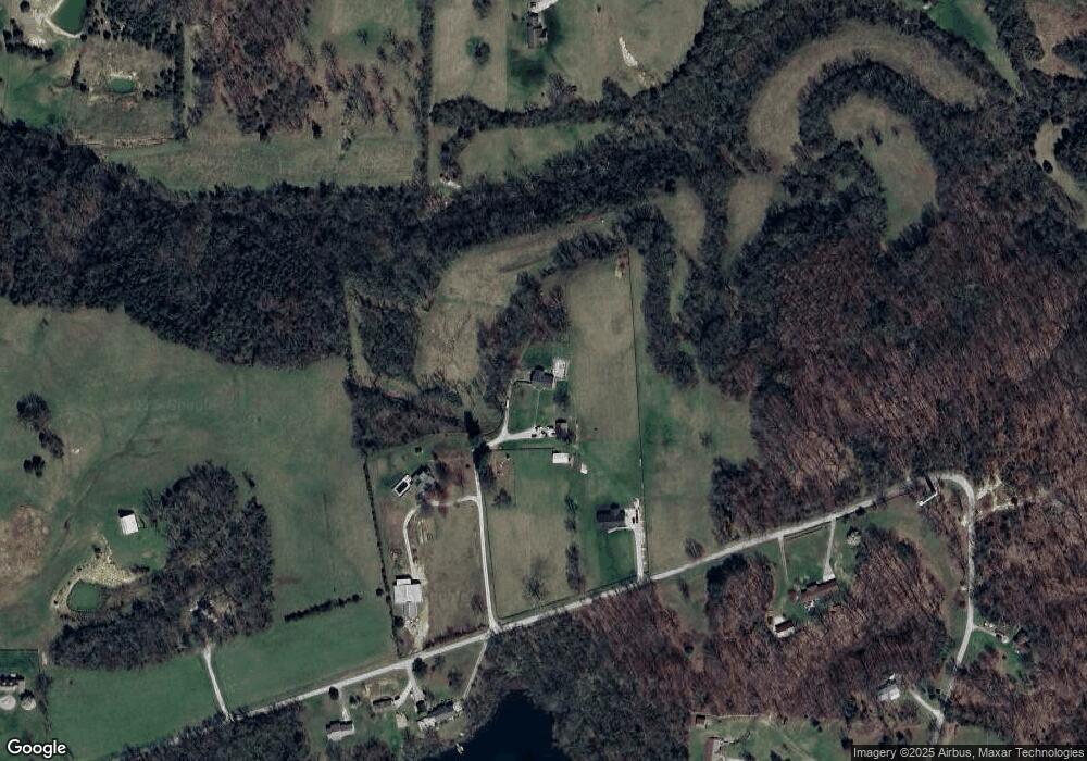
Map
- 430 Apache Dr
- 2001 Guynn Rd
- 435 Angel Rd
- 366 Brushy Fork Rd
- 416 Angel Rd
- 280 Pine Valley Rd
- 124 Bryants Trail
- 261 Paint Lick Rd
- 415 S Dogwood Dr
- 465 Opossum Kingdom Rd
- 1020 S Dogwood Dr
- 872 S Dogwood Dr
- 810 Pau Ferro Ct
- 113 George St
- 217 Harvest Park Dr
- 209 Harvest Park Dr
- 116 Berenwood Ln
- 406 Halcomb Ln
- 100, 106, 112, 118, Harvest Bend Trail
- 632 Walnut Creek Dr
Ask me questions while you tour the home.