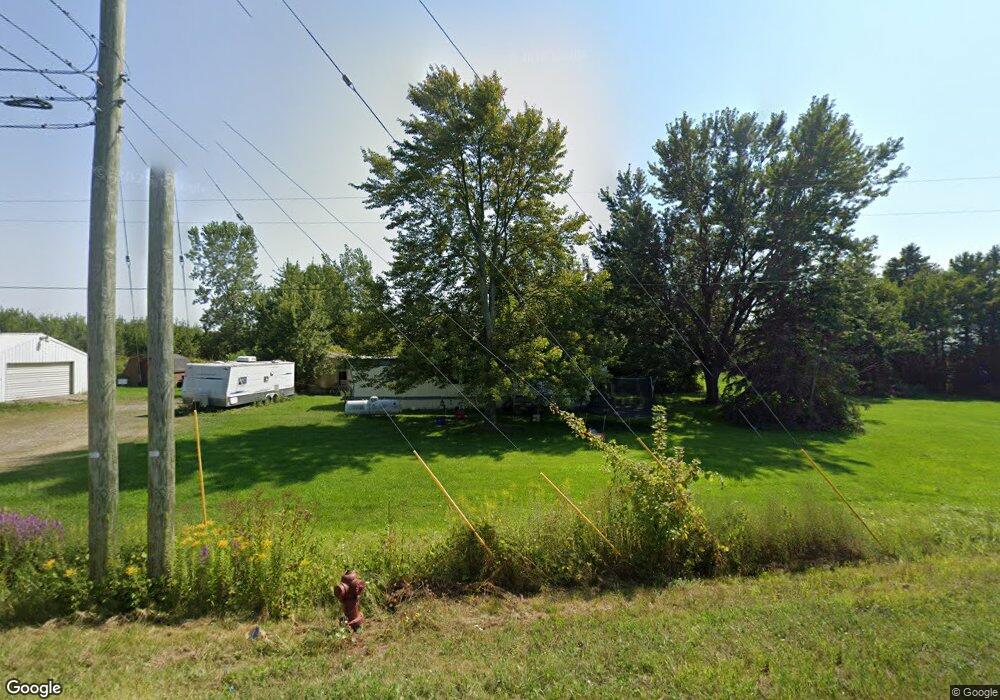
551 E State Rd Coldwater, MI 49036
Estimated Value: $86,000 - $202,000
2
Beds
1
Bath
600
Sq Ft
$272/Sq Ft
Est. Value
About This Home
This home is located at 551 E State Rd, Coldwater, MI 49036 and is currently estimated at $162,990, approximately $271 per square foot. 551 E State Rd is a home located in Branch County with nearby schools including Coldwater High School, Pansophia Academy, and St. Paul Lutheran School - Coldwater.
Ownership History
Date
Name
Owned For
Owner Type
Purchase Details
Closed on
Sep 11, 2023
Sold by
Wages Jack B and Wages Angela J
Bought by
Crews Properties Llc
Current Estimated Value
Purchase Details
Closed on
Mar 8, 2005
Sold by
Cox Arthur A and Cox Francis
Bought by
Wages Jack B and Wages Angela J
Home Financials for this Owner
Home Financials are based on the most recent Mortgage that was taken out on this home.
Original Mortgage
$84,500
Interest Rate
5.71%
Mortgage Type
Purchase Money Mortgage
Create a Home Valuation Report for This Property
The Home Valuation Report is an in-depth analysis detailing your home's value as well as a comparison with similar homes in the area
Home Values in the Area
Average Home Value in this Area
Purchase History
| Date | Buyer | Sale Price | Title Company |
|---|---|---|---|
| Crews Properties Llc | $175,000 | None Listed On Document | |
| Wages Jack B | -- | Branch County Abstract & Tit |
Source: Public Records
Mortgage History
| Date | Status | Borrower | Loan Amount |
|---|---|---|---|
| Previous Owner | Wages Jack B | $84,500 |
Source: Public Records
Tax History
| Year | Tax Paid | Tax Assessment Tax Assessment Total Assessment is a certain percentage of the fair market value that is determined by local assessors to be the total taxable value of land and additions on the property. | Land | Improvement |
|---|---|---|---|---|
| 2025 | $2,303 | $52,600 | $0 | $0 |
| 2024 | $21 | $51,000 | $0 | $0 |
| 2023 | $490 | $48,600 | $0 | $0 |
| 2022 | $2,056 | $47,000 | $0 | $0 |
| 2020 | -- | $44,700 | $0 | $0 |
| 2019 | -- | $45,000 | $0 | $0 |
| 2018 | -- | $45,600 | $0 | $0 |
| 2017 | -- | $43,800 | $0 | $0 |
| 2016 | -- | $41,200 | $0 | $0 |
| 2015 | -- | $40,100 | $0 | $0 |
| 2014 | -- | $40,100 | $0 | $0 |
| 2013 | -- | $41,600 | $0 | $0 |
Source: Public Records
Map
Nearby Homes
- 0 N Willowbrook Rd Unit 24042121
- 175 N Michigan Ave Unit 99
- 175 N Michigan Ave Unit 193
- 175 N Michigan Ave Unit 179
- 175 N Michigan Ave Unit 60
- 175 N Michigan Ave Unit 199
- 175 N Michigan Ave Unit 137
- 175 N Michigan Ave Unit 200
- 175 N Michigan Ave Unit 217
- 175 N Michigan Ave Unit 195
- 175 N Michigan Ave Unit 203
- 175 N Michigan Ave Unit 194
- 175 N Michigan Ave Unit 178
- 175 N Michigan Ave Unit 198
- 410 N Fiske Rd
- 56 Thompson Blvd
- 195 Cutter Ave
- VL N Fiske Rd
- 426 Morse St
- 40 Balfour Dr
- 561 E State Rd
- 564 E State Rd
- 460 N Willowbrook Rd
- 568 E State Rd
- 475 N Willowbrook Rd
- 570 E State Rd
- 574 E State Rd
- 577 E State Rd
- 464 N Willowbrook Rd
- 490 N Fiske Rd
- N Fiske Rd
- 470 N Fiske Rd
- 470 N Fiske Rd
- 604 E State Rd
- 501 N Michigan Rd
- 460 N Fiske Rd
- 453 N Fiske Rd
- 779 N Michigan Ave
- 0 N Willowbrook Rd Unit 62020003868
- 0 N Willowbrook Rd Unit 62020003869
Your Personal Tour Guide
Ask me questions while you tour the home.