551 Hildreth St Unit 12 Dracut, MA 01826
Estimated Value: $382,000 - $428,000
2
Beds
2
Baths
1,232
Sq Ft
$328/Sq Ft
Est. Value
About This Home
This home is located at 551 Hildreth St Unit 12, Dracut, MA 01826 and is currently estimated at $404,255, approximately $328 per square foot. 551 Hildreth St Unit 12 is a home located in Middlesex County with nearby schools including George H. Englesby Elementary School, Richardson Middle School, and Dracut Senior High School.
Ownership History
Date
Name
Owned For
Owner Type
Purchase Details
Closed on
Nov 7, 1988
Sold by
Rizzo Robt W
Bought by
Cutter Joanne M
Current Estimated Value
Home Financials for this Owner
Home Financials are based on the most recent Mortgage that was taken out on this home.
Original Mortgage
$71,000
Interest Rate
10.33%
Mortgage Type
Purchase Money Mortgage
Create a Home Valuation Report for This Property
The Home Valuation Report is an in-depth analysis detailing your home's value as well as a comparison with similar homes in the area
Home Values in the Area
Average Home Value in this Area
Purchase History
| Date | Buyer | Sale Price | Title Company |
|---|---|---|---|
| Cutter Joanne M | $116,000 | -- |
Source: Public Records
Mortgage History
| Date | Status | Borrower | Loan Amount |
|---|---|---|---|
| Open | Cutter Joanne M | $161,000 | |
| Closed | Cutter Joanne M | $71,000 |
Source: Public Records
Tax History Compared to Growth
Tax History
| Year | Tax Paid | Tax Assessment Tax Assessment Total Assessment is a certain percentage of the fair market value that is determined by local assessors to be the total taxable value of land and additions on the property. | Land | Improvement |
|---|---|---|---|---|
| 2025 | $3,537 | $349,500 | $0 | $349,500 |
| 2024 | $3,523 | $337,100 | $0 | $337,100 |
| 2023 | $3,474 | $300,000 | $0 | $300,000 |
| 2022 | $3,179 | $258,700 | $0 | $258,700 |
| 2021 | $3,113 | $239,300 | $0 | $239,300 |
| 2020 | $2,738 | $205,100 | $0 | $205,100 |
| 2019 | $2,558 | $186,000 | $0 | $186,000 |
| 2018 | $2,600 | $183,900 | $0 | $183,900 |
| 2017 | $2,571 | $183,900 | $0 | $183,900 |
| 2016 | $2,609 | $175,800 | $0 | $175,800 |
| 2015 | $2,498 | $167,300 | $0 | $167,300 |
| 2014 | $2,233 | $154,100 | $0 | $154,100 |
Source: Public Records
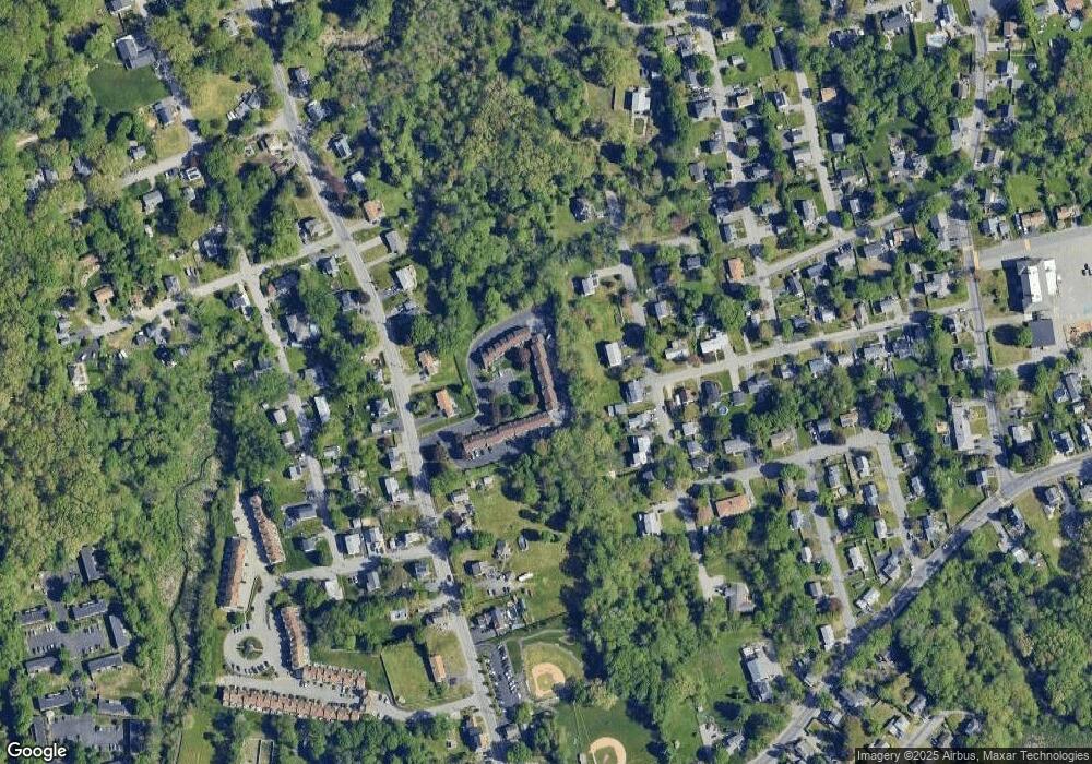
Map
Nearby Homes
- 81 Spring Park Ave
- 18 Stone St
- 363 Hildreth St Unit 11
- 20 Dean Ave
- 345 Hildreth St Unit 14
- 349 Hildreth St Unit 16
- 100 Cass Ave Unit A13
- 108 Billings St
- 1572 Bridge St
- 2 Sutherland St
- 157 Old Rd
- 37 Beaudry St
- 174 Old Rd
- 195 Ludlam St
- 190 Old Rd
- 11 Mountain View Dr
- 3 Hamel Place
- 87 Lilley Ave
- 26 Frank St
- 14 Louis Farm Rd Unit 14
- 551 Hildreth St Unit 29
- 551 Hildreth St Unit 28
- 551 Hildreth St Unit 27
- 551 Hildreth St Unit 26
- 551 Hildreth St Unit 25
- 551 Hildreth St Unit 24
- 551 Hildreth St Unit 23
- 551 Hildreth St Unit 22
- 551 Hildreth St Unit 21
- 551 Hildreth St Unit 20
- 551 Hildreth St Unit 19
- 551 Hildreth St Unit 18
- 551 Hildreth St Unit 17
- 551 Hildreth St Unit 16
- 551 Hildreth St Unit 15
- 551 Hildreth St Unit 14
- 551 Hildreth St Unit 11
- 551 Hildreth St Unit 10
- 551 Hildreth St Unit 9
- 551 Hildreth St Unit 8