551 Jim Allen Rd Box Springs, GA 31801
Estimated Value: $97,000 - $161,000
2
Beds
2
Baths
1,512
Sq Ft
$87/Sq Ft
Est. Value
About This Home
This home is located at 551 Jim Allen Rd, Box Springs, GA 31801 and is currently estimated at $131,516, approximately $86 per square foot. 551 Jim Allen Rd is a home located in Marion County with nearby schools including L.K. Moss Elementary School and Marion County Middle/High School.
Ownership History
Date
Name
Owned For
Owner Type
Purchase Details
Closed on
May 7, 2019
Sold by
Pennymac Loan Svcs Llc
Bought by
Secretary Of Housing And Urban Developme
Current Estimated Value
Purchase Details
Closed on
Jan 6, 2006
Sold by
Lee Franklin W
Bought by
Wallace Kenneth C
Home Financials for this Owner
Home Financials are based on the most recent Mortgage that was taken out on this home.
Original Mortgage
$71,872
Interest Rate
6.22%
Mortgage Type
FHA
Purchase Details
Closed on
Nov 22, 1989
Bought by
Lee Franklin
Create a Home Valuation Report for This Property
The Home Valuation Report is an in-depth analysis detailing your home's value as well as a comparison with similar homes in the area
Home Values in the Area
Average Home Value in this Area
Purchase History
| Date | Buyer | Sale Price | Title Company |
|---|---|---|---|
| Secretary Of Housing And Urban Developme | $59,159 | -- | |
| Wallace Kenneth C | $73,000 | -- | |
| Lee Franklin | -- | -- |
Source: Public Records
Mortgage History
| Date | Status | Borrower | Loan Amount |
|---|---|---|---|
| Previous Owner | Wallace Kenneth C | $71,872 |
Source: Public Records
Tax History Compared to Growth
Tax History
| Year | Tax Paid | Tax Assessment Tax Assessment Total Assessment is a certain percentage of the fair market value that is determined by local assessors to be the total taxable value of land and additions on the property. | Land | Improvement |
|---|---|---|---|---|
| 2024 | $663 | $30,402 | $8,146 | $22,256 |
| 2023 | $677 | $30,402 | $8,146 | $22,256 |
| 2022 | $658 | $29,452 | $8,146 | $21,306 |
| 2021 | $655 | $29,452 | $8,146 | $21,306 |
| 2020 | $703 | $29,452 | $8,146 | $21,306 |
| 2019 | $657 | $29,452 | $8,146 | $21,306 |
| 2018 | $658 | $29,452 | $8,146 | $21,306 |
| 2017 | $657 | $29,452 | $8,146 | $21,306 |
| 2016 | $683 | $31,000 | $9,694 | $21,306 |
| 2015 | -- | $31,000 | $9,694 | $21,306 |
| 2014 | -- | $31,000 | $9,694 | $21,306 |
| 2013 | -- | $30,999 | $9,693 | $21,306 |
Source: Public Records
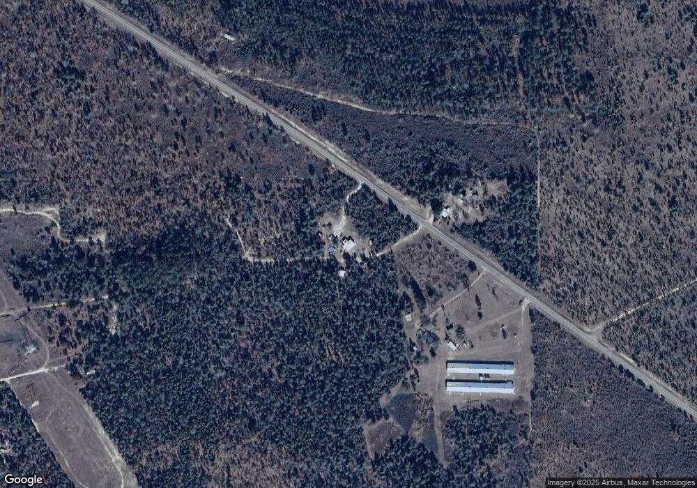
Map
Nearby Homes
- 1300 Dr Brooks Rd
- 1310 Doctor Brooks Rd
- 111 Sunnyside Dr
- 0 Pineknot Rd
- 349 New Hope Rd
- 641 Cusseta Hwy
- 5264 Ga Highway 41 N
- 245 Dog Track Rd
- 1792 Bethlehem Rd
- 6842 Ga Highway 240 N Unit TRACT 1
- 422 Baker Creek Dr
- 1550 Hut Rd
- 63 Spring St
- 64 Spring St
- 0 Fuller Rd Unit 22846458
- 103 Appaloosa Rd
- 2700 Ga-355
- 2450 Fort Perry Rd
- 65 Saddle Trail
- 322 Moores Chapel Rd
- 495 Jim Allen Rd
- 524 Jim Allen Rd
- 526 Jim Allen Rd
- 2376 Pineknot Rd
- 2460 Pineknot Rd
- 2347 Pineknot Rd
- 2495 Pineknot Rd
- 2504 Pineknot Rd
- 0 Eunice Dr Unit 166723
- 0 Eunice Dr Unit 7056033
- 0 Eunice Dr Unit 3141086
- 2499 Pineknot Rd
- 22 Lillie Dr
- 167 Anderson Rd
- 44 Eunice Dr
- 92 Lillie Dr
- 2689 Pineknot Rd
- 162 Eunice Dr
- 133 Lillie Dr
- 155 Lillie Dr