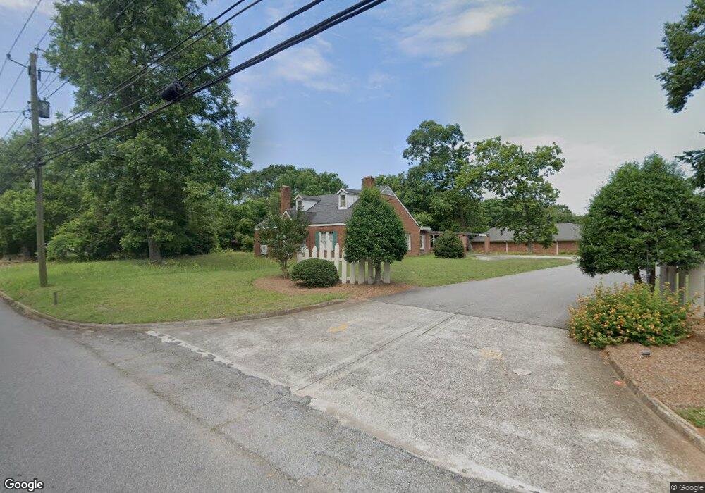
551 N Cherokee Rd Social Circle, GA 30025
Estimated Value: $1,770,033
--
Bed
--
Bath
5,198
Sq Ft
$341/Sq Ft
Est. Value
About This Home
This home is located at 551 N Cherokee Rd, Social Circle, GA 30025 and is currently estimated at $1,770,033, approximately $340 per square foot. 551 N Cherokee Rd is a home located in Walton County with nearby schools including Social Circle Primary School, Social Circle Elementary School, and Social Circle Middle School.
Ownership History
Date
Name
Owned For
Owner Type
Purchase Details
Closed on
May 19, 2017
Sold by
Bank Of Madison
Bought by
Cherokee Rd Partners Llc
Current Estimated Value
Home Financials for this Owner
Home Financials are based on the most recent Mortgage that was taken out on this home.
Original Mortgage
$592,750
Interest Rate
3.97%
Mortgage Type
Commercial
Purchase Details
Closed on
Sep 3, 2013
Sold by
Mathews Rosemary B
Bought by
Bank Of Madison
Create a Home Valuation Report for This Property
The Home Valuation Report is an in-depth analysis detailing your home's value as well as a comparison with similar homes in the area
Home Values in the Area
Average Home Value in this Area
Purchase History
| Date | Buyer | Sale Price | Title Company |
|---|---|---|---|
| Cherokee Rd Partners Llc | $815,000 | -- | |
| Bank Of Madison | -- | -- |
Source: Public Records
Mortgage History
| Date | Status | Borrower | Loan Amount |
|---|---|---|---|
| Closed | Cherokee Rd Partners Llc | $592,750 | |
| Closed | Cherokee Rd Partners Llc | $100,000 |
Source: Public Records
Tax History Compared to Growth
Tax History
| Year | Tax Paid | Tax Assessment Tax Assessment Total Assessment is a certain percentage of the fair market value that is determined by local assessors to be the total taxable value of land and additions on the property. | Land | Improvement |
|---|---|---|---|---|
| 2024 | $7,289 | $204,920 | $12,600 | $192,320 |
| 2023 | $7,303 | $201,960 | $12,600 | $189,360 |
| 2022 | $2,065 | $198,280 | $11,440 | $186,840 |
| 2021 | $2,065 | $198,280 | $11,440 | $186,840 |
| 2020 | $2,117 | $198,280 | $11,440 | $186,840 |
| 2019 | $2,162 | $188,320 | $11,640 | $176,680 |
| 2018 | $2,054 | $188,320 | $11,640 | $176,680 |
| 2017 | $6,019 | $144,040 | $11,600 | $132,440 |
| 2016 | $1,632 | $144,120 | $11,600 | $132,520 |
| 2015 | $1,620 | $144,120 | $11,600 | $132,520 |
| 2014 | $1,714 | $144,400 | $11,600 | $132,800 |
Source: Public Records
Map
Nearby Homes
- 310 Crossroads Dr
- 684 N Cherokee Rd
- 690 Park Place Way
- 670 Park Place Way
- 695 Park Place Way
- 931 Park Place St
- 815 Crossroads Ct
- 939 Park Place St
- 821 Crossroads Ct
- 381 Crossroads Dr
- 960 Park Place St
- 228 Oak Dr NE
- 413 Crossroads Dr
- 843 Crossroads Ct
- 853 Crossroads Ct
- 741 Jackson Ct
- 1302 N Cherokee Rd
- 1244 Morrow Dr
- 341 Boxwood St
- 2049 Emily Dr
- 549 N Cherokee Rd
- 535 N Cherokee Rd
- 575 N Cherokee Rd
- 525 N Cherokee Rd
- 591 N Cherokee Rd
- 171 Carver Dr
- 170 Carver Dr
- 605 N Cherokee Rd
- 511 N Cherokee Rd
- 546 N Cherokee Rd
- 252 Carver Dr
- 526 N Cherokee Rd
- 209 Carver Dr
- 209 Carver Dr
- 30 Park Place Trail
- 512 N Cherokee Rd
- 247 Carver Dr
- 637 N Cherokee Rd
- 229 Carver Dr
- 31 Park Place Trail