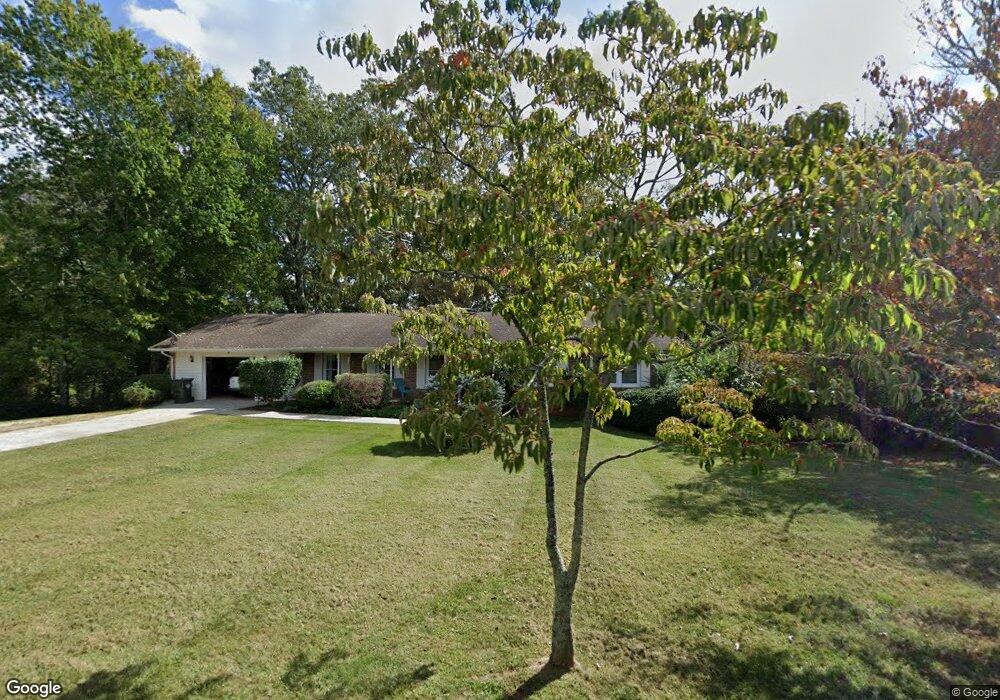
551 N Hall Rd Dahlonega, GA 30533
Estimated Value: $376,000 - $634,000
5
Beds
3
Baths
3,276
Sq Ft
$138/Sq Ft
Est. Value
About This Home
This home is located at 551 N Hall Rd, Dahlonega, GA 30533 and is currently estimated at $451,235, approximately $137 per square foot. 551 N Hall Rd is a home located in Lumpkin County with nearby schools including Clay County Middle School and Lumpkin County High School.
Ownership History
Date
Name
Owned For
Owner Type
Purchase Details
Closed on
Jul 17, 2013
Sold by
Vangalder Gloria M
Bought by
Larsen Brian R
Current Estimated Value
Purchase Details
Closed on
Sep 5, 2008
Sold by
Hood Jack B
Bought by
Vangalder Gloria M
Home Financials for this Owner
Home Financials are based on the most recent Mortgage that was taken out on this home.
Original Mortgage
$143,655
Interest Rate
6.49%
Mortgage Type
New Conventional
Purchase Details
Closed on
Jun 1, 1977
Bought by
Hood Mary E
Create a Home Valuation Report for This Property
The Home Valuation Report is an in-depth analysis detailing your home's value as well as a comparison with similar homes in the area
Home Values in the Area
Average Home Value in this Area
Purchase History
| Date | Buyer | Sale Price | Title Company |
|---|---|---|---|
| Larsen Brian R | $145,000 | -- | |
| Vangalder Gloria M | $179,569 | -- | |
| Hood Mary E | -- | -- |
Source: Public Records
Mortgage History
| Date | Status | Borrower | Loan Amount |
|---|---|---|---|
| Previous Owner | Vangalder Gloria M | $143,655 |
Source: Public Records
Tax History Compared to Growth
Tax History
| Year | Tax Paid | Tax Assessment Tax Assessment Total Assessment is a certain percentage of the fair market value that is determined by local assessors to be the total taxable value of land and additions on the property. | Land | Improvement |
|---|---|---|---|---|
| 2024 | $2,248 | $79,505 | $11,167 | $68,338 |
| 2023 | $2,186 | $75,835 | $11,167 | $64,668 |
| 2022 | $2,357 | $77,160 | $11,167 | $65,993 |
| 2021 | $2,250 | $68,953 | $11,167 | $57,786 |
| 2020 | $2,297 | $67,782 | $11,167 | $56,615 |
| 2019 | $2,309 | $67,782 | $11,167 | $56,615 |
| 2018 | $2,239 | $61,525 | $11,167 | $50,358 |
| 2017 | $2,381 | $64,332 | $11,167 | $53,165 |
| 2016 | $2,313 | $61,150 | $11,167 | $49,983 |
| 2015 | $1,877 | $61,150 | $11,167 | $49,983 |
| 2014 | $1,877 | $62,059 | $11,167 | $50,892 |
| 2013 | -- | $63,876 | $11,167 | $52,709 |
Source: Public Records
Map
Nearby Homes
- 490 N Hall Rd
- 253 Blair Ridge Rd
- 0 Dawsonville Hwy Unit 10631159
- 00 Dawsonville Hwy
- 120 Blair Ridge Rd
- 121 Blair Ridge Rd
- 399 N Chestatee St
- 94 Mountain View Dr
- 549 Ivy Terrace
- 315 Church St
- 132 J Mountain Dr
- 95 Jones St
- 168 W Main St
- 22 Honeysuckle Ln
- 0 S Chestatee St Unit 10619536
- 0 Highway 19 N Unit 10594984
- 114 Funaro Ln
- 97 Beaumont Dr
- 1202 Oak Grove Rd
- 502 Wimpy Mill Rd