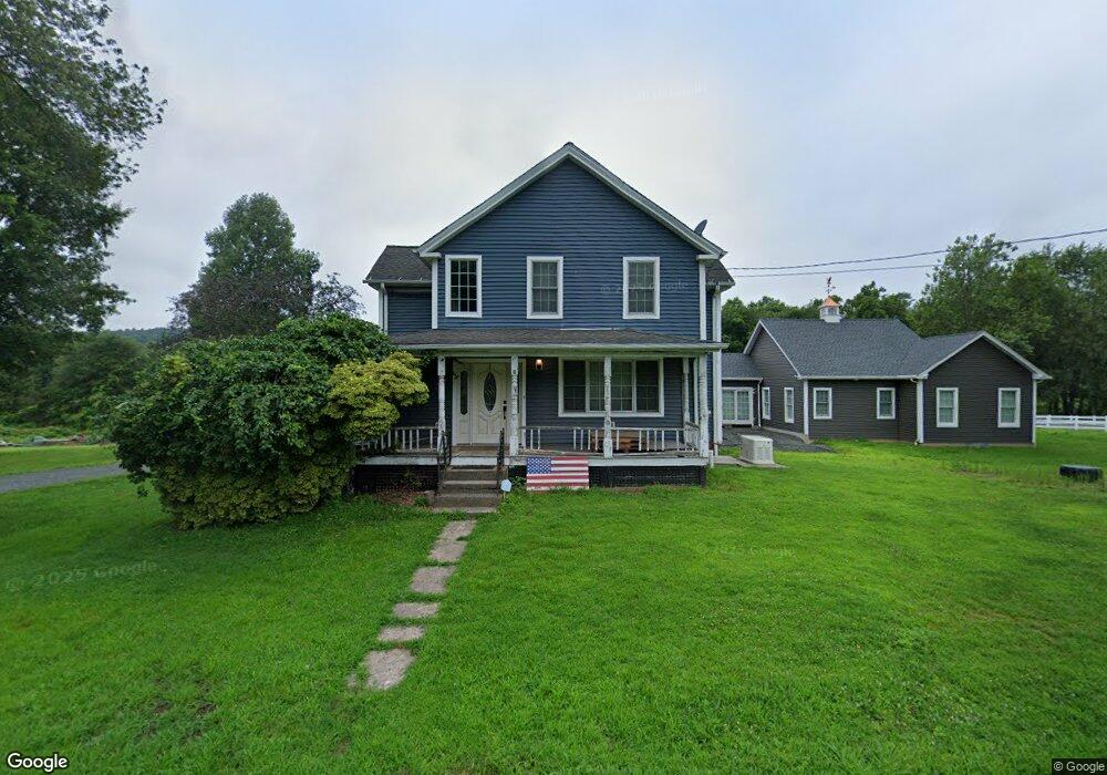
551 N Stone St West Suffield, CT 06093
Estimated Value: $648,000 - $990,622
3
Beds
3
Baths
2,884
Sq Ft
$286/Sq Ft
Est. Value
About This Home
This home is located at 551 N Stone St, West Suffield, CT 06093 and is currently estimated at $824,156, approximately $285 per square foot. 551 N Stone St is a home located in Hartford County with nearby schools including A. Ward Spaulding School, Mcalister Intermediate School, and Suffield Middle School.
Ownership History
Date
Name
Owned For
Owner Type
Purchase Details
Closed on
Oct 12, 2004
Sold by
Evans Richard and Evans Doris
Bought by
Farhad Manasir
Current Estimated Value
Home Financials for this Owner
Home Financials are based on the most recent Mortgage that was taken out on this home.
Original Mortgage
$384,930
Outstanding Balance
$191,530
Interest Rate
5.84%
Estimated Equity
$632,626
Purchase Details
Closed on
Jun 16, 2003
Sold by
Evans Richard and Evans Doris
Bought by
Seymour Neal
Create a Home Valuation Report for This Property
The Home Valuation Report is an in-depth analysis detailing your home's value as well as a comparison with similar homes in the area
Home Values in the Area
Average Home Value in this Area
Purchase History
| Date | Buyer | Sale Price | Title Company |
|---|---|---|---|
| Farhad Manasir | $549,900 | -- | |
| Seymour Neal | $250,000 | -- |
Source: Public Records
Mortgage History
| Date | Status | Borrower | Loan Amount |
|---|---|---|---|
| Open | Seymour Neal | $200,000 | |
| Open | Seymour Neal | $384,930 | |
| Previous Owner | Seymour Neal | $100,000 |
Source: Public Records
Tax History
| Year | Tax Paid | Tax Assessment Tax Assessment Total Assessment is a certain percentage of the fair market value that is determined by local assessors to be the total taxable value of land and additions on the property. | Land | Improvement |
|---|---|---|---|---|
| 2025 | $13,316 | $568,820 | $96,810 | $472,010 |
| 2024 | $12,872 | $568,820 | $96,810 | $472,010 |
| 2023 | $8,058 | $281,660 | $106,940 | $174,720 |
| 2022 | $8,058 | $281,660 | $106,940 | $174,720 |
| 2021 | $8,067 | $281,660 | $106,940 | $174,720 |
| 2020 | $8,067 | $281,660 | $106,940 | $174,720 |
| 2019 | $8,127 | $282,990 | $106,940 | $176,050 |
| 2018 | $7,565 | $258,020 | $83,230 | $174,790 |
| 2017 | $7,454 | $258,020 | $83,230 | $174,790 |
| 2016 | $7,276 | $258,020 | $83,230 | $174,790 |
| 2015 | $7,168 | $258,020 | $83,230 | $174,790 |
| 2014 | $6,998 | $258,020 | $83,230 | $174,790 |
Source: Public Records
Map
Nearby Homes
- 1054 Mountain Rd
- 2 Stratton Farms Rd
- 187 Griffin Rd
- 15 Austin Brook Dr
- 7 Rising Corner Rd
- 200 N Main St
- 371 Lakeview Dr
- 191 N Main St
- 384 Pine St
- 02 S Grand St
- 01 S Grand St
- 4066 Mountain Rd
- 485 Mountain Rd
- 3 Evergreen St
- 534 S West St
- 420 Halladay Ave W
- 491 S West St
- 141 Point Grove Rd
- 15 Downing Way
- 24 Coppergate Rd
Your Personal Tour Guide
Ask me questions while you tour the home.