Estimated Value: $483,849 - $566,000
4
Beds
2
Baths
1,812
Sq Ft
$294/Sq Ft
Est. Value
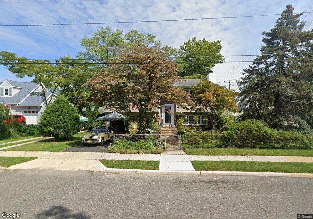
About This Home
This home is located at 551 New Jersey Ave, Brick, NJ 08724 and is currently estimated at $531,962, approximately $293 per square foot. 551 New Jersey Ave is a home located in Ocean County with nearby schools including Lanes Mill Elementary School, Veterans Memorial Middle School, and Brick Township Memorial High School.
Ownership History
Date
Name
Owned For
Owner Type
Purchase Details
Closed on
Aug 15, 2008
Sold by
Cassell Alice
Bought by
Cassell Alice
Current Estimated Value
Home Financials for this Owner
Home Financials are based on the most recent Mortgage that was taken out on this home.
Original Mortgage
$103,000
Outstanding Balance
$67,469
Interest Rate
6.29%
Mortgage Type
New Conventional
Estimated Equity
$464,493
Purchase Details
Closed on
Aug 28, 1996
Sold by
Suszko Olga
Bought by
Cassell Joseph and Cassell Alice
Create a Home Valuation Report for This Property
The Home Valuation Report is an in-depth analysis detailing your home's value as well as a comparison with similar homes in the area
Home Values in the Area
Average Home Value in this Area
Purchase History
| Date | Buyer | Sale Price | Title Company |
|---|---|---|---|
| Cassell Alice | -- | New Jersey Title Ins Co | |
| Cassell Joseph | $88,000 | -- |
Source: Public Records
Mortgage History
| Date | Status | Borrower | Loan Amount |
|---|---|---|---|
| Open | Cassell Alice | $103,000 |
Source: Public Records
Tax History Compared to Growth
Tax History
| Year | Tax Paid | Tax Assessment Tax Assessment Total Assessment is a certain percentage of the fair market value that is determined by local assessors to be the total taxable value of land and additions on the property. | Land | Improvement |
|---|---|---|---|---|
| 2025 | $6,030 | $230,600 | $114,300 | $116,300 |
| 2024 | $5,733 | $230,600 | $114,300 | $116,300 |
| 2023 | $5,657 | $230,600 | $114,300 | $116,300 |
| 2022 | $5,657 | $230,600 | $114,300 | $116,300 |
| 2021 | $5,541 | $230,600 | $114,300 | $116,300 |
| 2020 | $5,465 | $230,600 | $114,300 | $116,300 |
| 2019 | $5,359 | $230,600 | $114,300 | $116,300 |
| 2018 | $5,237 | $230,600 | $114,300 | $116,300 |
| 2017 | $5,096 | $230,600 | $114,300 | $116,300 |
| 2016 | $5,059 | $230,600 | $114,300 | $116,300 |
| 2015 | $4,926 | $230,600 | $114,300 | $116,300 |
| 2014 | $4,877 | $230,600 | $114,300 | $116,300 |
Source: Public Records
Map
Nearby Homes
- 556 Kirk Ln
- 580 New Jersey Ave
- 549 Pennsylvania Ave
- 542 California Ave
- 526 New Jersey Ave
- 682 Millbrook Rd
- 509 California Ave
- 2110 Lanes Mill Rd
- 79 Greenwood Loop Rd Unit 623
- 595 Carolina Ave
- 720 Maidenstone Dr
- 718 Millbrook Rd
- 491 Alexander Ave
- 36 Creek Rd Unit 36
- 744 Millbrook Rd
- 832 Constitution Dr
- 922 Quincy Dr
- 2285 Lanes Mill Rd
- 65 Creek Rd Unit 419
- 131 Briar Mills Dr
- 2164 Lanes Mill Rd
- 553 New Jersey Ave
- 2158 Lanes Mill Rd
- 552 Colorado Ave
- 555 New Jersey Ave
- 558 New Jersey Ave
- 549 New Jersey Ave
- 558 Colorado Ave
- 550 Colorado Ave
- 562 New Jersey Ave
- 550 New Jersey Ave
- 2154 Lanes Mill Rd
- 562 Colorado Ave
- 562A Colorado Ave
- 561 New Jersey Ave
- 546 Colorado Ave
- 564 New Jersey Ave
- 557 Pennsylvania Ave
- 543 New Jersey Ave
- 2174 Lanes Mill Rd