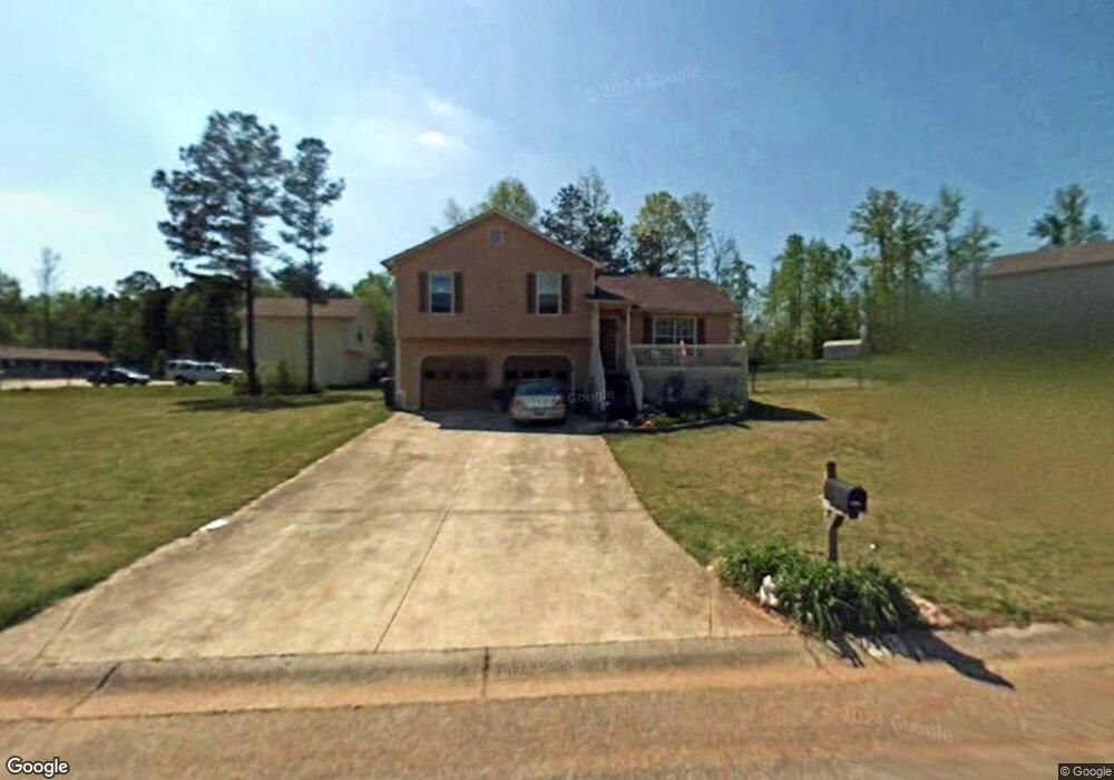
551 Rustin Dr Dallas, GA 30157
Estimated Value: $241,364 - $275,000
3
Beds
2
Baths
1,104
Sq Ft
$234/Sq Ft
Est. Value
About This Home
This home is located at 551 Rustin Dr, Dallas, GA 30157 and is currently estimated at $258,841, approximately $234 per square foot. 551 Rustin Dr is a home located in Paulding County with nearby schools including Union Elementary School, Carl Scoggins Sr. Middle School, and South Paulding High School.
Ownership History
Date
Name
Owned For
Owner Type
Purchase Details
Closed on
Nov 12, 2024
Sold by
Tah 2017 2 Borrower Llc
Bought by
Tricon Sfr 2024 4 Borrower Llc
Current Estimated Value
Purchase Details
Closed on
Dec 20, 2017
Sold by
2015B Property Owner Llc
Bought by
Tah 2017 2 Borrower Llc
Purchase Details
Closed on
Apr 1, 2015
Sold by
American Home Real Estate Part
Bought by
2015B Property Owner Llc
Purchase Details
Closed on
Oct 15, 2012
Sold by
Kelley Irene
Bought by
American Home Real Est Partnership Iii
Purchase Details
Closed on
Oct 2, 2012
Sold by
Kelley Irene
Bought by
The American Home
Purchase Details
Closed on
Apr 16, 2007
Sold by
Kelley Robert J
Purchase Details
Closed on
Apr 11, 2007
Purchase Details
Closed on
Aug 29, 2001
Sold by
Ted Construction Co Inc
Create a Home Valuation Report for This Property
The Home Valuation Report is an in-depth analysis detailing your home's value as well as a comparison with similar homes in the area
Home Values in the Area
Average Home Value in this Area
Purchase History
| Date | Buyer | Sale Price | Title Company |
|---|---|---|---|
| Tricon Sfr 2024 4 Borrower Llc | $3,414,000 | -- | |
| Tah 2017 2 Borrower Llc | -- | -- | |
| 2015B Property Owner Llc | $7,583,017 | -- | |
| American Home Real Est Partnership Iii | $30,000 | -- | |
| The American Home | $30,000 | -- | |
| -- | -- | -- | |
| -- | -- | -- | |
| -- | $79,900 | -- |
Source: Public Records
Tax History
| Year | Tax Paid | Tax Assessment Tax Assessment Total Assessment is a certain percentage of the fair market value that is determined by local assessors to be the total taxable value of land and additions on the property. | Land | Improvement |
|---|---|---|---|---|
| 2025 | $2,436 | $97,936 | $12,000 | $85,936 |
| 2024 | $2,436 | $97,936 | $12,000 | $85,936 |
| 2023 | $2,457 | $94,264 | $12,000 | $82,264 |
| 2022 | $2,235 | $85,740 | $12,000 | $73,740 |
| 2021 | $1,853 | $63,760 | $8,000 | $55,760 |
| 2020 | $1,748 | $58,844 | $8,000 | $50,844 |
| 2019 | $1,633 | $54,208 | $8,000 | $46,208 |
| 2018 | $1,398 | $46,396 | $8,000 | $38,396 |
| 2017 | $1,211 | $39,640 | $6,000 | $33,640 |
| 2016 | $1,050 | $34,724 | $6,000 | $28,724 |
| 2015 | $948 | $30,800 | $6,000 | $24,800 |
| 2014 | $557 | $17,648 | $6,000 | $11,648 |
| 2013 | -- | $13,920 | $6,000 | $7,920 |
Source: Public Records
Map
Nearby Homes
- 564 Rustin Dr
- 41 Canter Ln
- 177 Rustin Dr
- 0 Rustin Dr Unit 10617842
- 0 Rustin Dr Unit 7657021
- 128 Tanner Dr
- 393 Rc Thompson Rd
- 453 Mulberry Rock Rd
- 391 Mulberry Rock Rd
- 8277 Buchanan Hwy
- 320 Twin Oaks Ln
- 281 Harmony Woods Dr
- 0 Old Yorkville Rd Unit 10574003
- 232 Cynthia Ct
- 292 Harmony Woods Dr
- 42 Bryan Miller Rd
- 161 Rachel Dr
- 163 Rachel Dr
- 723 Mulberry Rock Rd
- 59 Mullberry Path
Your Personal Tour Guide
Ask me questions while you tour the home.