551 S 1080 E Smithfield, UT 84335
Estimated Value: $591,000 - $609,000
3
Beds
3
Baths
2,858
Sq Ft
$210/Sq Ft
Est. Value
About This Home
This home is located at 551 S 1080 E, Smithfield, UT 84335 and is currently estimated at $600,756, approximately $210 per square foot. 551 S 1080 E is a home located in Cache County with nearby schools including Sunrise School, Cedar Ridge School, and North Cache Middle School.
Ownership History
Date
Name
Owned For
Owner Type
Purchase Details
Closed on
Feb 23, 2021
Sold by
Owen Pauleen
Bought by
Owen Randolph C and Owen Pauleen B
Current Estimated Value
Home Financials for this Owner
Home Financials are based on the most recent Mortgage that was taken out on this home.
Original Mortgage
$258,000
Outstanding Balance
$188,602
Interest Rate
2.7%
Mortgage Type
New Conventional
Estimated Equity
$412,154
Purchase Details
Closed on
Dec 10, 2019
Sold by
Smithfield Ridges Llc
Bought by
Owen Randolph C and Owen Pauleen B
Purchase Details
Closed on
Apr 7, 2017
Sold by
J Thomas Homes Llc
Bought by
Owen Randolph C and Owen Pauleen B
Home Financials for this Owner
Home Financials are based on the most recent Mortgage that was taken out on this home.
Original Mortgage
$245,140
Interest Rate
4.21%
Mortgage Type
New Conventional
Create a Home Valuation Report for This Property
The Home Valuation Report is an in-depth analysis detailing your home's value as well as a comparison with similar homes in the area
Home Values in the Area
Average Home Value in this Area
Purchase History
| Date | Buyer | Sale Price | Title Company |
|---|---|---|---|
| Owen Randolph C | -- | American Secure Title Logan | |
| Owen Pauleen | -- | American Secure Title Logan | |
| Owen Randolph C | -- | Hickman Land Title Co | |
| Owen Randolph C | -- | None Available |
Source: Public Records
Mortgage History
| Date | Status | Borrower | Loan Amount |
|---|---|---|---|
| Open | Owen Pauleen | $258,000 | |
| Previous Owner | Owen Randolph C | $245,140 |
Source: Public Records
Tax History
| Year | Tax Paid | Tax Assessment Tax Assessment Total Assessment is a certain percentage of the fair market value that is determined by local assessors to be the total taxable value of land and additions on the property. | Land | Improvement |
|---|---|---|---|---|
| 2025 | $2,506 | $335,500 | $0 | $0 |
| 2024 | $2,638 | $331,300 | $0 | $0 |
| 2023 | $2,772 | $329,230 | $0 | $0 |
| 2022 | $2,818 | $329,230 | $0 | $0 |
| 2021 | $2,079 | $371,088 | $80,000 | $291,088 |
| 2020 | $2,000 | $333,120 | $80,000 | $253,120 |
| 2019 | $1,972 | $313,120 | $60,000 | $253,120 |
| 2018 | $1,863 | $286,000 | $60,000 | $226,000 |
| 2017 | $715 | $60,000 | $0 | $0 |
Source: Public Records
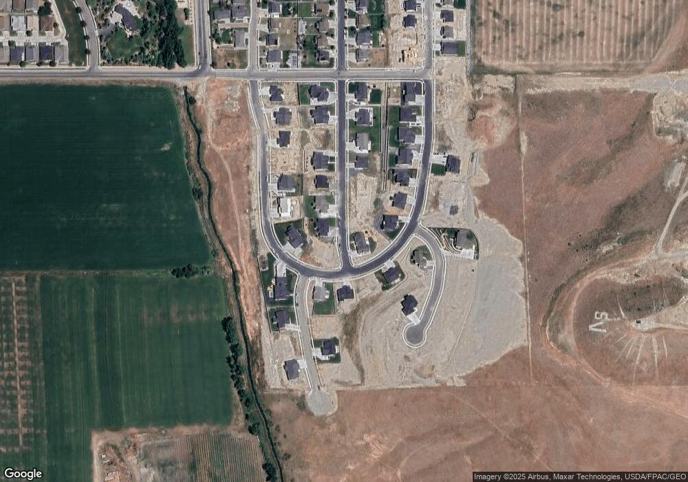
Map
Nearby Homes
- 577 S 1140 E Unit 1202
- 641 S 1080 E Unit 44
- 434 S Cardon Ridge Dr
- 670 S 1080 E Unit 37
- 413 S 1150 E Unit 1101
- 628 S 1080 E
- 722 S 1040 E Unit 21
- 738 S 1150 E Unit 9
- 1092 E 300 S
- 776 S 1150 E
- 127 S 830 E Unit 304
- 12 S 1150 E Unit 8
- 111 S 1250 E
- 2 S 1200 E Unit 15
- 13 N 1150 E
- 396 S 455 E
- 668 N 800 E
- 555 N 750 E
- 641 S 380 E
- 907 E 630 N
- 541 S 1080 E
- 541 S 1080 E Unit 914
- 557 S 1080 E
- 531 S 1080 E Unit 915
- 565 S 1080 E
- 732 1080 E Unit 19
- 544 S Cardon Ridge Dr
- 556 S Cardon Ridge Dr
- 534 S Cardon Ridge Dr
- 523 S 1080 E
- 562 S Cardon Ridge Dr
- 554 S 1080 E
- 573 S 1080 E
- 542 S 1080 E
- 526 S Cardon Ridge Dr
- 532 S 1080 E
- 564 S 1080 E
- 511 S 1080 E
- 568 S Cardon Ridge Dr
- 520 S Cardon Ridge Dr
Your Personal Tour Guide
Ask me questions while you tour the home.