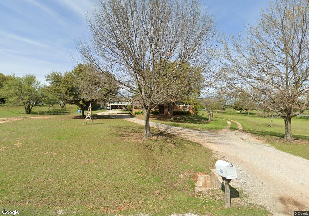
551 Shady Oak Dr Unit 6 Weatherford, TX 76087
Estimated Value: $347,000 - $462,000
--
Bed
--
Bath
1,692
Sq Ft
$233/Sq Ft
Est. Value
About This Home
This home is located at 551 Shady Oak Dr Unit 6, Weatherford, TX 76087 and is currently estimated at $393,522, approximately $232 per square foot. 551 Shady Oak Dr Unit 6 is a home located in Parker County with nearby schools including Wright Elementary School, Hall Middle School, and Weatherford High School.
Ownership History
Date
Name
Owned For
Owner Type
Purchase Details
Closed on
Jan 27, 2017
Sold by
Cole Doris Ann Johns
Bought by
Cole Doris Ann Johns
Current Estimated Value
Purchase Details
Closed on
Sep 1, 2010
Sold by
Johns John D
Bought by
Cole Doris Ann Johns
Purchase Details
Closed on
Jan 1, 1901
Bought by
Cole Doris Ann Johns
Create a Home Valuation Report for This Property
The Home Valuation Report is an in-depth analysis detailing your home's value as well as a comparison with similar homes in the area
Home Values in the Area
Average Home Value in this Area
Purchase History
| Date | Buyer | Sale Price | Title Company |
|---|---|---|---|
| Cole Doris Ann Johns | -- | None Available | |
| Cole Doris Ann Johns | -- | -- | |
| Johns Doris | -- | None Available | |
| Cole Doris Ann Johns | -- | -- |
Source: Public Records
Tax History Compared to Growth
Tax History
| Year | Tax Paid | Tax Assessment Tax Assessment Total Assessment is a certain percentage of the fair market value that is determined by local assessors to be the total taxable value of land and additions on the property. | Land | Improvement |
|---|---|---|---|---|
| 2025 | $4,916 | $388,950 | $110,000 | $278,950 |
| 2024 | $4,916 | $365,330 | $120,000 | $245,330 |
| 2023 | $4,916 | $365,330 | $120,000 | $245,330 |
| 2022 | $5,288 | $284,050 | $81,990 | $202,060 |
| 2021 | $5,653 | $280,050 | $81,990 | $198,060 |
| 2020 | $4,718 | $232,610 | $67,990 | $164,620 |
| 2019 | $5,033 | $232,610 | $67,990 | $164,620 |
| 2018 | $4,077 | $187,410 | $54,000 | $133,410 |
| 2017 | $3,391 | $187,410 | $54,000 | $133,410 |
| 2016 | $3,083 | $139,170 | $37,570 | $101,600 |
| 2015 | $1,235 | $139,170 | $37,570 | $101,600 |
| 2014 | $1,241 | $114,790 | $37,570 | $77,220 |
Source: Public Records
Map
Nearby Homes
- 2416 Waggoner Ranch Dr
- 2381 Waggoner Ranch Dr
- 1252 Kerrville Ln
- 2344 Briscoe Ranch Dr
- 206 Scarlett Rd
- 2361 Waggoner Ranch Dr
- 1036 Deer Valley Dr
- 2532 Hadley St
- 1220 Scott Dr
- 2533 Hadley St
- 909 Jodie Dr
- 2209 Caroline Dr
- 825 Jodie Dr
- 914 Randall Rd
- 842 Randall Rd
- 119 Greenbriar St
- TBD Old Brock Rd
- 1015 W Park Ave Unit D
- 1015 W Park Ave Unit LOT A
- 1015 W Park Ave Unit LOT B
- 457 Shady Oak Dr
- 415 Shady Oak Dr
- 197 Shady Oak Ln
- 323 Shady Oak Dr
- 510 Shady Oak Dr
- 198 Shady Oak Ln
- 350 Shady Oak Dr
- 750 Shady Oak Dr
- 250 Shady Oak Dr
- 212 Shady Oak Ct
- 186 Shady Oak Ct
- 131 Hansma Way
- 200 Shady Oak Dr
- 2633 Old Dennis Rd
- 252 Shady Oak Ct
- 700 Scarlett Rd
- 0000 Shady Oaks C
- 0000 Shady Oaks B
- 2611 Old Dennis Rd
- 197 Shady Oak Dr