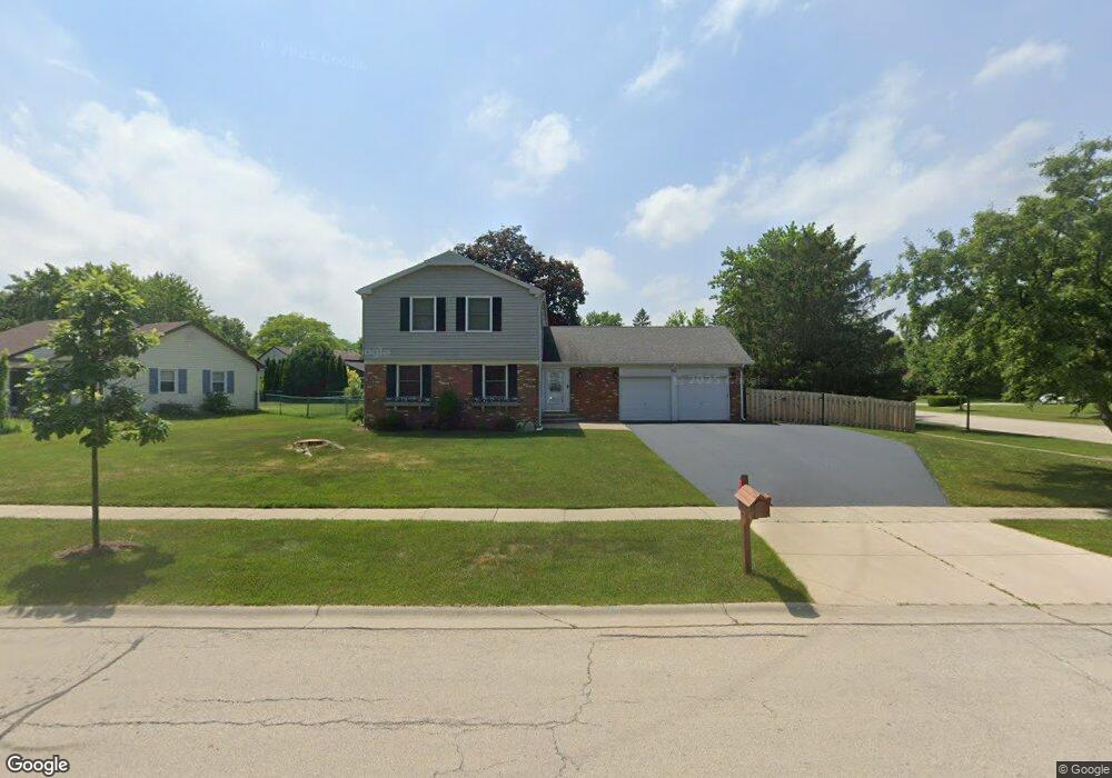
551 Springside Ln Buffalo Grove, IL 60089
Estimated Value: $530,000 - $617,000
4
Beds
3
Baths
2,115
Sq Ft
$265/Sq Ft
Est. Value
About This Home
This home is located at 551 Springside Ln, Buffalo Grove, IL 60089 and is currently estimated at $560,027, approximately $264 per square foot. 551 Springside Ln is a home located in Lake County with nearby schools including Ivy Hall Elementary School, Twin Groves Middle School, and Adlai E Stevenson High School.
Ownership History
Date
Name
Owned For
Owner Type
Purchase Details
Closed on
Apr 12, 2006
Sold by
Frantom Donald F and Frantom Declaration O Donald F
Bought by
Mulvihill Marc J and Mulvihill Jamie L
Current Estimated Value
Home Financials for this Owner
Home Financials are based on the most recent Mortgage that was taken out on this home.
Original Mortgage
$316,000
Outstanding Balance
$182,849
Interest Rate
6.48%
Mortgage Type
Fannie Mae Freddie Mac
Estimated Equity
$377,178
Purchase Details
Closed on
Mar 4, 2006
Sold by
Declaration Frantom Donald F and Declaration Carlene A Frantom
Bought by
Frantom Donald F and Frantom Declaration O Donald F
Home Financials for this Owner
Home Financials are based on the most recent Mortgage that was taken out on this home.
Original Mortgage
$316,000
Outstanding Balance
$182,849
Interest Rate
6.48%
Mortgage Type
Fannie Mae Freddie Mac
Estimated Equity
$377,178
Purchase Details
Closed on
Sep 21, 1996
Sold by
Frantom Donald F and Frantom Carlene A
Bought by
Declaration Frantom Carlene A and Declaration Carlene A Frantom
Create a Home Valuation Report for This Property
The Home Valuation Report is an in-depth analysis detailing your home's value as well as a comparison with similar homes in the area
Home Values in the Area
Average Home Value in this Area
Purchase History
| Date | Buyer | Sale Price | Title Company |
|---|---|---|---|
| Mulvihill Marc J | $395,000 | First American Title | |
| Frantom Donald F | -- | None Available | |
| Declaration Frantom Carlene A | -- | -- |
Source: Public Records
Mortgage History
| Date | Status | Borrower | Loan Amount |
|---|---|---|---|
| Open | Mulvihill Marc J | $316,000 |
Source: Public Records
Tax History Compared to Growth
Tax History
| Year | Tax Paid | Tax Assessment Tax Assessment Total Assessment is a certain percentage of the fair market value that is determined by local assessors to be the total taxable value of land and additions on the property. | Land | Improvement |
|---|---|---|---|---|
| 2024 | $14,095 | $154,108 | $35,860 | $118,248 |
| 2023 | $13,231 | $145,413 | $33,837 | $111,576 |
| 2022 | $13,231 | $132,889 | $30,923 | $101,966 |
| 2021 | $12,730 | $131,457 | $30,590 | $100,867 |
| 2020 | $12,430 | $131,905 | $30,694 | $101,211 |
| 2019 | $12,259 | $131,419 | $30,581 | $100,838 |
| 2018 | $10,870 | $120,756 | $30,225 | $90,531 |
| 2017 | $10,663 | $117,937 | $29,519 | $88,418 |
| 2016 | $10,383 | $112,934 | $28,267 | $84,667 |
| 2015 | $10,105 | $105,615 | $26,435 | $79,180 |
| 2014 | $10,031 | $103,470 | $28,391 | $75,079 |
| 2012 | $9,720 | $103,677 | $28,448 | $75,229 |
Source: Public Records
Map
Nearby Homes
- 610 Checker Dr
- 390 Springside Ln
- 711 Woodhollow Ln
- 412 Chateau Dr
- 746 Old Checker Rd Unit E5
- 800 Clohesey Dr
- 931 Shady Grove Ln
- 603 Cherbourg Ct N
- 1112 Auburn Ln
- 950 Belmar Ln
- 1141 Devonshire Rd
- 625 Marseilles Cir
- 938 Hidden Lake Dr
- 670 Dunhill Dr
- 720 Dunhill Dr
- 1113 Lockwood Dr
- 12 Cloverdale Ct
- 1118 Larraway Dr
- 98 Stonegate Rd
- 1265 Devonshire Rd
- 541 Springside Ln
- 550 Checker Dr
- 540 Checker Dr
- 710 Farrington Dr
- 721 Farrington Dr
- 540 Springside Ln
- 560 Checker Dr
- 571 Silver Rock Ln Unit 7
- 530 Checker Dr Unit 5
- 530 Springside Ln Unit 5
- 521 Springside Ln
- 520 Springside Ln Unit 5
- 690 Farrington Dr
- 570 Checker Dr
- 581 Silver Rock Ln
- 520 Checker Dr
- 541 Checker Dr
- 551 Checker Dr
- 510 Springside Ln
- 511 Springside Ln