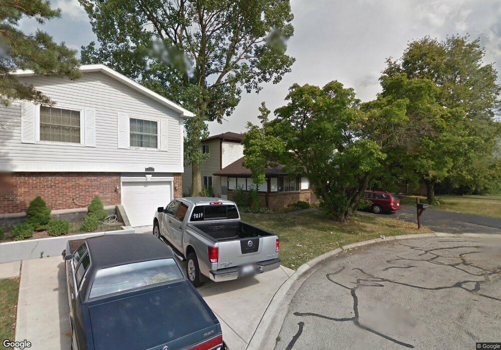
551 Sundance Ct Carol Stream, IL 60188
Estimated Value: $343,815 - $375,000
3
Beds
2
Baths
1,391
Sq Ft
$258/Sq Ft
Est. Value
About This Home
This home is located at 551 Sundance Ct, Carol Stream, IL 60188 and is currently estimated at $358,954, approximately $258 per square foot. 551 Sundance Ct is a home located in DuPage County with nearby schools including Roy De Shane Elementary School, Stratford Middle School, and Glenbard North High School.
Ownership History
Date
Name
Owned For
Owner Type
Purchase Details
Closed on
Jan 13, 1998
Sold by
Rigert John W and Rigert Jean M
Bought by
Heitert Mary
Current Estimated Value
Home Financials for this Owner
Home Financials are based on the most recent Mortgage that was taken out on this home.
Original Mortgage
$92,800
Outstanding Balance
$16,134
Interest Rate
7.16%
Estimated Equity
$342,820
Create a Home Valuation Report for This Property
The Home Valuation Report is an in-depth analysis detailing your home's value as well as a comparison with similar homes in the area
Home Values in the Area
Average Home Value in this Area
Purchase History
| Date | Buyer | Sale Price | Title Company |
|---|---|---|---|
| Heitert Mary | $116,000 | First American Title |
Source: Public Records
Mortgage History
| Date | Status | Borrower | Loan Amount |
|---|---|---|---|
| Open | Heitert Mary | $92,800 |
Source: Public Records
Tax History
| Year | Tax Paid | Tax Assessment Tax Assessment Total Assessment is a certain percentage of the fair market value that is determined by local assessors to be the total taxable value of land and additions on the property. | Land | Improvement |
|---|---|---|---|---|
| 2024 | $2,938 | $95,451 | $38,994 | $56,457 |
| 2023 | $3,060 | $87,290 | $35,660 | $51,630 |
| 2022 | $3,621 | $77,400 | $32,960 | $44,440 |
| 2021 | $3,646 | $73,540 | $31,320 | $42,220 |
| 2020 | $3,682 | $71,750 | $30,560 | $41,190 |
| 2019 | $3,696 | $68,950 | $29,370 | $39,580 |
| 2018 | $4,014 | $54,210 | $20,830 | $33,380 |
| 2017 | $3,740 | $50,250 | $19,310 | $30,940 |
| 2016 | $3,974 | $46,500 | $17,870 | $28,630 |
| 2015 | $3,865 | $43,400 | $16,680 | $26,720 |
| 2014 | $3,836 | $42,440 | $16,310 | $26,130 |
| 2013 | $3,866 | $43,890 | $16,870 | $27,020 |
Source: Public Records
Map
Nearby Homes
- 553 Alton Ct Unit 2113
- 554 Alton Ct Unit 224
- 545 Alton Ct Unit 273
- 514 Alton Ct Unit 2
- 761 Colorado Ct Unit 2241
- 517 Danbury Dr
- 766 Colorado Ct Unit 2293
- 734 Colorado Ct Unit 734
- 454 Esselen Ct Unit 2
- 648 Thunderbird Trail
- 27W270 Jefferson St
- 770 Birchbark Trail
- 27W046 North Ave
- 403 Arrowhead Trail
- 880 Hampton Dr
- 862 Omaha Ct
- 1116 Evergreen Dr
- 909 Hampton Dr
- 720 Hoover Dr Unit 124
- 1060 Cliff View Ln
Your Personal Tour Guide
Ask me questions while you tour the home.