Estimated Value: $340,000 - $435,326
3
Beds
2
Baths
1,752
Sq Ft
$226/Sq Ft
Est. Value
About This Home
This home is located at 551 Tower Rd, Vale, NC 28168 and is currently estimated at $395,332, approximately $225 per square foot. 551 Tower Rd is a home located in Lincoln County with nearby schools including North Brook Elementary School, West Lincoln Middle, and West Lincoln High School.
Ownership History
Date
Name
Owned For
Owner Type
Purchase Details
Closed on
Aug 17, 2017
Sold by
Boyles Bayne V and Boyles Glenda C
Bought by
Abernathy Anna Boyles and Abernathy Colt
Current Estimated Value
Purchase Details
Closed on
Nov 17, 2015
Sold by
Cooper Evelyn B
Bought by
Boyles Glenda C and Boyles Bayne
Home Financials for this Owner
Home Financials are based on the most recent Mortgage that was taken out on this home.
Original Mortgage
$76,200
Outstanding Balance
$60,319
Interest Rate
3.98%
Mortgage Type
Purchase Money Mortgage
Estimated Equity
$335,013
Create a Home Valuation Report for This Property
The Home Valuation Report is an in-depth analysis detailing your home's value as well as a comparison with similar homes in the area
Home Values in the Area
Average Home Value in this Area
Purchase History
| Date | Buyer | Sale Price | Title Company |
|---|---|---|---|
| Abernathy Anna Boyles | -- | None Available | |
| Boyles Glenda C | $76,000 | None Available |
Source: Public Records
Mortgage History
| Date | Status | Borrower | Loan Amount |
|---|---|---|---|
| Open | Boyles Glenda C | $76,200 |
Source: Public Records
Tax History
| Year | Tax Paid | Tax Assessment Tax Assessment Total Assessment is a certain percentage of the fair market value that is determined by local assessors to be the total taxable value of land and additions on the property. | Land | Improvement |
|---|---|---|---|---|
| 2025 | $2,232 | $352,122 | $38,841 | $313,281 |
| 2024 | $2,212 | $352,122 | $38,841 | $313,281 |
| 2023 | $2,207 | $352,122 | $38,841 | $313,281 |
| 2022 | $1,656 | $214,313 | $26,526 | $187,787 |
| 2021 | $1,656 | $214,313 | $26,526 | $187,787 |
| 2020 | $1,498 | $214,313 | $26,526 | $187,787 |
| 2019 | $1,498 | $214,313 | $26,526 | $187,787 |
| 2018 | $1,542 | $201,532 | $24,903 | $176,629 |
| 2017 | $1,475 | $176,629 | $0 | $176,629 |
| 2016 | $1,237 | $174,036 | $27,802 | $146,234 |
| 2015 | $1,310 | $174,036 | $27,802 | $146,234 |
| 2014 | $1,388 | $198,373 | $30,935 | $167,438 |
Source: Public Records
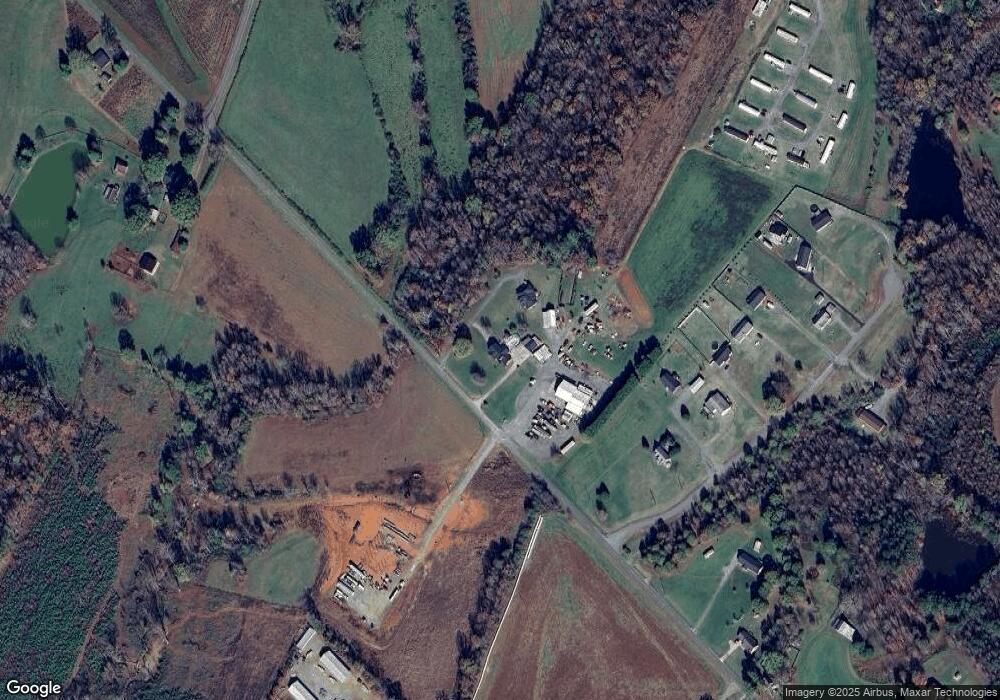
Map
Nearby Homes
- 6051 Pointe West Ln
- 00 #24 Majestic Pine Dr Unit 24
- 6599 Majestic Pine Dr
- 448 Dave Peterson Ln
- 3243 Wilson Ct Unit 11
- 5790 Summer Ln
- 5958 Hoover Elmore Rd
- 00 Cat Square Rd Unit 1
- 00 Cat Square Rd
- 00 Clyde Wehunt Rd Unit 2
- 6203 Flay Rd
- 00 Westwinds Rd Unit F3
- 00 McCurry Farm Ln Unit F1, F2 & F3
- 00 McCurry Farm Ln Unit D
- 520 Shoal Rd
- 00 Hill Gates Trail Unit 32
- 00 Hill Gates Trail Unit 31
- 6316 Hill Gates Trail
- 00 Wilson Ct Unit 12
- 00 Wilson Ct Unit 13
- 6100 Pointe Ln W
- 6100 Pointe Ln W Unit 3
- 611 Tower Rd
- 0 Pointe Ln W Unit 4 3085219
- 0 Pointe Ln W Unit 6 3085301
- 0 Pointe Ln W Unit 5 3085262
- 0 Pointe Ln W Unit 6 9582138
- 0 Pointe Ln W Unit 5 9582133
- 0 Pointe Ln W Unit 4 9582130
- 4 Pointe Ln W Unit 4
- #4 lot Pointe Ln W
- LOT #6 Pointe Ln W
- LOT #6 Pointe Ln W Unit 6
- 6062 Pointe West Ln Unit 6
- 5 Pointe Ln W Unit 5
- 6052 Pointe West Ln
- 6036 Pointe West Ln Unit 10
- 6036 Pointe West Ln
- 6052 Pointe Ln W
- 8 Pointe Ln W Unit 8
Your Personal Tour Guide
Ask me questions while you tour the home.