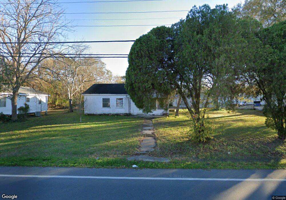
551 W Maple Ave Eunice, LA 70535
Estimated Value: $116,000 - $169,000
Studio
--
Bath
--
Sq Ft
15,246
Sq Ft Lot
About This Home
This home is located at 551 W Maple Ave, Eunice, LA 70535 and is currently estimated at $142,967. 551 W Maple Ave is a home located in St. Landry Parish with nearby schools including Eunice Elementary School, Eunice Junior High School, and Central Middle School.
Ownership History
Date
Name
Owned For
Owner Type
Purchase Details
Closed on
Apr 5, 2024
Sold by
Brown Phyllis Lynne Chataignier
Bought by
Brown Daniel and Mcfarlain Brown Lecia
Current Estimated Value
Purchase Details
Closed on
Dec 22, 2021
Sold by
Louis Brown Blake
Bought by
Brown Daniel
Purchase Details
Closed on
Apr 11, 2008
Sold by
Raymond L Raymond L
Bought by
Brown Blake Louis
Home Financials for this Owner
Home Financials are based on the most recent Mortgage that was taken out on this home.
Original Mortgage
$47,000
Interest Rate
6.11%
Create a Home Valuation Report for This Property
The Home Valuation Report is an in-depth analysis detailing your home's value as well as a comparison with similar homes in the area
Purchase History
| Date | Buyer | Sale Price | Title Company |
|---|---|---|---|
| Brown Daniel | $10,000 | None Listed On Document | |
| Brown Daniel | $5,000 | None Listed On Document | |
| Brown Blake Louis | -- | -- |
Source: Public Records
Mortgage History
| Date | Status | Borrower | Loan Amount |
|---|---|---|---|
| Previous Owner | Brown Blake Louis | $47,000 |
Source: Public Records
Tax History
| Year | Tax Paid | Tax Assessment Tax Assessment Total Assessment is a certain percentage of the fair market value that is determined by local assessors to be the total taxable value of land and additions on the property. | Land | Improvement |
|---|---|---|---|---|
| 2024 | $259 | $11,540 | $2,780 | $8,760 |
| 2023 | $233 | $10,820 | $2,780 | $8,040 |
| 2022 | $471 | $10,820 | $2,780 | $8,040 |
| 2021 | $471 | $10,820 | $2,780 | $8,040 |
| 2020 | $465 | $10,820 | $2,780 | $8,040 |
| 2019 | $435 | $9,980 | $2,670 | $7,310 |
| 2018 | $435 | $9,980 | $2,670 | $7,310 |
| 2017 | $435 | $9,980 | $2,670 | $7,310 |
| 2015 | $409 | $9,460 | $2,670 | $6,790 |
| 2013 | $409 | $9,460 | $2,670 | $6,790 |
Source: Public Records
Map
Nearby Homes
Your Personal Tour Guide
Ask me questions while you tour the home.