Estimated Value: $509,000 - $803,000
3
Beds
2
Baths
2,260
Sq Ft
$303/Sq Ft
Est. Value
About This Home
This home is located at 551 W Sand Point Rd, Mead, OK 73449 and is currently estimated at $683,678, approximately $302 per square foot. 551 W Sand Point Rd is a home located in Bryan County with nearby schools including Silo Early Childhood Center, Silo Elementary School, and Silo Middle School.
Ownership History
Date
Name
Owned For
Owner Type
Purchase Details
Closed on
Jul 15, 2008
Sold by
Rutter John E and Rutter Donna L
Bought by
Rutter John E and Rutter Donna L
Current Estimated Value
Home Financials for this Owner
Home Financials are based on the most recent Mortgage that was taken out on this home.
Original Mortgage
$154,200
Outstanding Balance
$100,506
Interest Rate
6.36%
Mortgage Type
New Conventional
Estimated Equity
$583,172
Purchase Details
Closed on
May 23, 1996
Sold by
Hodges Ozon and Hodges Carolyn
Bought by
Winters Lloyd and Winters Ruby
Create a Home Valuation Report for This Property
The Home Valuation Report is an in-depth analysis detailing your home's value as well as a comparison with similar homes in the area
Home Values in the Area
Average Home Value in this Area
Purchase History
| Date | Buyer | Sale Price | Title Company |
|---|---|---|---|
| Rutter John E | -- | None Available | |
| Winters Lloyd | $6,000 | -- |
Source: Public Records
Mortgage History
| Date | Status | Borrower | Loan Amount |
|---|---|---|---|
| Open | Rutter John E | $154,200 |
Source: Public Records
Tax History Compared to Growth
Tax History
| Year | Tax Paid | Tax Assessment Tax Assessment Total Assessment is a certain percentage of the fair market value that is determined by local assessors to be the total taxable value of land and additions on the property. | Land | Improvement |
|---|---|---|---|---|
| 2025 | $2,339 | $29,021 | $19,100 | $9,921 |
| 2024 | $2,339 | $27,640 | $18,191 | $9,449 |
| 2023 | $2,339 | $26,323 | $17,378 | $8,945 |
| 2022 | $2,123 | $25,070 | $16,567 | $8,503 |
| 2021 | $1,972 | $23,877 | $15,775 | $8,102 |
| 2020 | $1,888 | $22,740 | $15,020 | $7,720 |
| 2019 | $1,826 | $21,656 | $14,300 | $7,356 |
| 2018 | $1,746 | $20,626 | $7,770 | $12,856 |
| 2017 | $1,446 | $19,642 | $7,761 | $11,881 |
| 2016 | $1,378 | $18,708 | $3,670 | $15,038 |
| 2015 | $1,378 | $18,708 | $3,670 | $15,038 |
| 2014 | $1,273 | $17,293 | $2,475 | $14,818 |
Source: Public Records
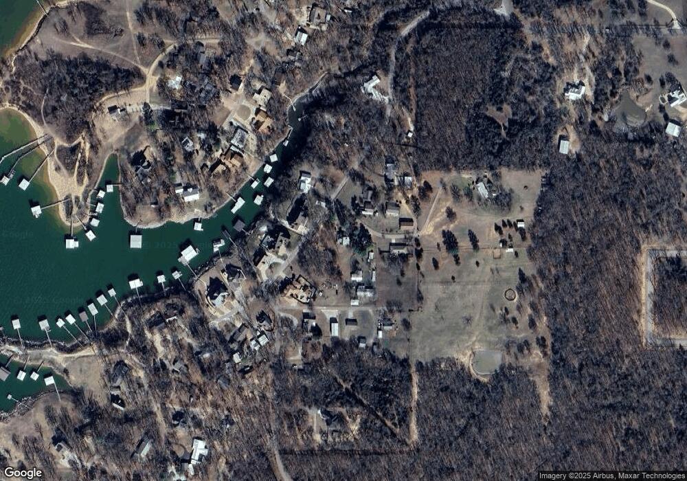
Map
Nearby Homes
- 0 S Texoma Rd
- 429 N Sand Point Rd
- 802 W Sand Point Rd
- 200 Sunset Cove
- 180 Sunset Cove
- 0 N Sand Point Rd
- 426 White Dr
- 320 Sunset Way
- 280 Sunset Way
- 300 Sunset Way
- 342 Sunset Way
- 364 Sunset Way
- 198 Texoma Dr
- 1409 Streetman Rd
- 0 E Sophia Loop Unit 20251214
- 45 W Sophia Loop
- 36 Flounder Rd
- 65 Bass Dr
- 75 Perch Dr
- 653 Max Rd
- 25 Whatleys Way
- 68 Whatleys Way
- 554 W Sand Point Rd
- 655 W Sand Point Rd
- 523 W Sand Point Rd
- 33 S Texoma Rd
- 0 Hills Rd
- 94 Hills Rd
- 84 Hills Rd
- 512 N Sand Point Rd
- 61 S Texoma Rd
- 695 W Sand Point Rd
- 698 W Sand Point Rd
- 445 N Sand Point Rd
- 71 S Texoma Rd
- 459 N Sand Point Rd
- 709 W Sand Point Rd
- 483 N Sand Point Rd
- 458 W Sand Point Rd
- 25 S Texoma Rd